Maplify Intelligence Hub
Intelligence Hub
Guides, checklists, tools and insight on planning constraints, flood risk, land ownership and the environment, all in one place.
Guides and articles
Expert guidance on land registry, planning constraints, environmental designations, flood risk and property due diligence in England and Wales.
63 articles
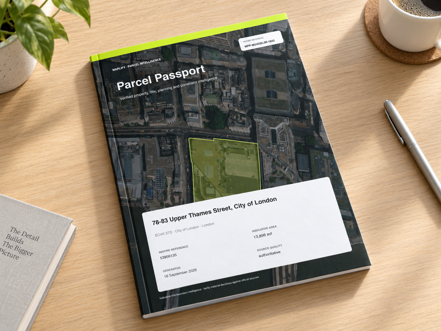
Maplify Parcel Passport: A Complete Property & Planning Report for UK Property Due Diligence
See how Maplify combines parcel mapping, planning history, 24 planning constraints, EPC, Price Paid evidence, ownership signals and AI analysis into one professional property report.
Read the full guide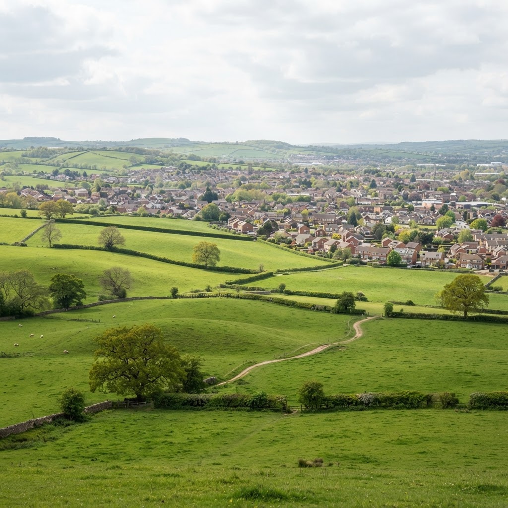
How to Check the Planning History of a Property or Piece of Land in the UK
A practical guide to finding a property's planning application and decision history, spotting important conditions and appeals, and combining historic records with current site constraints.
Editorial content updated 26 Oct 2026
Restrictive Covenants on Land and Property: What They Mean and How to Check
A practical guide to restrictive covenants on UK land: where they appear in title documents, what they may restrict, and how to factor them into property and development due diligence.
Editorial content updated 26 Oct 2026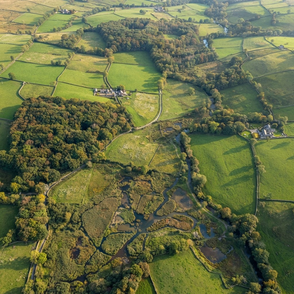
Living England Habitat Map: Natural England’s Phase 4 Data for Planners
Natural England’s Living England Phase 4 habitat map gives planners a satellite-derived baseline for UK habitats. Learn how to use it for BNG scoping, ecological surveys and planning.
Editorial content updated 26 Oct 2026
National Forest Inventory 2024: Forestry Maps for Land Due Diligence
The Forestry Commission’s NFI 2024 dataset is a key constraint for UK land buyers. This guide explains woodland types, felling licences and how forest cover shapes land value and development potential.
Editorial content updated 26 Oct 2026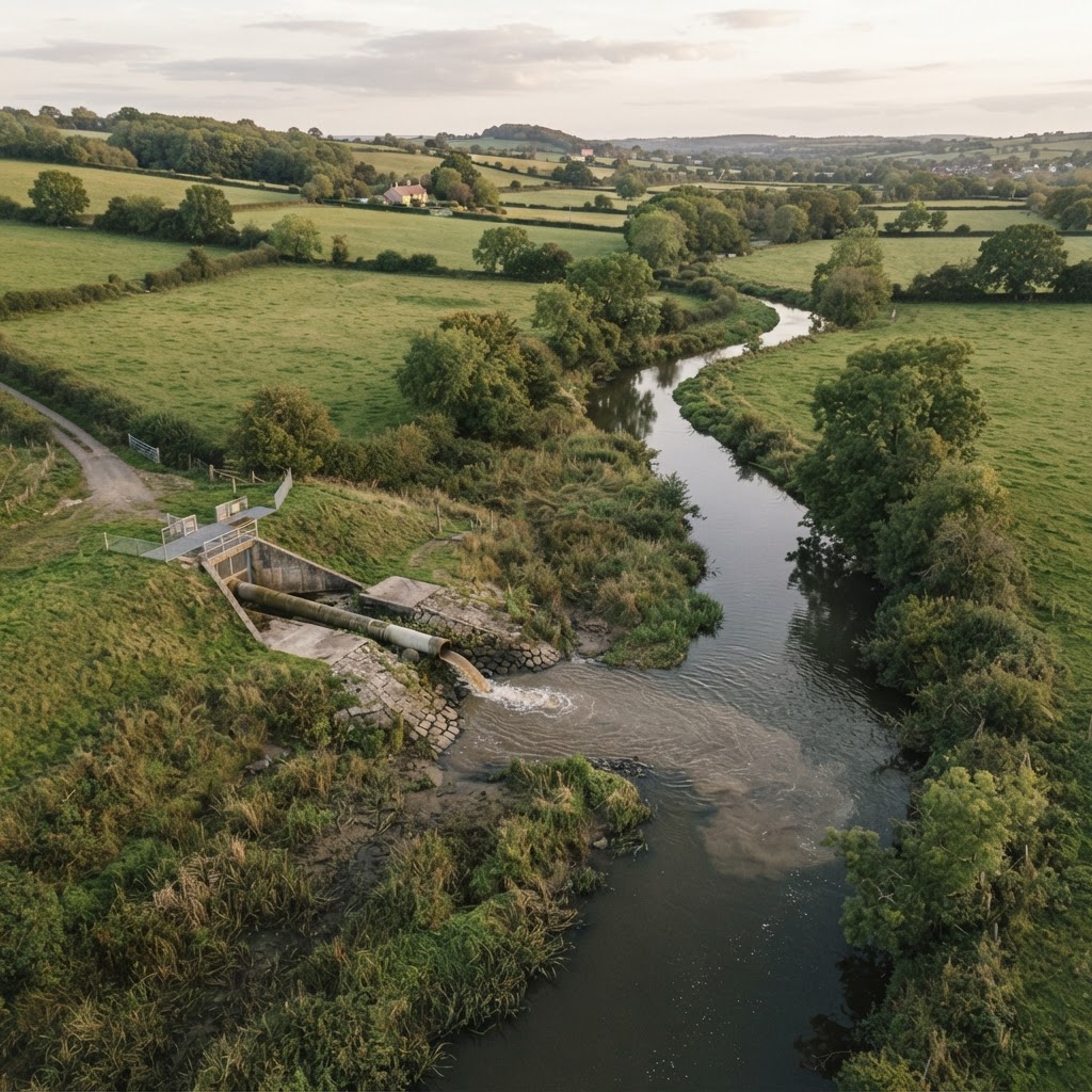
Storm Overflows & Sewage Discharge: What Property Buyers Need to Know in 2025
A practical guide to England’s 2025 EDM storm overflow dataset — what the numbers show, how to find CSO locations near a site, and what frequent spills mean for planning, value and conveyancing.
Editorial content updated 26 Oct 2026
Free Unlimited Access for Councils, Charities, Schools and Other Eligible Organisations
Councils, charities, schools, colleges and other eligible public-interest organisations can now unlock unlimited free access to Maplify, including free flood risk, planning constraints and planning application reports.
Editorial content updated 26 Oct 2026Understanding Land Registry Boundaries in England & Wales
Complete guide to HM Land Registry INSPIRE cadastral parcels, property title boundaries, and boundary dispute resolution.
Editorial content updated 26 Oct 2026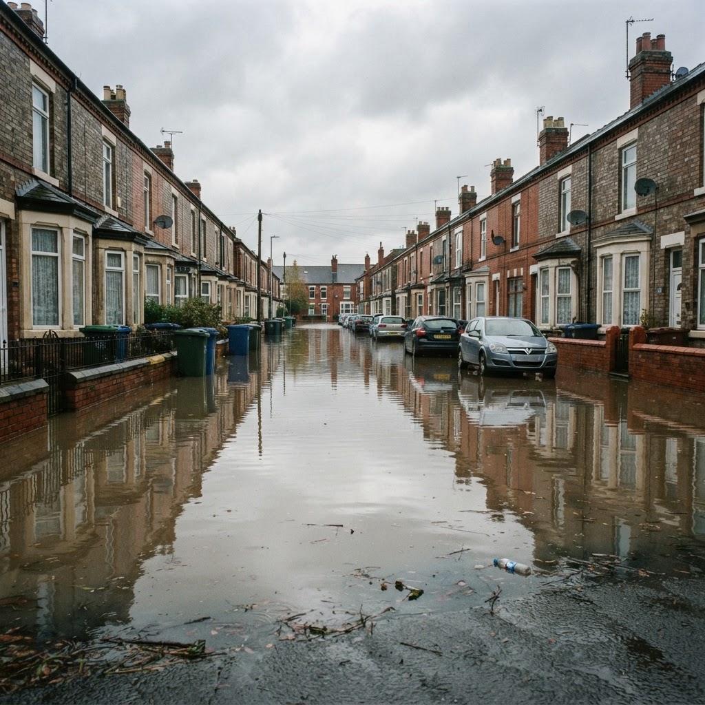
Flood Risk Mapping & Environment Agency Flood Zones in England
Comprehensive guide to Environment Agency flood zones 2 and 3, surface water flooding, and flood risk assessment.
Editorial content updated 26 Oct 2026Green Belt Policy & Development Restrictions in England
Complete guide to Green Belt land designation, planning restrictions, and very special circumstances test.
Editorial content updated 26 Oct 2026
Listed Buildings & Conservation Areas: Heritage Planning Guide
Complete guide to listed building consent, conservation area restrictions, and Historic England designations.
Editorial content updated 26 Oct 2026
SSSIs & Environmental Designations for Property Development
Sites of Special Scientific Interest, AONBs, national parks, and Natural England environmental constraints.
Editorial content updated 26 Oct 2026
Coal Mining Risk Reports: Property Buyer's Complete Guide
Coal Authority mining reports, development high risk areas, mine entries affecting property searches.
Editorial content updated 26 Oct 2026
Tree Preservation Orders (TPO): Planning & Development Guide
TPO planning restrictions, tree removal consent, and protected woodland for property development.
Editorial content updated 26 Oct 2026
Ancient Woodland Protection & NPPF Planning Policy
Ancient woodland inventory, irreplaceable habitat protection, and planning policy for woodland sites.
Editorial content updated 26 Oct 2026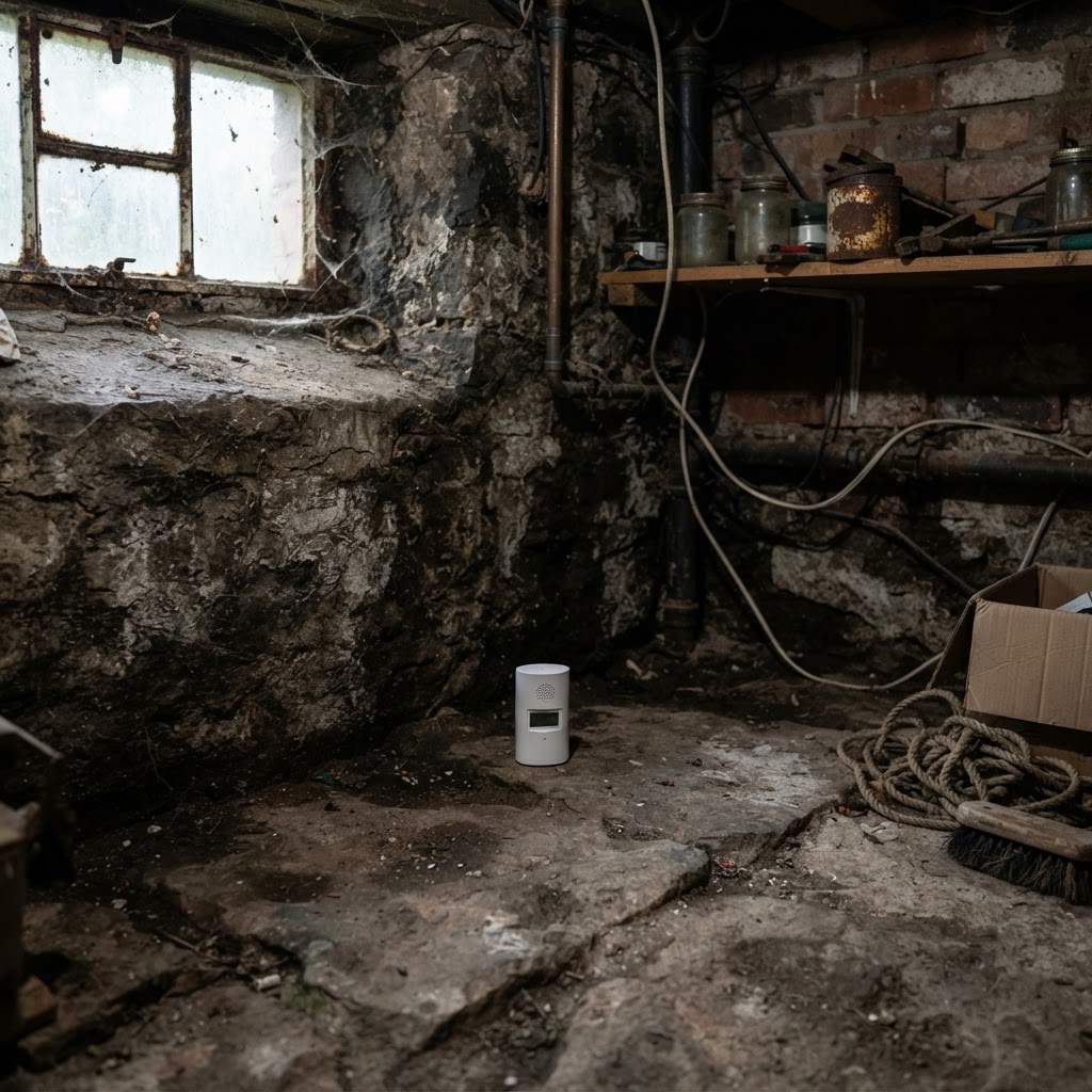
Radon Risk Areas & Property: UK Public Health England Guide
Radon gas risk areas, BGS radon potential mapping, property testing and remediation requirements.
Editorial content updated 26 Oct 2026
Contaminated Land Register: Environmental Searches for Property
Contaminated land register searches, Part 2A EPA contamination, historic landfill sites.
Editorial content updated 26 Oct 2026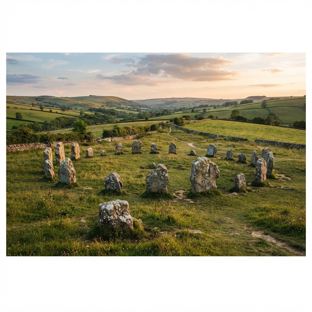
Scheduled Monuments & Archaeological Sites: Planning Guide
Scheduled monuments, archaeological sites, Historic England consent requirements for development.
Editorial content updated 26 Oct 2026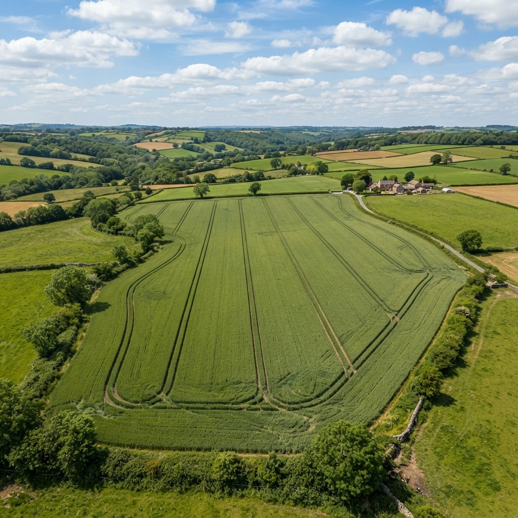
Agricultural Land Classification & Best and Most Versatile Land
Agricultural Land Classification grades, Best and Most Versatile (BMV) land, DEFRA ALC mapping.
Editorial content updated 26 Oct 2026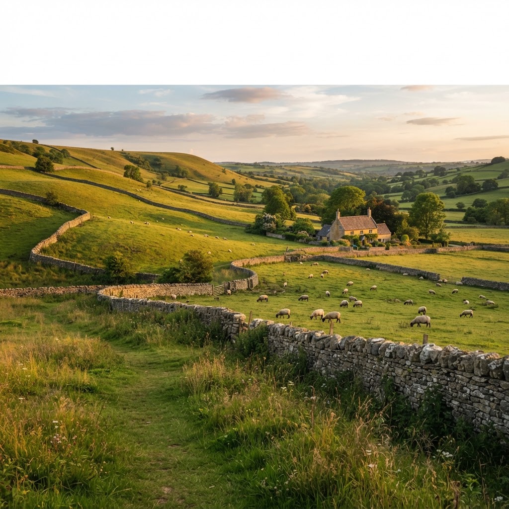
Areas of Outstanding Natural Beauty (AONB): Planning Policy Guide
AONB designation, landscape protection, development restrictions in protected landscapes.
Editorial content updated 26 Oct 2026
National Parks England: Development Restrictions & Planning Policy
National park designation, major development test, planning restrictions in protected landscapes.
Editorial content updated 26 Oct 2026
Article 4 Directions: Removing Permitted Development Rights
Article 4 directions, permitted development restrictions, conservation area Article 4s.
Editorial content updated 26 Oct 2026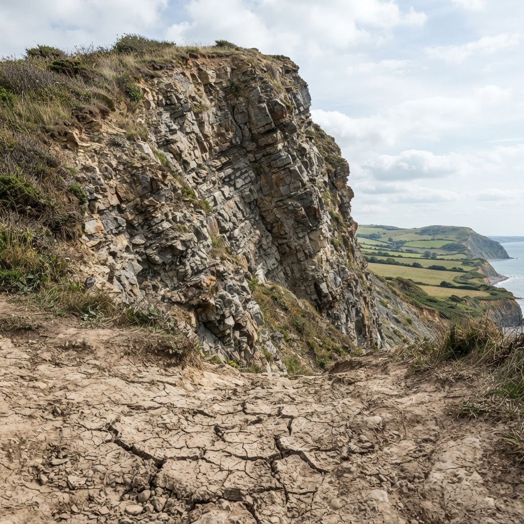
BGS Geology & Ground Stability: Property Due Diligence Guide
British Geological Survey data, ground stability hazards, shrink-swell clay, landslides.
Editorial content updated 26 Oct 2026
Registered Parks & Gardens: Historic England Designation Guide
Registered parks and gardens, Historic England Register, heritage impact assessments.
Editorial content updated 26 Oct 2026
Priority Habitats & Biodiversity: Natural England Mapping
Priority habitats inventory, biodiversity net gain, habitat protection planning policy.
Editorial content updated 26 Oct 2026
Conservation Area Consent: Planning & Heritage Guide
Conservation area designation, consent requirements, character appraisals, demolition control.
Editorial content updated 26 Oct 2026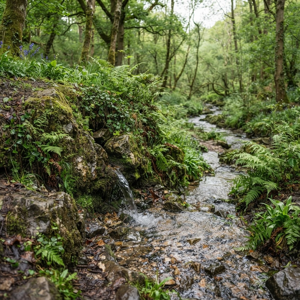
Source Protection Zones: Groundwater & Contamination Risk
Source protection zones, groundwater vulnerability, Environment Agency SPZ mapping.
Editorial content updated 26 Oct 2026
Neighbourhood Plans: Local Planning Policy & Site Allocations
Neighbourhood plans, community-led planning, site allocations, local policies affecting development.
Editorial content updated 26 Oct 2026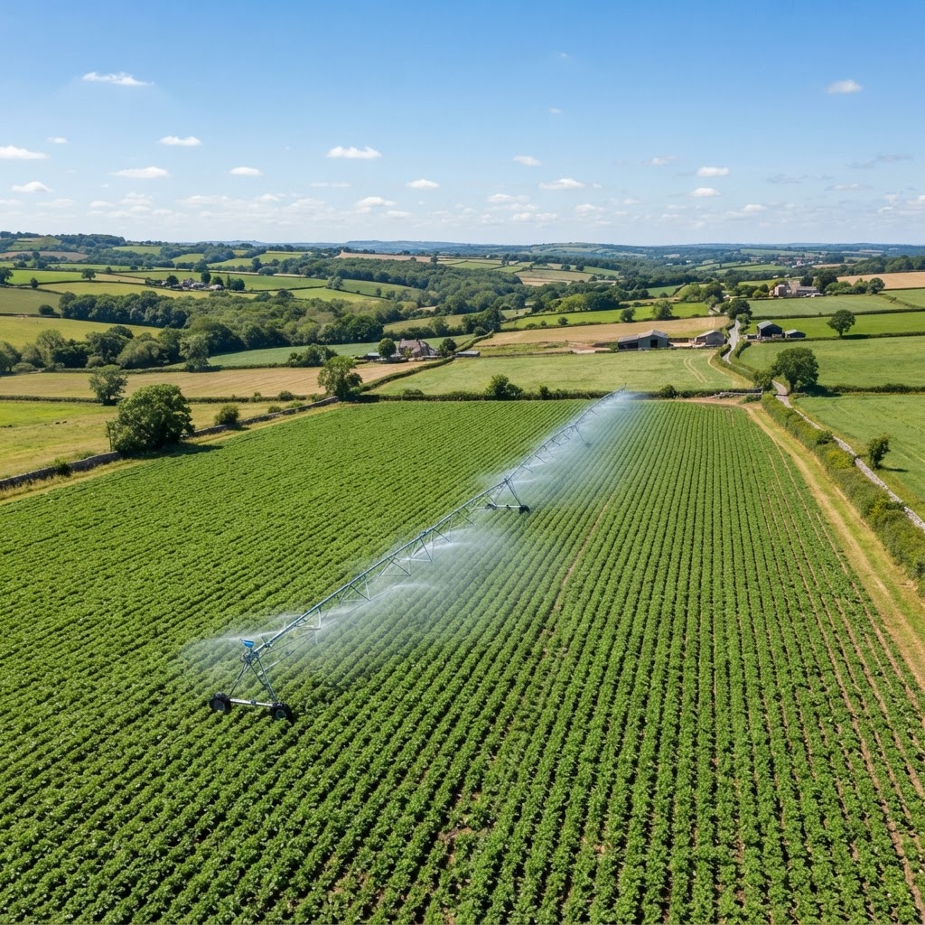
Nitrate Vulnerable Zones: Agricultural & Development Restrictions
Nitrate vulnerable zones, water quality protection, agricultural restrictions, phosphate neutrality.
Editorial content updated 26 Oct 2026
Free Interactive Tree Preservation Order Map UK
Search and check TPOs online using our free interactive map. View official Local Authority protected trees, TPO zones and planning restrictions.
Editorial content updated 26 Oct 2026
Free Interactive UK Rivers & Lakes Map
Explore rivers, lakes, watercourses and water bodies using our interactive map.
Editorial content updated 26 Oct 2026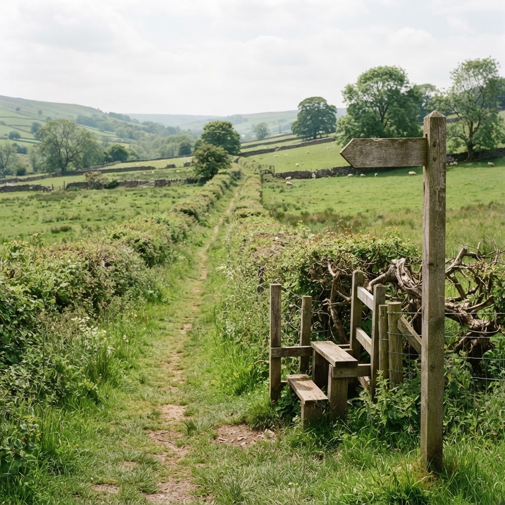
Free Interactive Public Rights of Way Map UK
Search footpaths, bridleways, byways and CRoW access land using our free interactive PROW map.
Editorial content updated 26 Oct 2026
Free Interactive UK Marine & Coastal Map
Explore offshore wind farms, shipping routes, subsea cables and marine spatial plans.
Editorial content updated 26 Oct 2026
Free Interactive UK Transport Map - Railways, Roads & HS2
Explore railway lines, stations, major roads, HS2 safeguarding, cycle routes and EV charging.
Editorial content updated 26 Oct 2026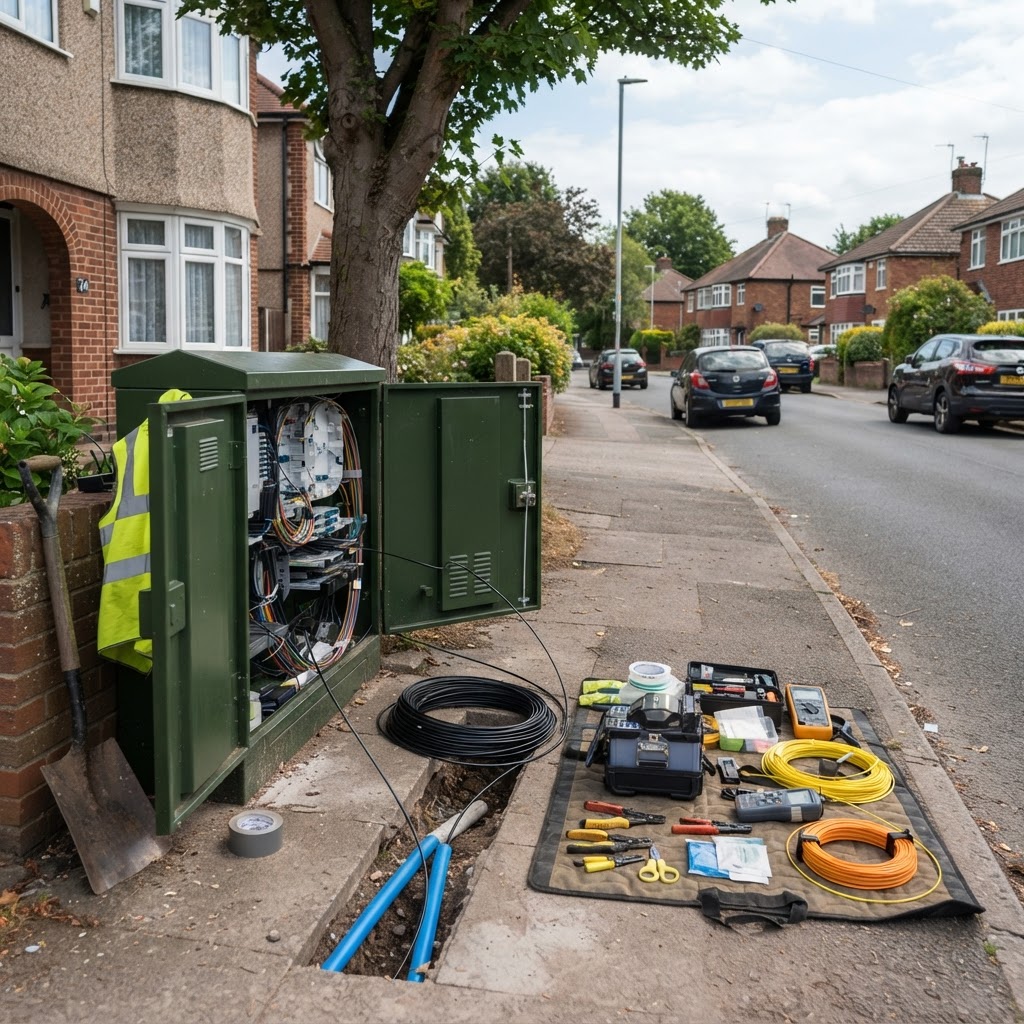
Free UK Broadband & Mobile Coverage Map Online
Check broadband speeds and mobile coverage by postcode using our interactive map.
Editorial content updated 26 Oct 2026
Press Release: Gosen Group Launches Maplify — Free UK Property Mapping
Gosen Group announces Maplify, a revolutionary free-to-use property constraint mapping platform with 265+ official data layers.
Editorial content updated 26 Oct 2026
How To Check Planning Constraints On Any UK Property (Complete 2026 Guide)
Complete guide to checking every planning constraint before buying land or property — flood zones, Green Belt, conservation areas, listed buildings, TPOs, SSSIs and more with free map tools.
Editorial content updated 26 Oct 2026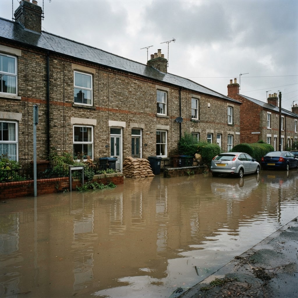
How To Check Flood Risk For Any Property In The UK (Full Guide + Maps)
Step-by-step guide to checking flood risk before buying a UK property. Covers flood zones, surface water maps, flood history, conveyancing searches, and mortgage implications.
Editorial content updated 26 Oct 2026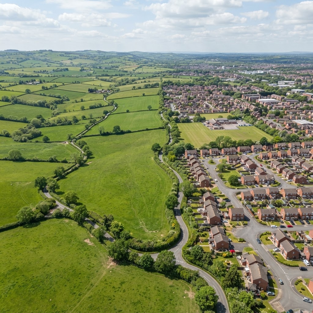
How To Check If Land Is In The Green Belt (UK Guide + Maps)
Complete guide to checking Green Belt status. Covers the 14 English Green Belts, planning restrictions, Grey Belt reforms, building exceptions, and land value.
Editorial content updated 26 Oct 2026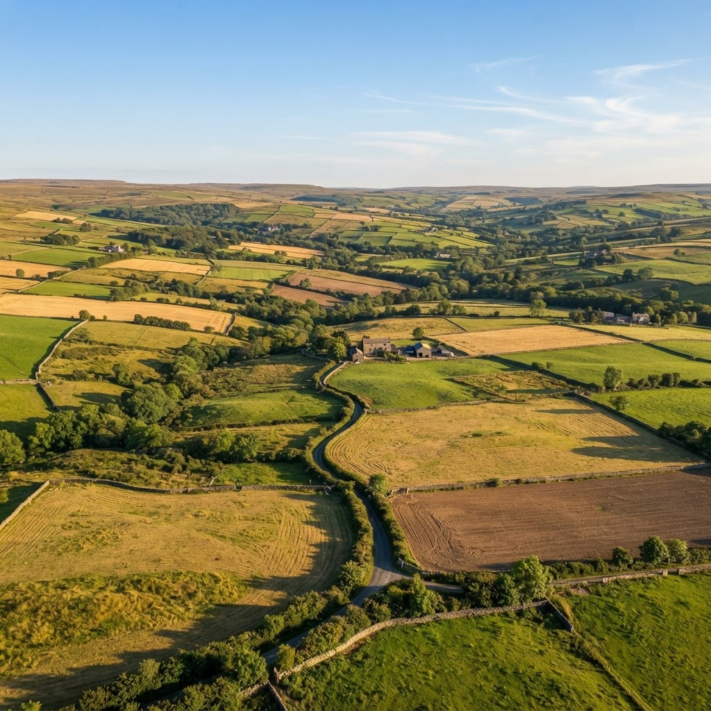
How To Check Who Owns Land In The UK Using Land Registry
Complete guide to finding land ownership using HM Land Registry. Covers title register search, title plans, land ownership maps, and free INSPIRE cadastral data.
Editorial content updated 26 Oct 2026
How To Check Radon Risk For Any UK Property (2026 Guide)
Complete guide to checking radon risk before buying UK property. Covers radon maps, postcode checkers, affected areas, safe levels, and mortgage implications.
Editorial content updated 26 Oct 2026
Property Due Diligence Checklist UK (2026) — What Searches To Do Before Buying
Complete property due diligence checklist covering planning constraints, flood risk, Land Registry, environmental searches, ecology, highways, and utilities.
Editorial content updated 26 Oct 2026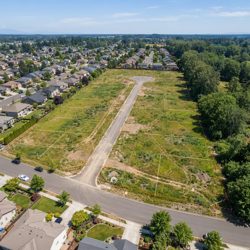
How To Check Development Potential of Land In The UK (2026 Guide)
Complete guide to assessing development potential. Covers planning policy context, constraint impacts, Local Plan allocations, planning overlays, and viability.
Editorial content updated 26 Oct 2026
How Planning Constraints Affect Land Value In The UK (2026)
Complete guide to how planning constraints affect land and property value. Covers Green Belt, flood zones, conservation areas, SSSIs, contamination, and TPOs.
Editorial content updated 26 Oct 2026
Flood Risk Map London — Check Flood Zones By Postcode (2026)
Interactive flood risk map for London showing Environment Agency flood zones, Thames tidal flooding, surface water risk, and historic flood events.
Editorial content updated 26 Oct 2026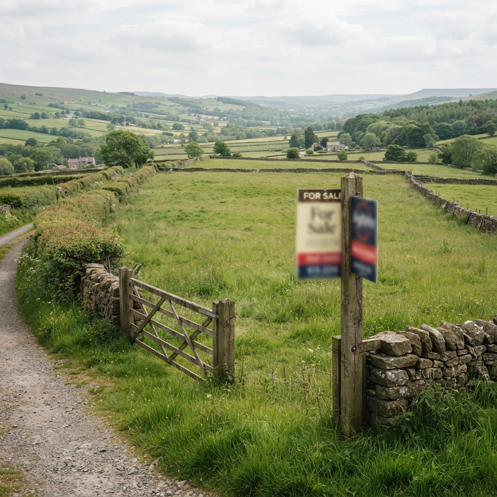
What Searches Should I Do Before Buying Land In The UK? (2026 Guide)
Complete guide to every search you should do before buying land — free online checks, official register searches, planning constraints, flood risk, and ecology.
Editorial content updated 26 Oct 2026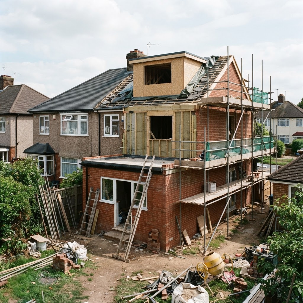
Do I Need Planning Permission? UK Guide & Free Interactive Checker (2026)
Step-by-step interactive tool to find out if you need planning permission for your project — extensions, loft conversions, outbuildings, change of use, and more under the GPDO 2015.
Editorial content updated 26 Oct 2026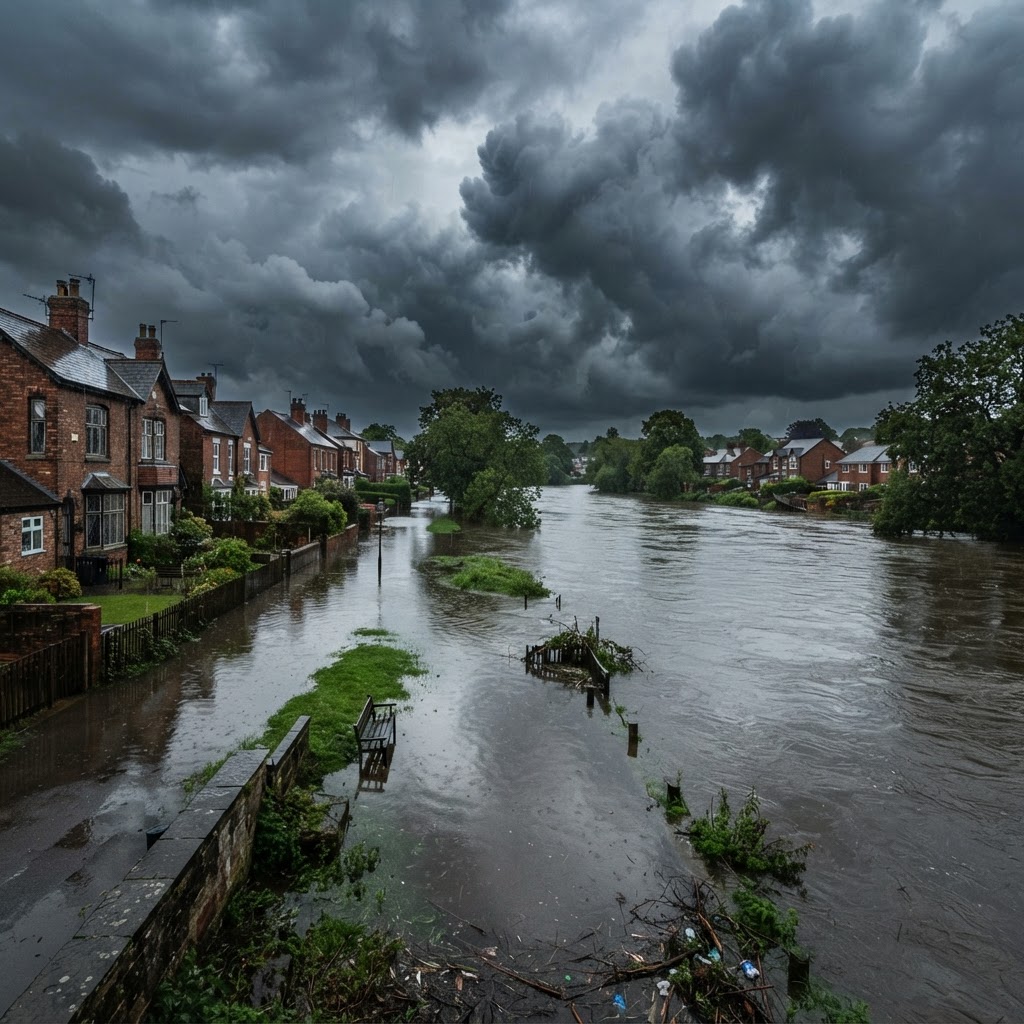
Flood Risk Checker UK — What Does Your Flood Zone Mean? (2026 Guide)
Use our free interactive flood risk checker to understand what Environment Agency flood zones 1, 2, 3a and 3b mean for your property, development, or mortgage — with NPPF policy references.
Editorial content updated 26 Oct 2026
Stamp Duty Calculator UK 2026 — SDLT Rates, Relief & How It Works
Free stamp duty (SDLT) calculator for England covering standard rates, first-time buyer relief, additional property surcharge, company purchases and non-residential rates with current 2025/2026 rates.
Editorial content updated 26 Oct 2026
Which Planning Application Do I Need? UK Guide & Free Selector Tool (2026)
Free interactive tool to find the right planning application type — householder, full planning, prior approval, LDC, LBC, or tree works. Includes 2024 fees, timeframes and legal references for England.
Editorial content updated 26 Oct 2026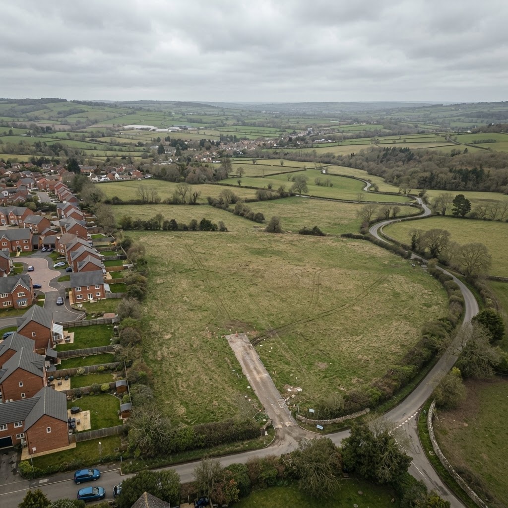
How To Find Land For Sale Off-Market In The UK (Site Sourcing Guide)
Complete guide to sourcing off-market development land — screening sites, checking constraints, identifying landowners, and structuring option and promotion agreements.
Editorial content updated 26 Oct 2026
Buying Land At Auction In The UK: Complete Due Diligence Guide
Complete guide to buying land and property at auction — legal packs, pre-auction constraint checks, flood risk, boundary verification and auction red flags.
Editorial content updated 26 Oct 2026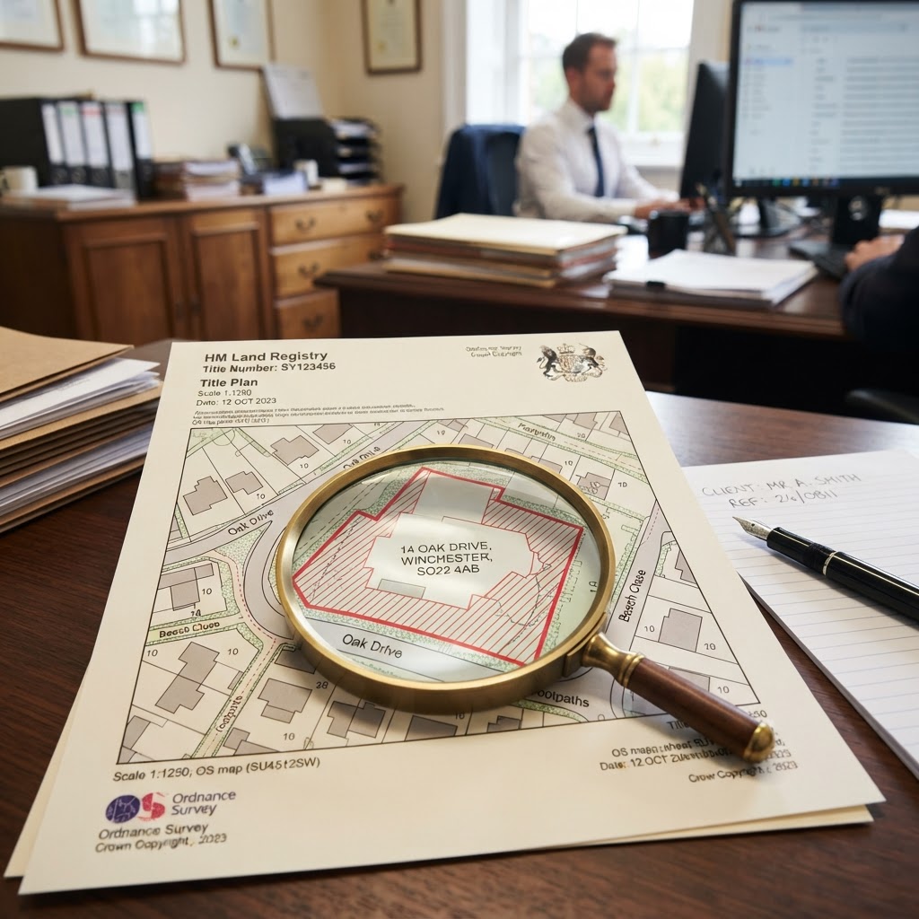
How To Read A Land Registry Title Plan & Resolve Boundary Disputes
Complete guide to reading Land Registry title plans and resolving boundary disputes — general vs fixed boundaries, historic deeds and adverse possession.
Editorial content updated 26 Oct 2026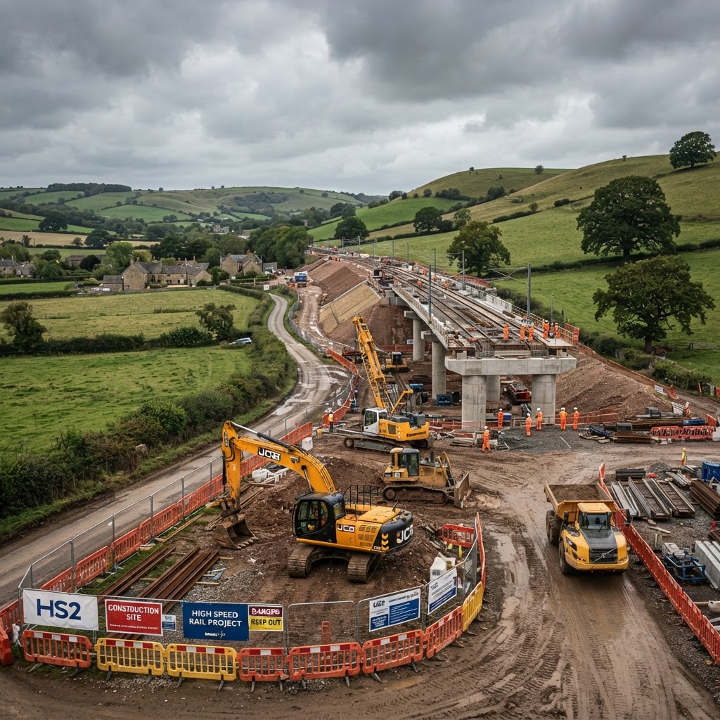
HS2 Safeguarded Land: What It Means For Property Owners & Developers
Complete guide to HS2 safeguarded land — what safeguarding means for planning applications, how to check if your site is affected, and compensation rights.
Editorial content updated 26 Oct 2026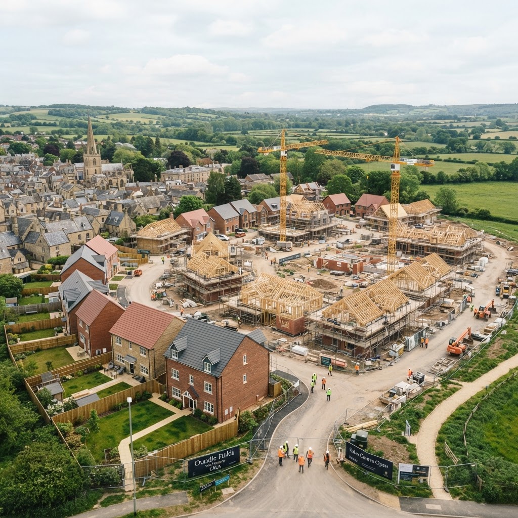
Housing Allocations Explained: How To Find Land Allocated For Development
Complete guide to housing allocations in UK Local Plans — the suitable, available, achievable tests, and what allocation means for land value.
Editorial content updated 26 Oct 2026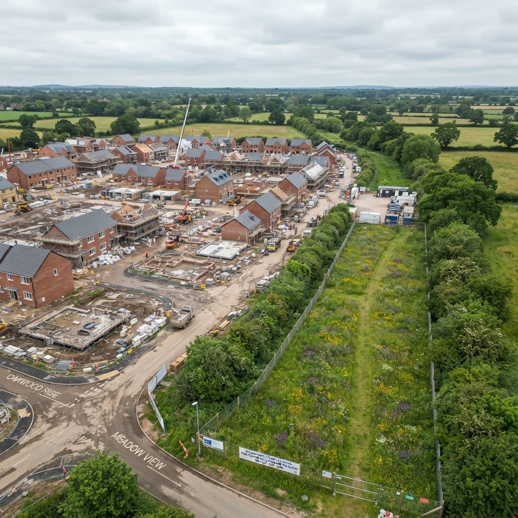
Biodiversity Net Gain 2026: BNG Requirements, Exemptions, Costs and Site Maps
Complete 2026 guide to Biodiversity Net Gain — mandatory 10% requirements, the 6 August 2026 rule changes, exemptions, on-site vs off-site delivery and unit calculation.
Editorial content updated 26 Oct 2026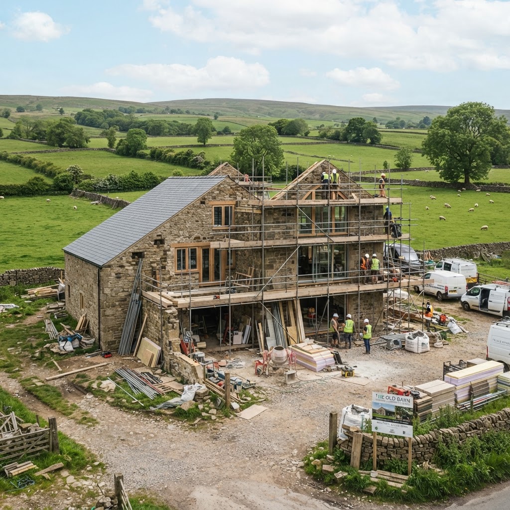
Can You Build on Agricultural Land in the UK? Planning Permission, Class Q and Site Constraints
Complete guide to building on agricultural land — planning permission routes, Class Q barn conversions, ALC grades, Green Belt policy and a seven-step assessment.
Editorial content updated 26 Oct 2026
Buying Land at Auction: 25 Checks to Complete Before You Bid
The UK due-diligence checklist for buying land at auction — 25 checks covering title, boundaries, access, covenants, planning history and auction red flags.
Editorial content updated 26 Oct 2026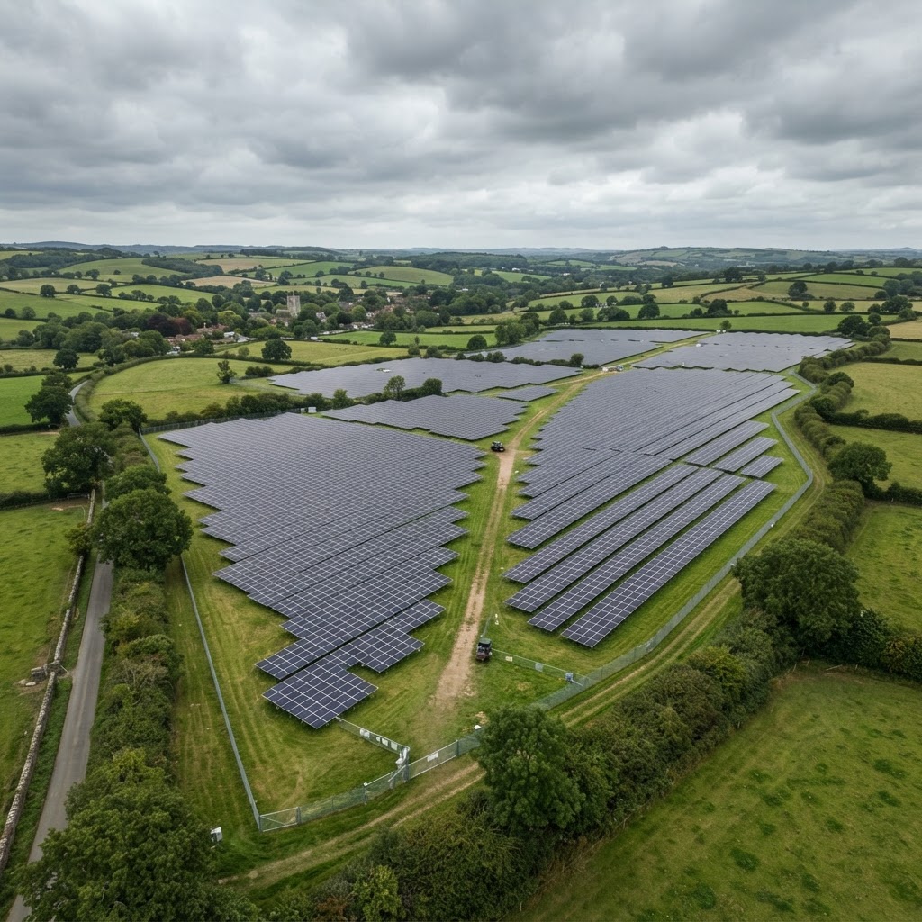
Solar Farm Planning Permission UK: The Complete Site-Selection and Constraints Checklist
Complete UK guide to solar farm planning permission and site selection — DCO vs local planning, ALC, flood risk, Green Belt, heritage, SSSIs and BNG.
Editorial content updated 26 Oct 2026
UK Planning Constraints Map: The Complete 2026 Guide
Every planning constraint explained — Green Belt, conservation areas, listed buildings, flood zones, TPOs, SSSIs, Article 4s, contaminated land — with how to check them all on one free map.
Editorial content updated 26 Oct 2026
Flood Zones Explained: Flood Zone 1, 2, 3a & 3b (2026 UK Guide)
Complete UK guide to flood zones — probabilities, planning restrictions, the Sequential and Exception Tests, Flood Risk Assessments, insurance implications, and how to check your flood zone for free.
Editorial content updated 26 Oct 2026
How to Find Out Who Owns Land in the UK (2026 Free Methods Guide)
Every free and paid method to find land ownership — HM Land Registry title searches, INSPIRE cadastral maps, CCOD/OCOD company ownership data, and what to do when ownership is unclear.
Editorial content updated 26 Oct 2026
Permitted Development Rights UK 2026: What You Can Build Without Planning Permission
The complete 2026 guide to permitted development — householder extensions, loft conversions, Class Q barn conversions, Class MA commercial-to-residential, and all the limits, conditions and Article 4 exceptions.
Editorial content updated 26 Oct 2026Explore the hub
Everything you need to understand a site, from first look to final decision.
Guides and articles
In-depth guides on planning constraints, flood risk, ownership and environmental designations.
ExploreChecklists
Step-by-step due diligence checklists for buying, developing and appraising land.
ExplorePlanning glossary
Plain-English definitions of planning, land and property terms.
ExploreCase studies
Real examples of how professionals use Maplify to screen and de-risk sites.
ExploreFree tools
Interactive calculators and checkers for planning, flood risk and stamp duty.
ExploreReports and market data
Sample reports and market insight to support your decisions.
ExploreExplore the data on the map
Every layer covered in the hub is available live in the Maplify map viewer.
Open the map