
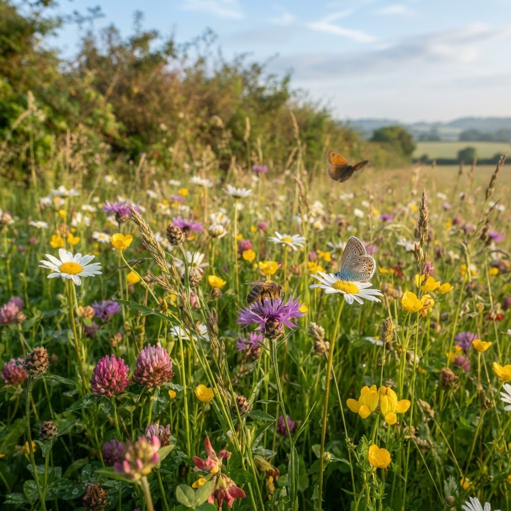
What are Priority Habitats?
Priority Habitats are habitats of principal importance for biodiversity conservation in England, listed under Section 41 of the Natural Environment and Rural Communities (NERC) Act 2006. These 56 habitat types represent the UK's most threatened and declining habitats requiring conservation action and planning protection.
Priority Habitats include terrestrial habitats (ancient woodland, lowland meadows, chalk grassland), freshwater habitats (rivers, ponds, reedbeds), and coastal habitats (saltmarsh, sand dunes, mudflats). Together they form the backbone of England's biodiversity conservation framework.
The Section 41 Biodiversity Duty
Section 41 of the NERC Act places a legal duty on public authorities to have regard to the conservation of biodiversity in exercising their functions. This includes:
- Local Planning Authorities determining planning applications
- Highways authorities designing roads and infrastructure
- Environment Agency regulating pollution and water resources
- Public bodies managing land and assets
The biodiversity duty means planning decisions must consider impacts on priority habitats and species, seeking to avoid net loss and deliver enhancement where possible.
Commonly Encountered Priority Habitats
Lowland Meadows
Lowland meadows are species-rich grasslands traditionally managed by hay cutting and grazing. Once widespread, 97% have been lost since the 1930s through agricultural intensification. Remaining meadows support diverse wildflowers including yellow rattle, oxeye daisy, and meadow buttercup.
Development affecting lowland meadows requires botanical surveys identifying priority habitat status. Mitigation typically requires translocation of turves (cutting and relocating meadow vegetation and topsoil), receptor site creation, and long-term management.
Hedgerows
Species-rich hedgerows and ancient hedgerows are priority habitats providing wildlife corridors, nesting sites, and food sources. England has approximately 450,000km of hedgerows, though many are species-poor remnants.
Hedgerows are also protected under the Hedgerows Regulations 1997 where they are "important" due to age (pre-1850), wildlife value, or historical association. Removing important hedgerows requires Local Planning Authority permission.
Development affecting hedgerows should retain and protect them where possible. Where removal is unavoidable, compensatory hedgerow planting at minimum 2:1 ratios (2m planted for every 1m removed) is typically required.
Ponds and Water Bodies
Ponds (defined as water bodies under 2 hectares) are priority habitats when they support rich aquatic communities. England has lost approximately 75% of ponds since 1900 through infilling, neglect, or pollution.
Great crested newts (fully protected species) frequently occur in pond networks. Development affecting ponds requires:
- Aquatic surveys identifying habitat quality and protected species
- 250m survey area around development sites (great crested newt terrestrial habitat)
- Avoidance of direct pond loss where possible
- Compensation ponds where loss is unavoidable (minimum 2:1 area ratio)
- District-level licensing schemes for great crested newts
Coastal and Floodplain Grazing Marsh
Coastal grazing marsh and floodplain grazing marsh are seasonally flooded grasslands supporting breeding wading birds and wintering wildfowl. Concentrated in areas like the Somerset Levels, Thames Estuary, and Norfolk Broads.
Development affecting grazing marsh faces strict controls due to:
- Hydrological sensitivity (drainage changes affect entire systems)
- Breeding bird populations (qualifying features for SAC/SPA designations)
- Carbon storage in peat soils underlying many marshes
Biodiversity Net Gain Requirements
From February 2024, Biodiversity Net Gain (BNG) is mandatory for most development in England. Development must deliver at least 10% biodiversity net gain measured using the statutory biodiversity metric.
How BNG is Calculated
The Defra biodiversity metric 4.0 calculates habitat value based on:
- Habitat type - Broad habitat (grassland, woodland, wetland) and specific priority habitat classification
- Habitat distinctiveness - Ecological value (very high for priority habitats, high for semi-natural habitats, medium for modified habitats, low for intensive agriculture)
- Habitat condition - Quality assessment using condition criteria (good, moderate, poor)
- Strategic significance - Location within local nature recovery strategies or ecological networks
- Connectivity - Proximity to other habitats enhancing wildlife movement
Habitat units are calculated as: Area × Distinctiveness × Condition × Strategic Significance × Connectivity. Post-development units must be 110% of pre-development units.
Delivering Biodiversity Net Gain
BNG can be delivered through:
On-site habitat creation - Creating or enhancing habitats within development sites. Examples include:
- Wildflower meadow creation in amenity green space
- Native hedgerow and tree planting
- Pond creation and wetland restoration
- Green/brown roofs on buildings
- Bat and bird boxes providing nesting opportunities
Off-site habitat provision - Purchasing biodiversity units from habitat creation schemes elsewhere. Biodiversity unit costs vary regionally (£15,000-£45,000 per unit typically) depending on habitat type and local market.
Statutory biodiversity credits - Last resort option purchasing government-supplied credits. Extremely expensive (£42,000-£650,000 per unit) to discourage use except where genuinely no alternatives exist.
BNG Exemptions
Some development types are exempt from mandatory BNG:
- Self-build and custom-build housing (single dwellings)
- Householder applications (extensions, outbuildings to existing homes)
- Brownfield sites meeting defined conditions
- Temporary permissions (development permitted for limited periods)
- Permitted development (where no planning application required)
Small sites (fewer than 10 dwellings or under 0.5 hectares) have simplified BNG requirements since April 2024.
Habitat Surveys and Ecological Impact Assessment
Planning applications require ecological surveys to inform biodiversity metric calculations and identify protected species:
Phase 1 Habitat Survey
Standardized survey classifying habitats across the site using defined categories:
- Woodland and scrub
- Grassland and marsh
- Tall herb and fern
- Heathland
- Standing and running water
- Rock exposure and waste
- Built-up areas and gardens
Phase 1 surveys cost £1,500-£5,000 depending on site size and complexity. Survey timing is important - grassland surveys require botanical identification during flowering season (May-August).
Protected Species Surveys
Where priority habitats or suitable habitat for protected species exist, targeted surveys are needed:
- Bat surveys - Activity surveys, emergence/re-entry surveys, roost assessments (May-September)
- Great crested newt surveys - Torch surveys, bottle trapping, eDNA testing (March-June)
- Breeding bird surveys - Territory mapping visits for breeding birds (April-July)
- Badger surveys - Sett surveys and activity surveys (year-round)
- Reptile surveys - Artificial refuge surveys for grass snake, slow worm, common lizard (April-September)
Budget £2,000-£8,000 per species group for comprehensive surveys. Multiple survey seasons may be required causing 6-12 month delays.
Mitigation Hierarchy
Planning policy and BNG legislation require following the mitigation hierarchy:
- Avoidance - Redesign development to avoid habitat loss (preferred option)
- Minimization - Where avoidance impossible, minimize impacts through design refinement
- Remediation - On-site measures reducing harm (phased clearance, habitat translocation)
- Compensation - Off-site habitat creation compensating for unavoidable losses
The mitigation hierarchy prevents developers using compensation as easy solution - genuine attempts at avoidance and minimization must be demonstrated first.
Long-Term Habitat Management
BNG habitats must be secured for minimum 30 years through:
- Section 106 obligations - Legal agreements binding land requiring habitat management
- Conservation covenants - New legal mechanism for securing conservation obligations
- Management plans - Detailed prescriptions for habitat creation and long-term management
- Financial contributions - Commuted sums funding 30+ years management
Typical management costs range from £500-£3,000 per hectare annually depending on habitat type. Capitalize this over 30 years at appropriate discount rates to calculate financial contributions.
Check priority habitat locations using our environmental designations mapbefore purchasing development sites. Early habitat surveys prevent costly delays and scheme redesigns.