
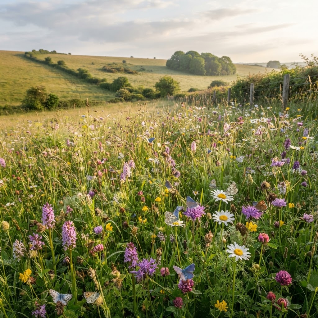
What is a Site of Special Scientific Interest (SSSI)?
Sites of Special Scientific Interest are the UK's most important sites for wildlife and geology, legally protected under the Wildlife and Countryside Act 1981. England has over 4,100 SSSIs covering approximately 7% of the country's land area.
SSSIs are designated by Natural England for their flora, fauna, geological features, or physiographical features. They form the backbone of the UK's nature conservation framework and often underpin other international designations like Special Areas of Conservation (SACs) and Special Protection Areas (SPAs).
Why Are SSSIs Designated?
SSSIs are notified for representing the best examples of the UK's natural heritage. Reasons for designation include:
- Rare species - Habitat for threatened or scarce plants, animals, birds, or insects
- Habitat types - High-quality examples of priority habitats like ancient woodland, lowland meadows, chalk grassland, heathland, wetlands, or coastal habitats
- Geological features - Important rock exposures, fossil sites, landforms, or geological processes visible
- Assemblages - Particularly rich or diverse ecological communities
Each SSSI has a citation describing why it was designated and listing the special features of interest. View SSSI citations and boundaries using our free environmental designations map.
SSSI Impact Risk Zones
SSSI Impact Risk Zones (IRZs) are a planning tool developed by Natural England to assess the potential impacts of development on SSSIs. IRZs cover all of England and extend beyond SSSI boundaries.
IRZs identify types of development that may affect nearby SSSIs. Different zones apply for different development types:
- Residential development zones - Trigger distances for housing (typically 500m-5km depending on SSSI sensitivity)
- Industrial/commercial zones - Areas where employment uses require consultation
- Rural non-residential zones - Agricultural buildings, equestrian development, rural businesses
- Infrastructure zones - Pipelines, roads, utilities potentially affecting SSSIs
- Minerals and waste zones - Quarries, landfills, waste facilities with potential hydrological or air quality impacts
If development falls within an IRZ for its type, Natural England must be consulted on the planning application. This consultation is automatic - Local Planning Authorities send plans to Natural England when IRZs are triggered.
What Happens When Natural England is Consulted?
Natural England reviews proposals and provides advice within 21 days (statutory consultee). Possible responses include:
- No objection - Development unlikely to affect SSSI, no conditions required
- No objection subject to conditions - Development acceptable with mitigation measures secured by planning conditions
- Objection - Development likely to damage SSSI features. LPA can approve against objection but must provide clear justification
Objections from Natural England are uncommon but serious. Planning Inspectors give substantial weight to Natural England objections on appeal.
Development Affecting SSSIs
Planning policy (NPPF paragraph 180) states development on land within or outside an SSSI likely to have an adverse effect should not normally be permitted. Exceptions should be made only where:
- The benefits of development clearly outweigh both its impacts on the special features and any broader impacts on the national network of SSSIs
This is a high test to overcome. Developers must demonstrate the development cannot reasonably be located elsewhere, significant public benefits arise, and mitigation reduces harm to acceptable levels.
Common SSSI Impacts from Development
Development near SSSIs can affect them in multiple ways:
Hydrological impacts - Changes to groundwater or surface water affecting wetland SSSIs. Drainage, foundations, or surface water discharge can dry out or pollute wetlands. Hydrological impact assessments are usually required.
Air quality impacts - Traffic generation increasing nitrogen deposition or air pollutants affecting sensitive habitats. Natural England requires air quality assessments for residential developments exceeding screening thresholds near heathland, bog, or acid grassland SSSIs.
Recreational pressure - Housing bringing more visitors to sensitive sites can cause trampling, erosion, or disturbance to wildlife. Larger developments may require Suitable Alternative Natural Greenspace (SANG) to divert recreational pressure.
Lighting and noise - Light spill or noise affecting bat roosts, bird breeding sites, or nocturnal species. Lighting assessments and restrictions on timing of works are common requirements.
Cat predation - New housing near bird SSSIs can increase predation pressure from domestic cats. Natural England may object to housing within 400m of important bird breeding sites.
Special Areas of Conservation (SAC) and Special Protection Areas (SPA)
SACs and SPAs are European designated sites (now incorporated into UK law post-Brexit) protecting habitats and bird populations of international importance. Together with Ramsar wetlands, they form the National Site Network.
SACs protect rare habitat types and species listed in the Habitats Directive, while SPAs protect rare and vulnerable bird populations. The UK has 256 SACs and 88 SPAs on land in England.
Habitats Regulations Assessment (HRA)
Development that may affect SACs, SPAs, or Ramsar sites requires Habitats Regulations Assessment. This is a statutory process with strict tests:
- Screening - Is there a likely significant effect on the protected site? If yes, proceed to stage 2.
- Appropriate Assessment - Detailed assessment of impacts on site integrity considering conservation objectives. Natural England must be consulted.
- Assessment of alternatives - If adverse effects on integrity are found, demonstrate no alternative solutions exist.
- IROPI test - If no alternatives, prove Imperative Reasons of Overriding Public Interest and secure compensatory measures.
The IROPI test is extremely difficult to pass. Projects including major road schemes have been refused on HRA grounds. Development affecting European sites faces intense scrutiny.
Nutrient Neutrality Requirements
In catchments draining to protected wetlands (particularly the Somerset Levels, Solent, and parts of the Midlands), development must achieve nutrient neutrality - demonstrating no net increase in nitrogen or phosphorus entering protected waterbodies.
This affects all residential development (each house generates wastewater containing nutrients). Developers must calculate nutrient budgets and deliver mitigation, typically through:
- Purchasing nutrient credits from mitigation schemes
- Creating wetlands to intercept nutrients
- Converting agricultural land to woodland (reducing fertilizer inputs)
- Upgrading wastewater treatment works
Nutrient neutrality adds significant cost (£20,000-£50,000 per dwelling) and delays to developments. Check if your site is in a nutrient neutrality catchment using our environmental constraints checker.
Ancient Woodland Protection
Ancient woodland is land that has been continuously wooded since at least 1600 AD (1750 in Scotland). England has approximately 525,000 hectares of ancient woodland (2.5% of land area), though much has been replanted with non-native species.
Ancient woodland is an irreplaceable habitat protected by NPPF paragraph 180c: "Development resulting in the loss or deterioration of irreplaceable habitats (including ancient woodland and ancient or veteran trees) should be refused, unless there are wholly exceptional reasons and a suitable compensation strategy exists."
"Wholly exceptional reasons" is an extremely high bar. Infrastructure projects of national importance (HS2, major roads) have been permitted through ancient woodland, but commercial or residential development will almost certainly be refused.
Ancient Woodland Buffer Zones
Natural England recommends a minimum 15-metre buffer zone between development and ancient woodland to protect root systems, prevent edge effects, and maintain woodland character. Larger buffers (50m+) may be required for particularly sensitive sites.
Buffers must be semi-natural habitat (not gardens, parking, or amenity grassland) and protect ancient woodland from:
- Dust, noise, and pollutants during construction
- Changes to hydrology (drainage, surface water runoff)
- Recreational pressure and disturbance
- Domestic cat predation (for woodland supporting bird populations)
- Light spill affecting nocturnal species
View ancient woodland locations using our ancient woodland map showing both ancient semi-natural woodland (original native species) and plantations on ancient woodland sites (PAWS - replanted but retaining ancient characteristics).
Priority Habitats and Local Wildlife Sites
Priority Habitats (formerly BAP habitats) are habitats of principal importance for biodiversity conservation in England under Section 41 of the Natural Environment and Rural Communities (NERC) Act 2006.
The priority habitats list includes 56 habitat types from lowland meadows and coastal saltmarsh to veteran trees and hedgerows. Planning policy requires their protection and enhancement where possible.
Local Wildlife Sites (LWS), also called Sites of Importance for Nature Conservation (SINCs) or County Wildlife Sites, are non-statutory designations identifying locally important habitats. While not legally protected like SSSIs, Local Plans typically protect LWS from damaging development.
Biodiversity Net Gain Requirements
From February 2024, all new development in England (with limited exceptions) must deliver at least 10% Biodiversity Net Gain(BNG). This means habitat after development must be 10% higher value than before, measured using the Defra biodiversity metric.
BNG can be delivered:
- On-site - Creating, enhancing, or restoring habitats within the development site
- Off-site - Purchasing biodiversity units from off-site habitat creation schemes
- Statutory credits - Last resort option purchasing government credits (expensive - £42,000-£650,000 per unit)
BNG must be secured for 30 years minimum. For sites affecting priority habitats or SSSIs, achieving 10% net gain is challenging and expensive. Ecological surveys and metric calculations add £5,000-£25,000 to development costs.