
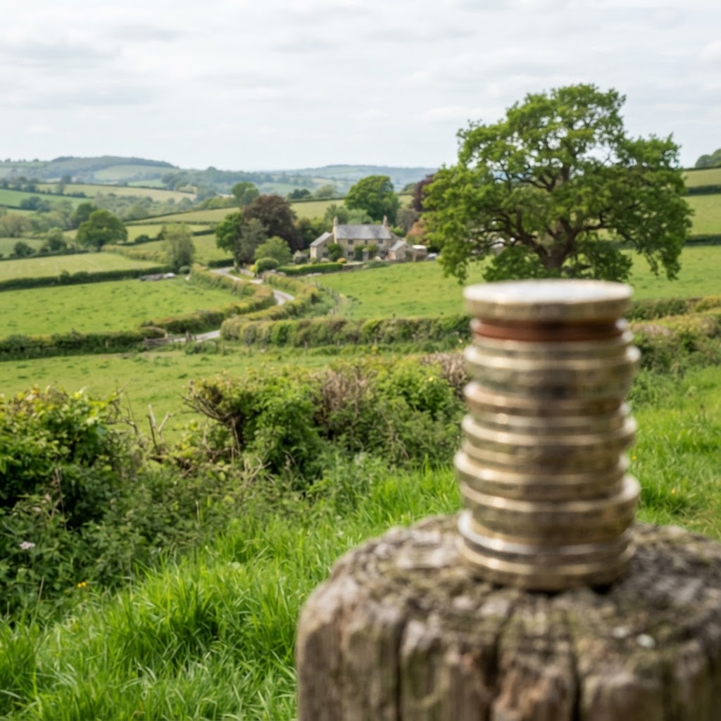
How Planning Constraints Affect Land and Property Value
Planning constraints are one of the most significant determinants of land value in England. A single designation — Green Belt, Flood Zone 3, SSSI — can transform a potentially valuable development site into land worth barely more than its agricultural value. Understanding this relationship is essential for buyers, investors, valuers, and landowners.
Why Constraints Matter So Much
The value of land for development derives almost entirely from the planning permission it carries or the prospect of obtaining one. In England, land with residential planning permission can be worth 50–200 times its agricultural value. Constraints either reduce the probability of obtaining permission, restrict the quantum of development permitted, or add costs that reduce the residual land value — sometimes to zero.
How Each Constraint Type Affects Land Value
Green Belt — High Impact
Green Belt designation reduces development potential to essentially nil in most cases. Agricultural land adjacent to Green Belt boundaries may trade at premiums above pure agricultural value due to "hope value" — but investors should be extremely cautious. The reformed NPPF (2024) introduces Grey Belt for lower-quality Green Belt land, which may create some uplift for eligible sites near settlement edges. Check Green Belt status with our free map.
Flood Zones 2 and 3 — Moderate to Very High Impact
Flood Zone 2 land can still be developed with mitigation, though additional costs (Flood Risk Assessments, raised floors, SuDS) reduce residual value. Zone 3a land is very difficult to develop for residential use without passing the Sequential and Exception Tests — significantly impairing value. Zone 3b (functional floodplain) effectively prevents residential or commercial development, reducing land to near-agricultural value. Check flood risk with our flood maps.
SSSI and Ecological Designations — Variable, Potentially Severe
SSSIs can be development showstoppers. However, the impact depends on the specific features and sensitivity. A site with a minor SSSI designation adjacent but not encompassing the developable area may have limited impact. A site within or directly adjacent to a high-quality SSSI is very unlikely to gain permission, with severe value impact. Check with our environmental designations map.
Conservation Areas — Moderate Impact
Conservation Area designation doesn't prevent development but imposes design requirements, reduces permitted development rights, and restricts demolition. Good design that enhances or preserves the character of the area can still achieve planning permission. Impact on land value is typically moderate — more a cost than a prohibition.
Listed Buildings — Variable Impact
A listed building on a development site complicates matters significantly. The building must be retained, and its setting must be considered. However, some of the UK's most valuable development opportunities involve listed buildings — conversion projects, enabling development, and restoration can all generate significant value. Impact depends on the grade, condition, and potential for enabling development.
Tree Preservation Orders — Low to Moderate Impact
TPOs restrict tree removal or significant works without LPA consent. In development terms, they affect layout and design, potentially reducing developable area or requiring expensive tree root investigations. Impact on overall land value is typically low unless trees are numerous or cover prime development areas. Check with our TPO map.
Ancient Woodland — Very High Impact
Ancient Woodland (land continuously wooded since 1600) is treated as irreplaceable by the NPPF. Development that results in its loss or deterioration should be refused unless wholly exceptional reasons justify it. Ancient Woodland on or adjacent to a site can effectively sterilise development even for land otherwise in a positive planning context.
Contaminated Land — Variable Impact
Former industrial land, landfill sites, and chemically contaminated land require remediation before residential development. Remediation costs range from tens of thousands to millions per hectare depending on the nature of contamination. Viability impact depends entirely on the gap between remediation cost and residual land value — many former brownfield sites are viable post-remediation.
Radon — Low Impact
Radon is a technical constraint with a known cost. Protective measures add approximately £1,000–£3,000 per dwelling — a minor cost at the scale of new development. Radon alone should not materially affect land value for a development scheme. Check radon risk with our radon map.
The Cumulative Effect of Multiple Constraints
The most dangerous scenario for land investors is the combination of multiple constraints. A site that is marginally in Flood Zone 2, marginally in a Conservation Area, contains some protected trees, and has moderate archaeological potential may appear manageable for each individual constraint — but the combination significantly increases risk, cost, and the probability of refusal. Always use our site identification tool to view all constraints simultaneously.
Constraint Mapping as Part of Valuation
Professional land appraisals and valuations should always include a constraints schedule identifying every designation affecting a site and its impact on:
- Probability of achieving planning permission
- Developable area (net vs gross site area)
- Development quantum (units or floorspace achievable)
- Additional costs (FRA, ecology mitigation, heritage assessment)
- Development programme (additional time for technical studies)
Free Constraint Checking Tools
Before commissioning any professional appraisal, use these free resources:
- Maplify Site Identification Tool — instant constraint check for any postcode
- Maplify Interactive Map Viewer — layer multiple constraints on a detailed map
- Flood Risk Checker — Environment Agency flood zone check
- Green Belt Map — check Green Belt boundaries
- Your LPA's Policies Map — check Local Plan designations
Frequently Asked Questions
Can flood risk stop planning permission?
Yes. In Flood Zone 3, residential development requires passing the Sequential Test and Exception Test, which in many cases cannot be achieved. Zone 3b effectively prevents conventional development. See our flood risk guide.
Does being in a Conservation Area make land worthless for development?
No. Conservation Area designation adds design requirements and reduces permitted development but doesn't prevent development. Well-designed schemes that enhance or preserve character regularly gain permission in Conservation Areas.
What constraints have the biggest impact on land value?
Green Belt, Flood Zone 3b, SSSIs, and Ancient Woodland tend to have the most severe impacts — often completely eliminating development potential. Constraints such as TPOs, Conservation Areas, and Radon typically have manageable cost impacts rather than absolute prohibitions.