
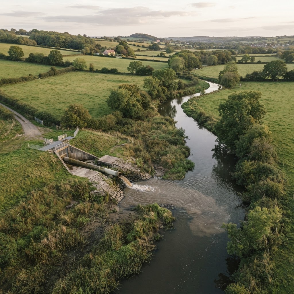
What Are Storm Overflows?
Storm overflows — sometimes called combined sewer overflows (CSOs) — are relief valves built into the UK's sewer network. When heavy rainfall overwhelms the combined sewer system, these overflows discharge diluted storm water and untreated sewage into rivers, estuaries and the sea to prevent waste backing up into homes and streets.
England has roughly 15,000 storm overflow assets operated by water companies under permits issued by the Environment Agency. Each is designed to operate only during "exceptional rainfall", but Event Duration Monitoring (EDM) data shows many spill far more frequently than their permit allows.
Combined sewers vs separate sewers
In a combined system, foul sewage from homes and businesses and surface-water run-off share the same pipe. Heavy rain can fill the pipe beyond capacity, triggering a discharge. In contrast, separate surface-water sewers carry only rain run-off and should ideally never need to spill.
Why Storm Overflow Data Matters for Property Buyers
For solicitors, surveyors and developer teams, EDM storm overflow data is now a recognised piece of due diligence — alongside flood risk, contaminated land and water quality searches. Frequent nearby spills can signal:
- Reputational and amenity risk for waterfront or riverside schemes close to popular recreation areas.
- Construction delays — works near a discharge point can trigger strict environmental permit conditions and Extra-Works-Agreements with the water company.
- Future regulation — under the Storm Overflows Discharge Reduction Plan, water companies must improve all overflows by 2035 and eliminate ecological harm by 2050.
The 2025 EDM dataset
Under the Environment Agency's Event Duration Monitoring (EDM) programme, every licensed storm overflow in England and Wales is fitted with a sensor reporting total spill hours and spill counts. The EDM 2025 dataset is published annually as open data and is the freshest national snapshot of CSO activity.
How to Check Storm Overflow Locations
The fastest way to identify discharge points near a site is via the Maplify storm overflows map layer, which plots the official 2025 EDM dataset.
- Open the Map Viewer and toggle on the Storm Overflows (CSO) layer.
- Locate the postcode or centroid of the site under review.
- Hover a discharge point to read spill count and duration for the latest monitoring year.
- Cross-reference distance and downstream flow with the surface water flood map to understand conditions that trigger spills.
What the Data Means for Developers
For land assembly, planning promoters and infrastructure teams, frequent nearby discharges can be a material consideration in a planning application. The Environment Agency is a statutory consultee on water quality and may request:
- Betterment of the overflow as part of a S106 obligation.
- Source-control SuDS attenuation to reduce stormwater entering the combined network.
- Water-quality impact assessments for development discharging to a sensitive watercourse.
Tip: Combine the storm overflow layer with the sewage treatment works and water quality monitoring layers to understand the wider sewerage infrastructure context for your site.
Frequently Asked Questions
Are storm overflows illegal?
No, but they are heavily regulated. Permits define when each overflow may operate. Discharges outside permit conditions are illegal and the water company may face enforcement action by the Environment Agency.
How often do storm overflows discharge?
The 2025 EDM dataset shows enormous variation. Some overflows spill fewer than 10 hours per year; others with under-sized treatment capacity spill for 200+ hours. The site-level number is what to check.
Do I need to disclose storm overflow data in a property transaction?
Standard conveyancing searches include water and drainage enquiries (CON29DW), but these do not always quantify spill frequency. Using Maplify's interactive layer gets you in front of the data before you instruct a surveyor.
Key Takeaway
Storm overflow data has moved from an environmental concern into mainstream property due diligence. The 2025 EDM dataset now makes it possible to screen every site in seconds — before you commit legal fees, surveys or a deposit. Layer it with flood, water quality and treatment-works data for a complete water infrastructure picture.