

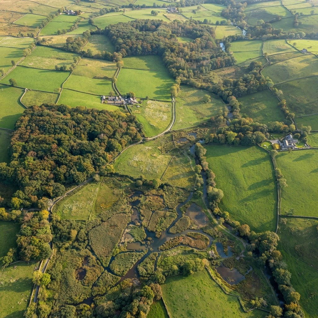
What Is the Living England Habitat Map?
The Living England project, led by Natural England, uses satellite imagery and machine learning to produce a national-scale, high-resolution habitat map of England. The Phase 4 release (2024) maps over 25 broad habitat types at a 10m spatial resolution.
For planning consultants, ecologists and developer teams, Living England is rapidly becoming the default first-pass habitat check before commissioning a site-specific Phase 1 survey.
What habitats does it identify?
Living England classifies land into broad habitat categories including:
- Woodland (broadleaved, conifer, mixed, scrub)
- Semi-natural grassland (acid, calcareous, neutral)
- Arable and improved grassland
- Heathland (lowland and upland)
- Wetland (fen, marsh, swamp, bog)
- Coastal (saltmarsh, sand dune, mudflat, shingle)
- Urban and built-up
Why Living England Matters for Planning
Since Biodiversity Net Gain became mandatory for most development in February 2024, ecological baseline assessment is now a baseline requirement for the majority of planning applications. Living England gives you an instant pre-survey picture of likely baseline habitats at site level, so you can:
- Scope the right specialist surveys before instructing ecologists.
- Forecast likely BNG metric scores and budget scheme-level BNG costs before site purchase.
- Identify irreplaceable habitats — ancient woodland, blanket bog, lowland fen — early, where compensation for loss is not acceptable under national planning policy.
UK Habitat Classification alignment
The Phase 4 release aligns Living England to the UK Habitat Classification (UKHab) — the same classification used by the statutory biodiversity metric 4.0. This means first-pass BNG scoring is now much faster, because like-for-like habitat units can be estimated in minutes.
How to Access the Living England Data
Use the Maplify environmental designations layer in the map viewer, where the Living England habitat map can be toggled on alongside:
Accuracy note: Living England is a predictive model — it estimates habitat type from satellite signatures and environmental data. It is not a substitute for a Phase 1 habitat survey. For any planning application, undertake a ground-truth survey commissioned from a qualified ecologist.
Frequently Asked Questions
How accurate is the Living England map?
Natural England benchmarks the Phase 4 model at over 80% accuracy for broad habitat classes, with confidence lower for fine distinctions (e.g. distinguishing acid from calcareous grassland without field survey).
Can I use Living England in a planning application?
Only as a scoping and baseline reference. A planning application supporting BNG needs site-specific ecological survey by a qualified ecologist — Living England cannot replace that.
When was the Phase 4 data released?
Phase 4 was published in 2024, with classification based on the latest available satellite imagery and ground-truthing in priority landscapes.
Key Takeaway
Living England Phase 4 turns what used to be a six-week ecology scoping exercise into a five-minute desktop screen. Used correctly — alongside Priority Habitats, Ancient Woodland and SSSI layers — it lets developer teams quickly triage parcels for biodiversity risk before paying for surveys or making an offer.