
What Is Radon and Why Does It Matter For Property?
Radon is a naturally occurring radioactive gas that forms from the decay of uranium in rocks and soil. It seeps up through the ground into buildings — particularly through floors, foundation cracks, and service pipe entries. In sufficient concentrations, radon is the second largest cause of lung cancer in the UK after smoking, responsible for around 1,100 deaths per year.
Checking radon risk is an important step in property due diligence, particularly in certain parts of England. This guide explains how to check radon risk for any UK property, what the results mean, and what action to take.
How To Check Radon Risk For Any UK Property
Method 1 — Use Maplify's Free Radon Risk Map
Our free radon risk map shows radon-affected areas across England and Wales using data from UK Health Security Agency (UKHSA). Enter any postcode to see whether the property falls in a radon-affected area and the estimated percentage of homes likely to exceed the Action Level.
Method 2 — UKHSA Radon Map and Checker
The UK Health Security Agency (formerly Public Health England) provides an official radon map and postcode checker. You can obtain a basic report for free or purchase a detailed radon report showing the estimated radon potential at a specific address.
Method 3 — Radon Measurement Test
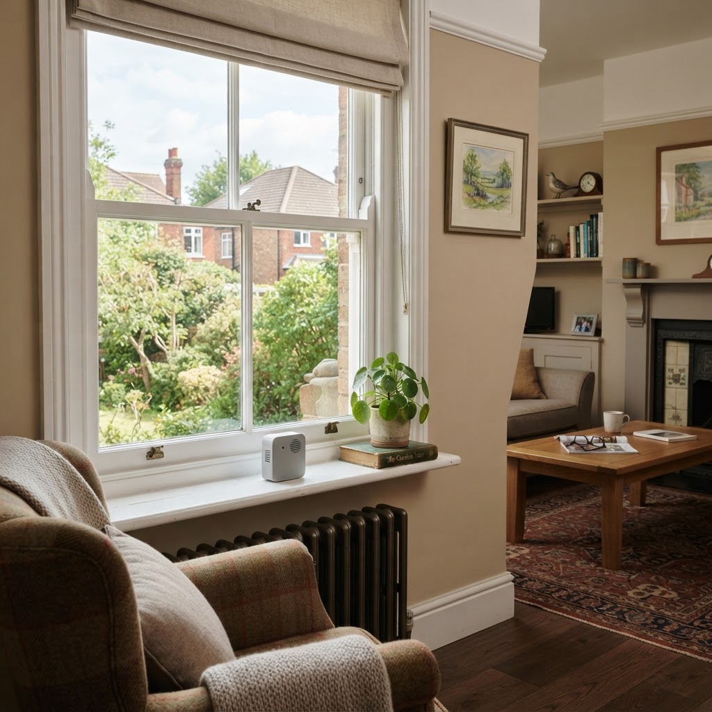
The only definitive way to know radon levels in a specific property is to conduct a measurement test. Radon test kits (alpha-track detectors) can be purchased from UKHSA or accredited suppliers for around £30–£50. Tests should run for at least three months to account for seasonal variation.
Method 4 — Environmental Search (Conveyancing)
Professional environmental searches obtained during conveyancing include radon risk data as standard. Providers such as Groundsure and Landmark include radon risk ratings alongside flood, contamination, and ground stability data.
Radon Affected Areas in England
Radon risk varies dramatically by geology. The highest-risk areas in England are:
- Cornwall and Devon — highest radon potential in England, particularly over granite rocks
- Somerset, Derbyshire, and parts of Yorkshire — elevated risk over limestone and carboniferous geology
- Northamptonshire and Lincolnshire — moderate risk areas over certain rock types
- Parts of Oxfordshire, Gloucestershire, and the Cotswolds
Check our radon map to see risk levels in your specific area.
Radon Levels — What Do the Numbers Mean?
Radon is measured in Becquerels per cubic metre (Bq/m³):
- Below 100 Bq/m³ — typical indoor radon level, no action required
- 100–300 Bq/m³ — elevated, remediation recommended. The UK reference level (threshold for recommended action) is 200 Bq/m³.
- Above 300 Bq/m³ — significantly elevated, remediation strongly recommended
- UK Action Level: 200 Bq/m³ — the UKHSA recommends bringing all properties above this level down below 100 Bq/m³ where possible
Is Radon Dangerous In Homes?
Yes, at elevated concentrations, radon poses a real health risk. However, the risk is cumulative over years of exposure and can be significantly reduced by simple remediation measures. The UK Government recommends testing if you live in a radon-affected area and remediating if levels are at or above the Action Level of 200 Bq/m³.
The risk is higher for smokers — radon exposure combined with smoking significantly increases lung cancer risk compared to either factor alone.
Radon and Mortgages — Does It Affect Lending?
Generally, radon risk alone does not prevent a mortgage from being granted. However:
- Some lenders in high-risk areas request evidence that radon protection measures are in place for new builds
- Environmental searches revealing very high radon potential may require a specialist report before the lender proceeds
- Undisclosed high radon levels discovered after purchase could affect insurance or future resale
Building Regulations and Radon Protection
Building Regulations (Approved Document C) require radon protective measures in new buildings in radon-affected areas. The requirements depend on the radon potential:
- Full protective measures — required where more than 3% of homes likely to be above the Action Level
- Basic protective measures — required where 1–3% of homes likely to be above Action Level
Standard protection includes a radon membrane under ground floors and, in higher-risk areas, a sump system that can be activated if testing shows elevated levels.
How To Reduce Radon In An Existing Property
If a radon test reveals levels at or above the Action Level, several remediation options are available:
- Positive pressurisation — a fan unit creates positive pressure in the property, preventing radon entry. Costs around £500–£800.
- Sub-slab depressurisation (radon sump) — a pipe and fan beneath the floor slab draws radon away before it enters. Most effective solution, costs £500–£2,500.
- Improved underfloor ventilation — increasing ventilation in suspended timber floor voids can reduce radon levels.
- Sealing floor cracks — filling cracks and gaps in concrete floors and around service entries reduces radon ingress.
Radon Searches in Conveyancing
Solicitors should include radon risk in the environmental search obtained during conveyancing, particularly for properties in:
- Any part of Cornwall, Devon, or Somerset
- Derbyshire, parts of Yorkshire, and Northamptonshire
- Any area where the radon potential map shows elevated risk
Sellers are also required under the Law Society's Protocol to disclose any known radon test results. If the seller has previous test results above the Action Level, they should be disclosed and any remediation works confirmed.
Frequently Asked Questions
How do I check radon risk by postcode?
Use Maplify's free radon risk map or the UKHSA's official radon checker. Both provide risk assessments by postcode.
Is radon a problem when buying a house?
In affected areas, yes. We recommend commissioning a radon test if the property is in a higher-risk area. The test kit costs around £30–£50 and gives you peace of mind. If levels are elevated, remediation typically costs £500–£2,500.
What level of radon is dangerous?
The UK Action Level is 200 Bq/m³. Above this level, remediation is strongly recommended. Any level is associated with some increased risk, but significant risks are associated with long-term exposure above the Action Level.