
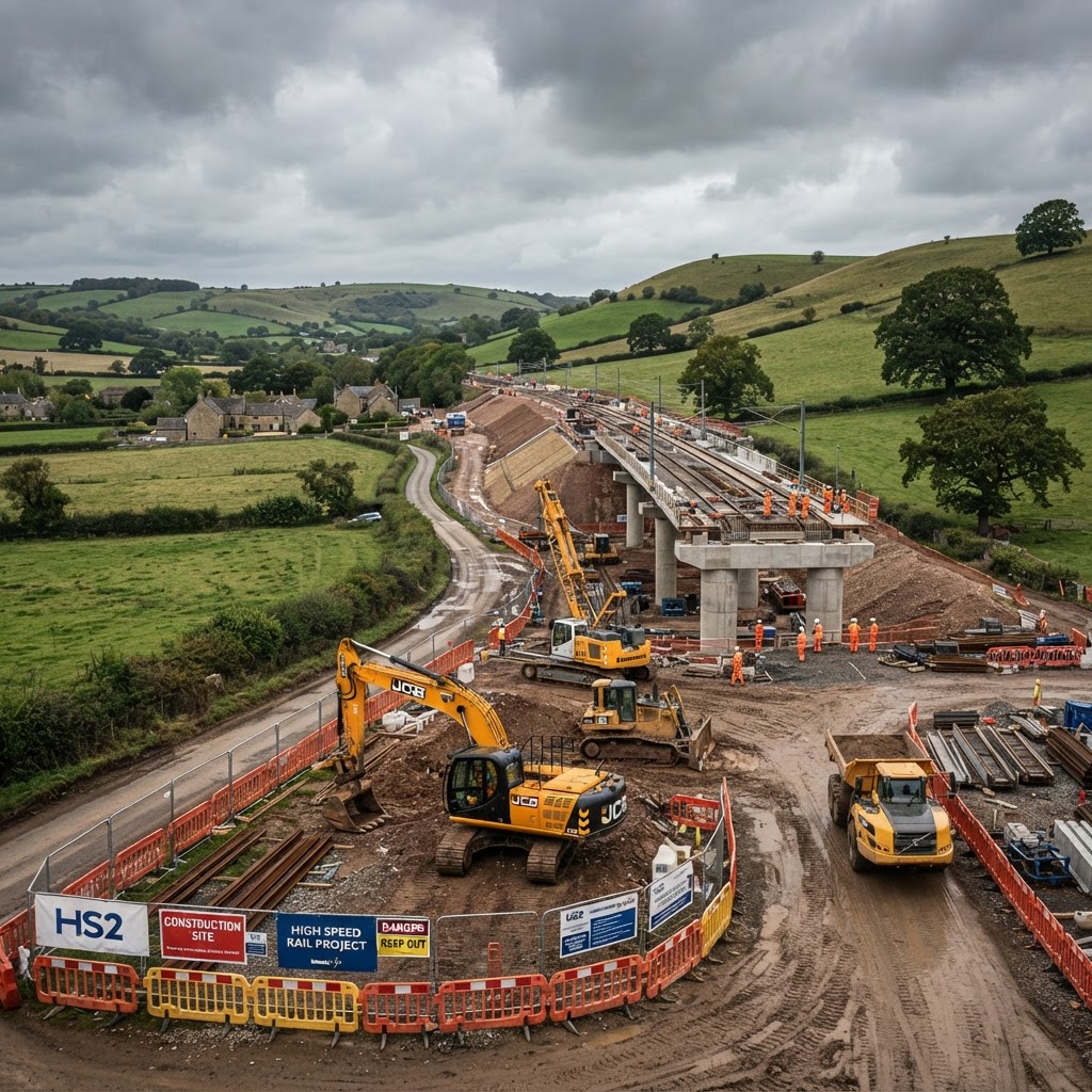
What Is HS2 Safeguarded Land?
Safeguarding is a planning mechanism used to protect the route of a major infrastructure project — in this case HS2 — from conflicting development before construction begins or land is formally acquired. Land within a safeguarded corridor is subject to planning restrictions and, in defined circumstances, the landowner has a statutory right to require the relevant authority to purchase their interest early.
For property owners, developers, and land buyers, understanding whether a site sits within an HS2 safeguarding direction — and what phase of the project affects it — is essential before committing to a purchase or scheme.
"Safeguarding doesn't necessarily mean a compulsory purchase is coming for every affected property — but it does mean the planning system will treat new development on that land very differently until the position is resolved." — common guidance given by chartered surveyors specialising in infrastructure blight
How Safeguarding Affects Planning Applications
Local Planning Authorities are required to consult HS2 Ltd (or its successor delivery body) on any planning application within the safeguarded area. In practice, this means:
- Applications may be delayed pending the consultation response
- Permission may be refused or granted only with conditions protecting the ability to deliver the rail scheme
- Temporary or reversible uses are viewed far more favourably than substantial new permanent buildings
- Extensions and alterations to existing buildings are generally treated differently to new-build proposals, but still require careful assessment
Step-by-Step: Checking If Your Site Is Affected
Step 1 — Check the Safeguarding Layer on the Map
Use Maplify's HS2 safeguarded land layer to check whether a specific address or parcel falls within a current safeguarding direction. Safeguarding boundaries have been refined and, in some sections, lifted as construction has progressed or route decisions have changed — always check the current position rather than relying on historic route maps.
Step 2 — Identify Which Phase Applies
HS2 has been delivered and reviewed in phases, with route decisions, cancellations and safeguarding directions varying by section and by government since the project began. Confirm which phase (or whether a phase has since been cancelled) applies to your location, since safeguarding for a cancelled phase may since have been lifted or is in the process of being reviewed.
Step 3 — Cross-Check Wider Transport Infrastructure Constraints
Beyond HS2 itself, review Maplify's broader transport infrastructure map for other rail, road and utility corridors that could compound constraints on the same site — multiple safeguarding directions occasionally overlap in complex ways near existing rail corridors.
Step 4 — Review Planning History for HS2-Related Refusals or Conditions
Search the Local Planning Authority's planning portal for previous applications on or near the site. A refusal citing HS2 safeguarding, or a permission granted subject to conditions requiring reinstatement or removal on notice, is a strong signal of an active constraint that a simple map check might not fully convey.
Step 5 — Understand Compensation and Purchase Rights
Landowners significantly affected by safeguarding may, in certain circumstances, be entitled to require the delivery body to purchase their property under statutory blight provisions, or claim compensation once the scheme is confirmed and land is affected by construction or operation. These rights are technical and time-limited — anyone materially affected should take specialist advice from a surveyor experienced in compulsory purchase and compensation (CPO) work.
Impact on Property Value and Mortgageability
Safeguarding — and the wider uncertainty around a nearby infrastructure project — can affect both marketability and lender appetite, even where a formal compensation right hasn't yet crystallised. Some mortgage lenders will ask direct questions about known safeguarding or blight during underwriting, and conveyancing searches routinely reveal safeguarding directions as part of standard Local Land Charges (LLC1) and CON29 enquiries.
Buying or Developing Near an HS2 Corridor
A site being near — but not within — a safeguarded corridor is not automatically problematic, but proximity to construction activity, temporary compounds, and haul routes can still be a material planning and amenity consideration for several years during the build phase. Always check current safeguarding boundaries directly rather than relying on general proximity to the published route, since the legally safeguarded area is typically narrower than the popular perception of "the HS2 route."
Frequently Asked Questions
Does HS2 safeguarding mean my land will definitely be compulsorily purchased?
Not necessarily. Safeguarding protects the route from conflicting development and gives some landowners a right to require an early purchase in specific circumstances — it does not automatically mean every safeguarded property will be acquired.
How do I know if safeguarding still applies to my area?
Safeguarding directions have changed as the project has evolved, including following route and phase decisions. Always check the current safeguarding layer rather than assuming an older route announcement still applies, and confirm with the Local Planning Authority for a formal position.
Can I get compensation if my property is near but not within the safeguarded area?
Statutory compensation rights generally apply to land directly affected by the scheme, though some discretionary and hardship schemes have existed for nearby property owners at various points. Specialist advice is essential to establish what, if anything, applies to a specific property.