
How To Check Development Potential of Land In The UK
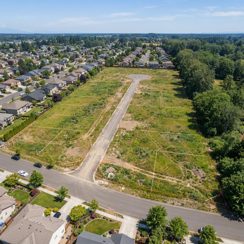
Understanding development potential is the key question for any land investor, developer, or property owner wondering whether their site can achieve planning permission. Development potential is not binary — it exists on a spectrum from "clearly developable with permission in place" to "effectively unbuildable due to constraints." This guide explains the factors that determine development potential and how to assess them.
The Five Factors That Determine Development Potential
1. Planning Policy Context
The single most important factor is the planning policy position. Land allocated for housing or commercial development in the adopted Local Plan has the highest development potential. Land in the Green Belt, open countryside, or designated as protected open space has very limited potential. Check the Local Plan policies map for your area alongside our site identification tool.
2. Physical Constraints
Physical constraints include flood risk, ground conditions, topography, ecology, heritage, and infrastructure. A site with no physical constraints is far easier to develop than one with a combination of flood zones, protected trees, and archaeological potential. Use our free constraint checker to identify all physical constraints before appraising a site.
3. Access and Connectivity
Planning permission is difficult to achieve without safe vehicular access from a public highway. Access standards depend on the development type and scale — highways engineers typically require visibility splays of 2.4m x 43–90m depending on the road speed. Check whether the site has existing access or whether new access creation is feasible.
4. Infrastructure Capacity
Local infrastructure — roads, schools, healthcare, utilities — must have capacity to accommodate new development. Local Authorities use infrastructure evidence to set out requirements in the Local Plan. Development contributions (S106 agreements or CIL charges) are typically required to mitigate infrastructure impacts.
5. Market Demand
Even a consented site has limited value if there's no market demand. Consider proximity to employment, transport links, amenities, and comparable sales evidence. In some rural locations, development potential exists in principle but viability is marginal due to construction costs exceeding sales values.
Free Development Potential Checker
Our site identification tool provides an instant constraint overview for any postcode or map location in England. It shows all major planning constraints, flood risk, heritage designations, and environmental overlays in one place — giving you a rapid initial assessment of development potential before commissioning professional reports.
Planning Constraint Impact on Development Potential
Different constraints have different impacts on development potential:
- Green Belt — very high constraint, limits to minor exceptions and "very special circumstances." Check Green Belt status
- Flood Zone 3b — effectively prevents most development
- Flood Zone 3a — requires Sequential Test, severely restricts residential
- SSSI — potential showstopper, requires Natural England consultation
- Ancient Woodland — irreplaceable habitat, very difficult to overcome
- Conservation Area — design-led constraints, not necessarily a blocker
- Listed Building setting — heritage impact assessment required
- TPOs — affects design and layout, not necessarily a blocker
- Radon affected area — technical mitigation available, not a development blocker
Local Plan Allocations and Development Potential
The most developable land is typically that specifically allocated for development in the adopted Local Plan. Allocations indicate the LPA has assessed the land as suitable, available, and achievable (the three tests of deliverability). To check whether land is allocated:
- Find your Local Planning Authority's website
- Search for the "Local Plan" or "Development Plan"
- Access the Policies Map or Proposals Map
- Check for housing, employment, or mixed-use allocations
What Planning Constraints Affect Land Value?
Constraints reduce development potential and therefore land value. The impact depends on whether the constraint prevents development entirely or simply adds cost:
- Show-stopping constraints (Green Belt, Flood Zone 3b, SSSI) — can reduce land from hope value to agricultural value
- Manageable constraints (TPOs, Conservation Area, Flood Zone 2) — add costs and design requirements but don't necessarily prevent development
- Technical constraints (contamination, radon, poor ground conditions) — add remediation costs but can usually be overcome
Planning Overlays Explained
Planning overlays are designations shown on a Local Plan Policies Map or interactive constraint map that restrict or guide development. Common overlays include:
- Green Belt
- Area of Outstanding Natural Beauty (AONB / National Landscape)
- Conservation Areas
- Flood Zone overlays (EA)
- Minerals Safeguarding Areas
- Biodiversity opportunity areas
- Local wildlife sites
- Landscape sensitivity zones
Our interactive map viewer lets you layer multiple overlays simultaneously to build up a complete picture of any site's constraints.
Viability — Does Development Stack Up Financially?
Development potential isn't just about getting planning permission — it's also about whether development is financially viable. Key viability factors:
- Residual land value — gross development value minus build costs, finance, profit, and developer contributions must leave a positive residual to justify land purchase
- Affordable housing requirements — typically 25–40% affordable units are required in most LPA areas, significantly affecting GDV
- Infrastructure contributions — S106 obligations and CIL charges can amount to £5,000–£30,000+ per unit
- Abnormal costs — contamination remediation, flood mitigation, archaeological investigation, ecology mitigation
Frequently Asked Questions
How do I check development potential of land for free?
Use Maplify's free site identification tool to check all major constraints instantly. Then review the Local Planning Authority's policies map to check for allocations or designations.
What stops land getting planning permission?
The most common reasons include: Green Belt designation, flood zone restrictions, lack of safe access, infrastructure capacity issues, ecological or heritage constraints, and conflict with Local Plan policy. See our full planning constraints guide.
How much is land worth with planning permission?
Land with planning permission for housing is typically valued at £500,000–£3,000,000+ per hectare depending on location, type, and density. Without planning permission, the same land may be worth £8,000–£30,000 per hectare as agricultural land.