
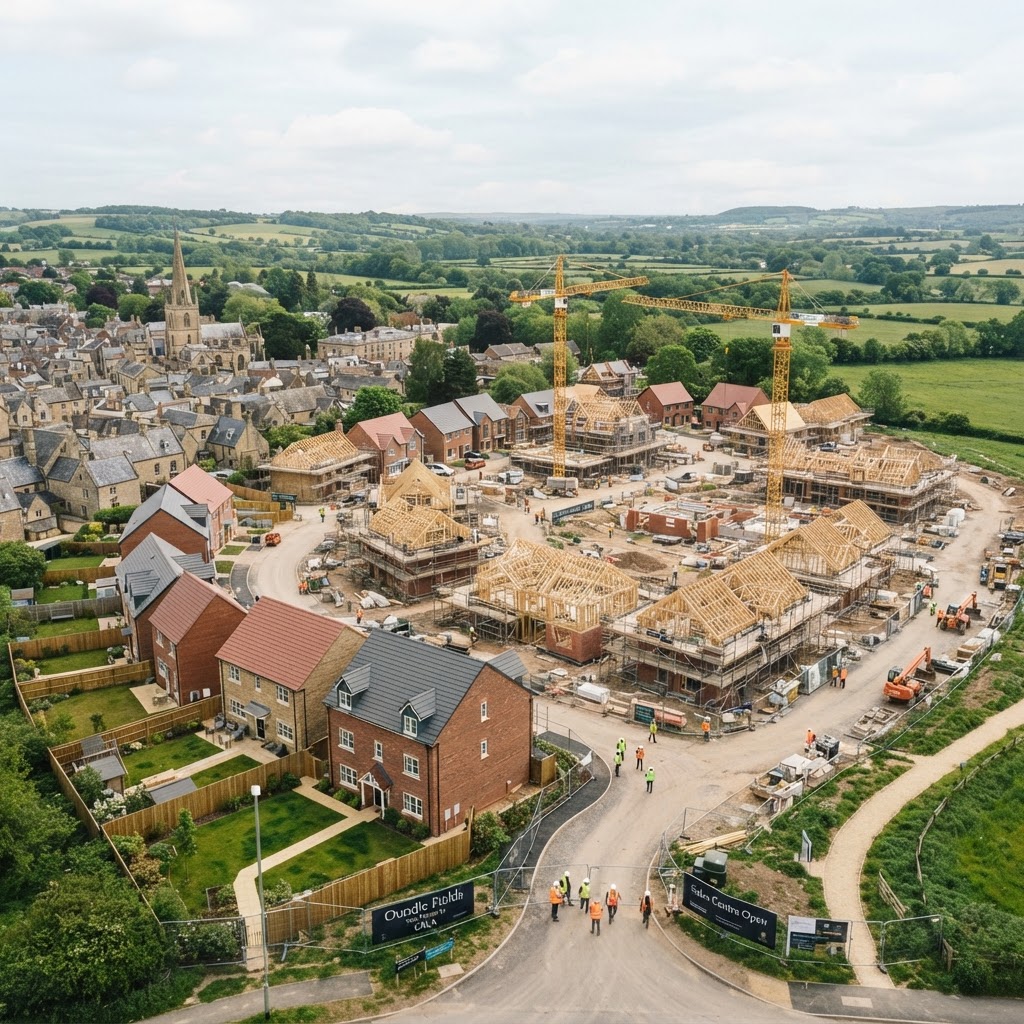
What Is a Housing Allocation?
A housing allocation is a site specifically identified in an adopted Local Plan (or emerging plan at an advanced stage) as suitable, available, and achievable for housing development within the plan period. Allocated land carries a fundamentally different planning risk profile to speculative "windfall" sites — the Local Planning Authority has already assessed it against the tests set out in national planning policy, which materially improves the odds of a successful planning application.
"An allocated site isn't a guarantee of permission — it's a strong steer that the principle of development has already been tested and found acceptable, subject to detail." — common guidance given by chartered town planners
The Three Tests for Allocation: Suitable, Available, Achievable
- Suitable — the site is in an appropriate location for development, having regard to its accessibility, character, and constraints.
- Available — there is a reasonable prospect the site will actually become available for development within the plan period, i.e. the landowner is willing to release it.
- Achievable — there is a reasonable prospect that development will be economically viable, deliverable and developable within the relevant timescale.
These three tests derive from the evidence base behind every Local Plan — usually a Strategic Housing Land Availability Assessment (SHLAA) or equivalent Housing and Economic Land Availability Assessment (HELAA) — which screens candidate sites before allocation.
Step-by-Step: How To Find and Assess Allocated Land
Step 1 — Check the Housing Allocations Layer
Use Maplify's housing allocations map to see sites identified for residential development across England in one place, rather than checking each Local Planning Authority's Policies Map individually.
Step 2 — Confirm the Allocation Is Still Current
Local Plans are periodically reviewed, and allocations can be removed, amended, or superseded by a later plan. Always cross-check against the Local Planning Authority's current adopted (or most advanced emerging) Local Plan and Policies Map directly, since Maplify's layer reflects published planning data that should still be verified against the source document for any live transaction.
Step 3 — Read the Site-Specific Allocation Policy
Most allocations are accompanied by a site-specific policy or development brief setting out expected density, height, affordable housing requirement, access point, and any specific infrastructure or design requirements. This is usually more informative than the allocation boundary alone, and often determines whether a scheme is viable.
Step 4 — Run a Full Constraints Check on the Allocated Boundary
An allocation doesn't override every constraint — flood risk, heritage designations, TPOs and ecological considerations still apply within an allocated boundary and must be addressed at application stage. Use Maplify's site identification tool to check the full constraint picture, and our planning constraints guide for how each overlay interacts with an allocation.
Step 5 — Check Delivery and Developer Interest
Search the Local Planning Authority's planning portal and Five Year Housing Land Supply statement to check whether the site already has an extant planning application, an appointed developer, or has stalled due to viability or infrastructure issues. A long-allocated but undelivered site can indicate an underlying constraint not obvious from the map alone.
Non-Allocated ("Windfall") Sites vs Allocated Sites
Windfall sites — land that comes forward for development without being specifically allocated — can still gain planning permission, particularly on brownfield land or where a Local Planning Authority cannot demonstrate a five-year housing land supply (which triggers a more permissive "tilted balance" under the NPPF). However, allocated sites generally face a lower evidential hurdle, since the principle of development has already been established through the plan-making process — including public consultation and, for larger plans, independent Examination in Public.
Neighbourhood Plan Allocations
In addition to Local Plan allocations, communities can allocate sites for housing through a Neighbourhood Plan, which carries statutory weight once it passes a local referendum. These allocations sit alongside — and must generally be in general conformity with — strategic policies in the Local Plan. See our related guide on how neighbourhood-level policy affects site allocations for further detail on this additional layer of designation.
What Allocation Means for Land Value
Allocation is one of the single biggest drivers of land value uplift in the English planning system. Agricultural land without an allocation or extant permission may be worth a small fraction of its value once formally allocated and, ultimately, permitted. Our guide to how planning constraints affect land value explains this uplift in more detail, alongside the constraints that can offset it even on allocated land.
Frequently Asked Questions
Does an allocation guarantee planning permission?
No. Allocation establishes that the principle of development is acceptable in policy terms, but a full planning application must still address detailed design, access, constraints and any conditions attached to the site-specific policy.
Can an allocated site be removed from a later Local Plan?
Yes — allocations can be reviewed, amended or dropped when a Local Plan is updated, particularly if the site has proven undeliverable or new constraints have emerged. Always check the current adopted plan rather than relying on a historic version.
How do I find the site-specific policy for an allocated site?
Search the Local Planning Authority's adopted Local Plan document (usually a PDF) for the site reference shown on the Policies Map, or contact the planning policy team directly — most authorities publish a schedule of site allocations with individual policy requirements.