
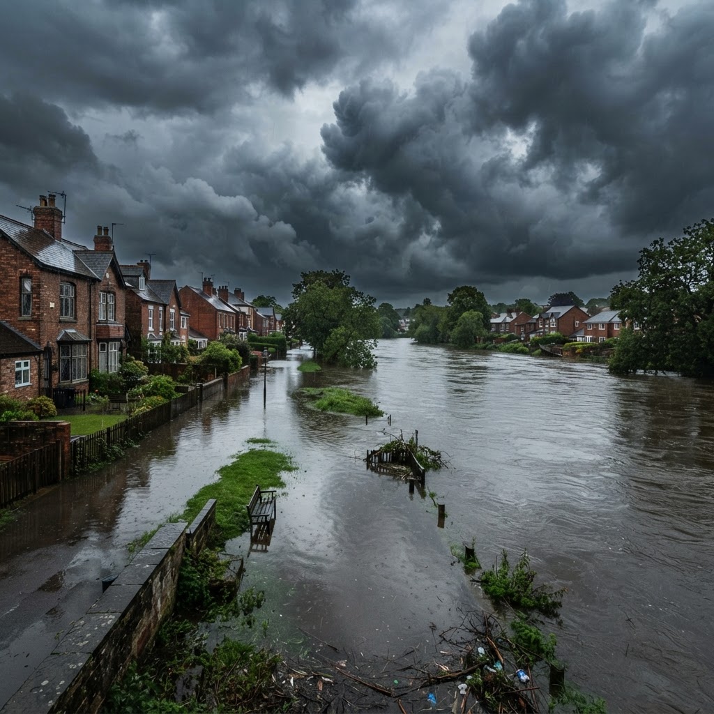
What Is Flood Risk and Why Does It Matter for Property?
Flood risk is one of the most significant material considerations in UK property purchase, mortgage lending, insurance, and planning. With climate change increasing the frequency and severity of flooding events, understanding the flood risk at any specific property has never been more important.
In England, flood risk is assessed and mapped by the Environment Agency (EA), which publishes the Flood Map for Planning — the statutory tool used by local planning authorities and developers to determine flood zones for planning purposes. The EA's National Flood Risk Assessment 2 (NaFRA2), launched in 2023, provides significantly more granular data on flood probability from multiple sources.
Use our free interactive checker below to assess what flood zone means for your property or development proposal, with references to the relevant national planning policy.
The Environment Agency Flood Zone System Explained
Flood zones in England are defined by the Environment Agency based on the probability of flooding from rivers and the sea, ignoring the presence of flood defences. They are set out in the NPPF Technical Guidance on Flood Risk (2022):
Flood Zone 1 — Low Probability
Land with a less than 0.1% annual probability of river or sea flooding (i.e. a 1-in-1000 year event or rarer). This is the lowest risk zone. The vast majority of England is in Flood Zone 1. Development in Zone 1 is generally unconstrained by flood risk policy, though surface water risk and other drainage issues may still apply.
Flood Zone 2 — Medium Probability
Land with a 0.1%–1% annual probability of river flooding (1-in-100 to 1-in-1000 year events), or a 0.1%–0.5% annual probability of sea flooding (1-in-200 to 1-in-1000 year events). Properties in Zone 2 require a Sequential Test for most new development and a Flood Risk Assessment may be required.
Flood Zone 3a — High Probability
Land with a 1% or greater annual probability of river flooding (1-in-100 year event), or 0.5% or greater annual probability of sea flooding (1-in-200 year event). Zone 3a is high flood risk. Both a Sequential Test and an Exception Test may be required for development, depending on the vulnerability classification of the proposed use.
Flood Zone 3b — Functional Floodplain
Land where water has to flow or be stored in times of flood (0.5% annual probability or greater for rivers, or as notified by the Environment Agency). Zone 3b is the most restrictive designation. The NPPF permits only water compatible development and essential infrastructure in Zone 3b — all other development is considered inappropriate.
Surface Water Flood Risk
In addition to fluvial (river) and coastal flood risk, surface water flooding is an increasingly significant concern. Surface water flooding occurs when intense rainfall overwhelms drainage systems and flows across the ground surface. Unlike fluvial flooding, it can affect properties at the top of hills and well away from watercourses.
The EA's updated maps now show surface water flood risk in three categories:
- High risk: Greater than 3.3% annual probability (1-in-30 year event)
- Medium risk: Between 1% and 3.3% annual probability (1-in-100 year event)
- Low risk: Between 0.1% and 1% annual probability (1-in-1000 year event)
Surface water risk is particularly relevant for planning applications, with Lead Local Flood Authorities (LLFAs) acting as statutory consultees for major development applications. Sustainable Drainage Systems (SuDS) are required for most new development under Schedule 3 of the Flood and Water Management Act 2010 (in Wales) and are strongly encouraged in England.
The Sequential Test and Exception Test
The Sequential Test (NPPF paragraph 161) requires that decision-makers and developers steer new development to areas of lowest flood risk. For sites in Flood Zones 2 and 3, applicants must demonstrate that there are no reasonably available, suitable sites in Zone 1 that could accommodate the development.
Where the Sequential Test has been passed — or is not required — but the site is still in a higher risk zone, the Exception Test may apply. This requires demonstration that:
- The development provides wider sustainability benefits to the community that outweigh flood risk; and
- The development will be safe for its lifetime taking account of the vulnerability of its users, without increasing flood risk elsewhere, and, where possible, will reduce flood risk overall.
Not all uses can pass the Exception Test in all zones — the NPPF Technical Guidance Table 2 sets out which combinations of flood zone and vulnerability classification are compatible.
Flood Re Insurance Scheme
Flood Re is a joint initiative between the UK Government and the insurance industry designed to make flood insurance more affordable for households at high flood risk. Properties built before 1 January 2009 with domestic contents or buildings insurance may be eligible to have their flood cover "ceded" to Flood Re, which caps the flood risk element of the premium.
Flood Re does not cover:
- Properties built after 1 January 2009
- Commercial properties (even small businesses)
- Leasehold properties where the freeholder insures the building
- Properties with more than 3 units
From 2039, Flood Re will begin to reflect more of the true cost of flood risk, so the long-term affordability of flood insurance for high-risk properties is not guaranteed.
What Is a Flood Risk Assessment?
A Flood Risk Assessment (FRA) is a technical report prepared by a flood risk consultant that assesses the flood risk to and from a development site. It is required by the NPPF Technical Guidance for:
- All development proposals in Flood Zones 2 and 3
- Development proposals of 1 hectare or more in Flood Zone 1
- Development in areas with identified critical drainage problems
- Development where the EA has requested an FRA in a pre-application response
An FRA typically includes a desk-based flood zone assessment, hydraulic analysis, assessment of residual risks after accounting for flood defences, and proposed flood mitigation measures including raised floor levels, flood resilient construction, and safe access and egress routes.
How to Check Flood Risk for Any Property
Use Maplify's free flood risk map to instantly overlay Environment Agency Flood Zones 1, 2, 3a, and 3b on any property in England, alongside surface water risk, historic flood outlines, and flood defence locations — all in one free interactive map with no registration required.
Frequently Asked Questions
Does being in Flood Zone 2 automatically mean I can't get a mortgage?
No. Flood Zone 2 does not prevent mortgage lending, but lenders may require evidence of flood insurance or a flood risk assessment before proceeding. Check with your mortgage broker early in the purchase process.
Can development be refused solely on flood risk grounds?
Yes. Where the Sequential Test or Exception Test cannot be passed, the Environment Agency will object to a planning application and the LPA should refuse it on flood risk grounds under NPPF paragraph 167.
What's the difference between flood zone and flood risk?
Flood zones (1, 2, 3a, 3b) represent the probability of flooding ignoring defences, as used for planning. Flood risk to a specific property accounts for the presence of flood defences, the standard of protection they provide, and the consequences of flooding — which the NaFRA2 assessment captures more precisely.
Is climate change factored into flood zone designations?
Flood zones are based on current probabilities, but climate change allowances must be incorporated into Flood Risk Assessments for planning applications. The EA publishes standard climate change allowances (currently +70% peak river flow and +40% to +60% sea level rise for developments with a 100-year lifetime).