
Why Boundary Disputes Happen
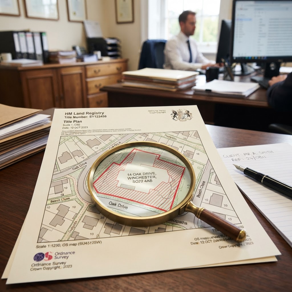
Boundary disputes are among the most common — and most bitter — property disagreements in England and Wales. The root cause is usually a misunderstanding of what a Land Registry Title Plan actually shows: most title plans display only a general boundary, not a precisely surveyed legal line. Understanding this distinction is the single most important thing a landowner or buyer can learn before a dispute starts.
"Nine times out of ten, a boundary dispute isn't about where the fence actually is — it's about two neighbours reading a general boundary plan as if it were a precise survey." — common observation among chartered land surveyors
General Boundaries vs Fixed Boundaries
Under the Land Registration Act 2002, HM Land Registry title plans show the general boundary of a registered title by default. A general boundary indicates the approximate line of the boundary but does not determine its exact position — for example, it doesn't confirm whether a boundary runs along the centre, inside face, or outside face of a hedge or wall.
A landowner can apply to have a fixed (determined) boundary registered under Rule 118 of the Land Registration Rules 2003, which requires a detailed survey and neighbour notification. Fixed boundaries are rare in practice — most title plans in England and Wales remain general boundaries, which is precisely why disputes recur.
Step-by-Step: How To Investigate a Boundary Before a Dispute Escalates
Step 1 — Obtain the Official Title Plan and Register
Order the official copies of the Title Register and Title Plan from HM Land Registry (£7 each) for both your title and, if possible, your neighbour's. See our guide on how to check who owns land in the UK for the full process.
Step 2 — Cross-Reference Against the INSPIRE Cadastral Layer
Use Maplify's Land Registry boundary map to view the INSPIRE cadastral parcel outlines overlaid on current aerial imagery and Ordnance Survey mapping. This lets you visually compare the registered general boundary against physical features on the ground — fences, hedges, walls — without needing to interpret raw deed plans by eye.
Step 3 — Examine the Underlying Conveyance and Historic Deeds
Where a general boundary is ambiguous, the original conveyance (the deed that first split the land) often contains the clearest description — sometimes with detailed measurements or a "T mark" indicating which party owns and must maintain a specific boundary feature. Pre-registration deeds can usually be obtained from the seller's solicitor at the time of the original sale, or requested from HM Land Registry if retained.
Step 4 — Check for a Boundary Agreement or Determined Boundary
Search the Charges Register of both titles for any existing boundary agreement — a legal document previously registered by neighbouring owners fixing an agreed line. If neither title shows a determined boundary, this confirms the dispute concerns a general boundary and reinforces the need for negotiation, expert survey evidence, or (as a last resort) tribunal determination rather than simple assertion.
Step 5 — Commission a Chartered Land Surveyor
For a genuinely contested boundary, an independent chartered land surveyor can prepare a measured survey referencing the original conveyance plans, historic Ordnance Survey editions, and physical evidence on site. This evidence carries significant weight if the dispute proceeds to the First-tier Tribunal (Property Chamber).
Resolving a Boundary Dispute Without Litigation
- Direct negotiation — the cheapest and fastest route; many disputes resolve once both parties see the same title plan and understand it's a general, not fixed, boundary.
- Boundary agreement — a formal document, ideally drafted by a solicitor and registered against both titles, fixing the agreed line for the future. This can be registered as a determined boundary under Rule 118.
- Mediation — a neutral third party facilitates a resolution; RICS and the Property Litigation Association both maintain accredited mediator panels for boundary disputes.
- First-tier Tribunal (Property Chamber) — where the Land Registry cannot resolve a dispute administratively (e.g. following an application for a determined boundary that's been objected to), the matter is referred to the Tribunal for a formal decision.
Adverse Possession and Long-Standing Occupation
Where land has been occupied beyond the paper boundary for an extended period — commonly 10 years for registered land, or 12 years for unregistered land — a claim for adverse possession may be possible under Schedule 6 of the Land Registration Act 2002. These claims are notoriously fact-specific and the registered proprietor has a right to object, so specialist legal advice is essential before relying on this route.
Preventing Disputes Before You Buy
The best time to resolve boundary ambiguity is before purchase, not after. When buying a property or plot, always: compare the title plan against the physical boundary features on a site visit; ask the seller directly about any historic boundary disagreements (a standard conveyancing enquiry); and check Maplify's boundary map alongside our full due diligence checklist before exchange.
Frequently Asked Questions
Is a Land Registry title plan legally definitive proof of a boundary?
No — in the vast majority of cases it shows only a general boundary, which is indicative rather than precise. A determined (fixed) boundary under Rule 118 is legally definitive, but very few titles have one.
Who pays for a boundary dispute survey?
There's no fixed rule — costs are often shared or negotiated between neighbours, though if a dispute proceeds to the Tribunal, costs can potentially be awarded against the losing party depending on the circumstances.
Can I move a fence back onto what I believe is my boundary?
Not without agreement or clear legal entitlement — unilaterally moving a boundary feature can itself constitute trespass or criminal damage even if you believe you're correct. Always resolve the boundary position first.