

Source: Natural England
AONB Map UK — National Landscapes
Search any UK location to check whether a site sits within an Area of Outstanding Natural Beauty before you buy, plan or develop.
Last checked by Maplify: August 2026
What This Layer Shows
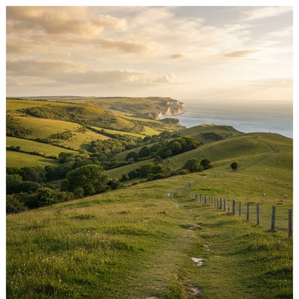
This layer maps Areas of Outstanding Natural Beauty (AONBs), rebranded as "National Landscapes" in 2023, designated under the National Parks and Access to the Countryside Act 1949 for their exceptional landscape quality. There are 46 AONBs across England, Wales and Northern Ireland, covering around 18% of the countryside, including the Cotswolds, Chilterns, Surrey Hills, North Devon and Kent Downs.
The primary statutory purpose of AONB designation is conserving and enhancing natural beauty — this includes landscape quality, wildlife, cultural heritage and the special character of the area, and it carries significant weight in planning decisions, particularly for larger-scale development.
Why It Matters
AONB status places a site under the same tier of landscape protection as a National Park, which materially affects the scale and type of development that is realistically achievable. Developers, architects and planning consultants check this layer early because "major development" — a term with specific planning meaning — faces a presumption of refusal within an AONB unless exceptional circumstances and public interest can be clearly demonstrated.
The effect extends beyond the boundary itself: schemes just outside an AONB can still be refused where they harm views into or out of the designated landscape, so checking proximity as well as containment is part of a thorough assessment.
How to Interpret the Map
Shaded polygon
The AONB (National Landscape) boundary as designated by Natural England.
Boundary line
The precise edge of the designation — sites straddling the line are part in, part out.
No shading
Land outside every mapped AONB — proximity and setting impact can still be a material planning consideration.
Planning and Development Implications
NPPF paragraph 182 gives AONBs the highest status of protection for landscape and scenic beauty, equal to National Parks. "Major development" — generally large-scale housing, commercial or infrastructure schemes — is refused except in exceptional circumstances where it can be demonstrated to be in the public interest, taking into account the need for the development, alternative locations, and any detrimental effect on the landscape.
Smaller-scale development is not automatically refused but faces closer design scrutiny on materials, scale, massing and impact on views, often guided by an AONB-specific management plan or design guide produced by the relevant conservation board.
What to Do When a Site Is Affected
- 1Confirm the exact AONB boundary and consult the relevant management plan with the local planning authority or conservation board.
- 2Assess whether the proposal is likely to be classed as "major development" under NPPF paragraph 182.
- 3If so, build the public interest and exceptional circumstances case early, including alternative site assessment.
- 4Commission a landscape and visual impact assessment for schemes near the boundary, even where the site itself sits outside it.
- 5Check the National Parks, Green Belt and wider Planning Designations layers for the same site for the fuller landscape picture.
This is general guidance, not professional or legal advice — confirm specifics with the relevant authority or a qualified professional.
Official Data Source
Data Freshness
Important Limitations
- AONB boundaries shown on Maplify are for screening — confirm the exact boundary with Natural England or the relevant conservation board.
- Whether a specific scheme counts as "major development" is a planning judgement that Maplify cannot make.
- AONB management plans vary between areas and may add design requirements not shown on this map.
- This map does not replace a landscape and visual impact assessment for significant proposals.
Common Use Cases
Property Developers
Screen sites for the "major development" test before committing to a scheme.
Planning Consultants
Build the exceptional circumstances and public interest case for larger proposals.
Architects
Design to local materials, scale and massing guidance from the outset.
Surveyors
Factor AONB status into valuation and feasibility reports.
Landowners
Understand realistic development potential before commissioning design work.
Environmental Consultants
Scope landscape and visual impact assessments for affected sites.
Related Layers
AONB checks are commonly run alongside these related layers.
Related Guides
Frequently Asked Questions
How do I check if a site is in an AONB?
Search the site on Maplify and enable the AONB layer. If the site falls within a shaded boundary, it sits within a National Landscape and the highest level of landscape protection applies.
Is AONB the same as National Landscape?
Yes — AONBs were rebranded as "National Landscapes" in 2023, but the statutory designation, boundary and level of protection are unchanged; both terms refer to the same areas.
Does AONB status prevent all development?
No, but NPPF paragraph 182 gives AONBs the same highest level of landscape protection as National Parks. "Major development" is generally refused except in exceptional circumstances shown to be in the public interest; smaller-scale development can still proceed subject to design scrutiny.
Can development just outside an AONB still be affected?
Yes. Development outside the boundary can be refused if it harms the AONB's setting or views into or out of the designated landscape, so proximity matters even without the site itself being inside the boundary.
How many AONBs are there in the UK?
There are 46 AONBs (National Landscapes) across England, Wales and Northern Ireland, covering around 18% of the countryside, including the Cotswolds, Chilterns, Surrey Hills and North Devon.
Who decides planning applications within an AONB?
The local planning authority remains the determining body in most cases, though some AONBs have a dedicated management board or conservation board that is a statutory consultee.
Check AONB Status on Maplify
Open the map, generate a site report or save your search to come back to it later.
Reviewed by the Maplify data & editorial team
Maplify displays official-source data for desktop screening and due diligence. We document where each dataset comes from, how it is processed, when it is checked and where its limitations matter.