

Source: Natural England, DEFRA & Forestry Commission
Environmental Designations Map UK
Check SSSI, SAC, SPA, Ramsar, ancient woodland and Biodiversity Net Gain designations for any UK site — 35 environmental constraint layers in one place.
Updated: as designated for most layers · Last checked by Maplify: August 2026
What This Layer Shows
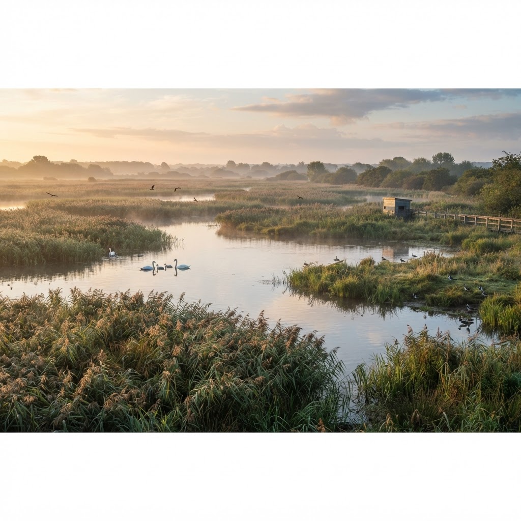
This layer combines 35 environmental designation datasets covering statutory wildlife sites (SSSIs), European and international designations (SAC, SPA, Ramsar), irreplaceable habitats (ancient woodland), nature reserves, priority habitats and registered Biodiversity Net Gain sites.
Over 4,000 SSSIs cover around 7% of England, and many overlap with SAC, SPA or Ramsar status, compounding the ecological protection that applies to a given site.
Why It Matters
Environmental designations drive the ecological assessment burden on a development proposal and, for European sites, a legally mandated Habitats Regulations Assessment. Developers and ecologists check this layer at the earliest feasibility stage, since these findings shape survey scope, seasonal timing constraints and, in some cases, fundamental scheme viability.
Because impacts are not always limited to the designated boundary — recreational pressure and water quality changes can extend a site's "zone of influence" for kilometres — checking this layer thoroughly avoids underestimating ecological risk on a site.
How to Interpret the Map
SSSI
Site of Special Scientific Interest — protects the finest wildlife habitats and geological features.
SAC / SPA / Ramsar
Internationally protected sites requiring a Habitats Regulations Assessment for qualifying developments.
Ancient Woodland
Irreplaceable habitat carrying the strongest protection in national planning policy.
Planning and Development Implications
Development likely to have a significant effect on a SAC, SPA or Ramsar site requires a Habitats Regulations Assessment before consent can be granted, and consent can only proceed in limited circumstances if adverse effects cannot be ruled out. Ancient woodland loss should be refused under NPPF 180(c) unless wholly exceptional reasons and a compensation strategy exist.
SSSI Impact Risk Zones trigger mandatory Natural England consultation for specified development types, even where the application site itself sits outside the SSSI boundary.
What to Do When a Site Is Affected
- 1Confirm exact designation boundaries and qualifying features with Natural England.
- 2Commission a Habitats Regulations Assessment screening exercise at the earliest feasibility stage for European sites.
- 3Check ancient woodland buffer zones before finalising a site layout.
- 4Budget for mitigation contributions if the site falls within a recognised zone of influence.
- 5Check individual layer pages (SSSI, Ancient Woodland, SAC/SPA/Ramsar) for detailed guidance.
This is general guidance, not professional or legal advice — confirm specifics with the relevant authority or a qualified professional.
Official Data Source
Data Freshness
Important Limitations
- This map screens for designations — it does not replace an ecological survey or Habitats Regulations Assessment where required.
- Habitat inventories are refreshed periodically and may not capture very recent site-level changes.
- Biodiversity Net Gain calculations require a full metric assessment, not just identification of nearby designations.
- Confirm designation status directly with Natural England for anything decision-critical.
Common Use Cases
Property Developers
Screen sites for ecological constraint before committing to acquisition.
Environmental Consultants
Scope ecological surveys and Habitats Regulations Assessments.
Planning Consultants
Advise on the likely weight given to harm in a planning decision.
Landowners
Understand designation status before commissioning land management works.
Related Layers
Environmental designation checks are often run alongside these related searches.
Related Guides
Frequently Asked Questions
What environmental designations does the map show?
Sites of Special Scientific Interest, Special Areas of Conservation, Special Protection Areas, Ramsar wetlands, ancient woodland, priority habitats, nature reserves and Biodiversity Net Gain sites — 35 layers in total.
What is a Habitats Regulations Assessment?
An HRA is legally required for planning applications likely to have a significant effect on a Special Area of Conservation, Special Protection Area or Ramsar site.
Why is ancient woodland treated differently to other habitats?
Ancient woodland is classed as irreplaceable habitat. NPPF paragraph 180c requires refusal of development causing its loss unless wholly exceptional circumstances apply.
What is Biodiversity Net Gain?
Since November 2023, most planning applications must deliver a minimum 10% net gain in biodiversity value, achievable on-site or through registered off-site credit sites.
Does an SSSI automatically block development?
No, but SSSI Impact Risk Zones trigger mandatory Natural England consultation for certain development types nearby.
Check Environmental Designations on Maplify
Search any UK site to see all 35 environmental designation layers in one view.
References and Methodology
Reviewed by the Maplify data & editorial team
Maplify displays official-source data for desktop screening and due diligence. We document where each dataset comes from, how it is processed, when it is checked and where its limitations matter.