

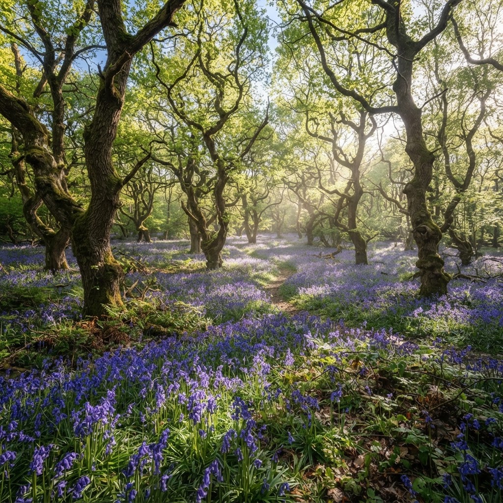
Source: Natural England Inventory
Ancient Woodland Map UK
Search any UK location to check for ancient woodland and its buffer zone on or near a site before planning works nearby.
Updated: as Natural England revises the inventory · Last checked by Maplify: August 2026
What This Layer Shows
This layer maps the Ancient Woodland Inventory maintained by Natural England, showing Ancient Semi-Natural Woodland (ASNW), Plantations on Ancient Woodland Sites (PAWS), and recommended buffer zones around each boundary. Ancient woodland is defined as woodland that has existed continuously since at least 1600 AD in England, and is classed as irreplaceable habitat.
ASNW retains native tree species and ground flora and represents the highest conservation priority within the inventory. PAWS sites had their original native trees replaced by plantation species, often conifers, but ancient woodland soil, seed banks and ground flora can still survive beneath the plantation, so protection still applies. The layer also flags individually significant veteran trees standing outside mapped woodland boundaries.
Why It Matters
Ancient woodland carries the strongest protection of any habitat designation in national planning policy, and its presence on or near a site is one of the most likely reasons for a refusal recommendation from planning officers and statutory consultees. Developers, ecologists and planning consultants check this layer at the earliest feasibility stage, well before a formal ecological survey is commissioned, because the buffer zone alone can materially reduce a site's developable area.
Because ancient woodland cannot be recreated once lost — even large-scale replanting elsewhere does not replicate its ecological complexity within a reasonable timeframe — the policy bar for accepting harm is deliberately set very high, making early identification essential to avoiding abortive design and application costs.
How to Interpret the Map
Ancient Semi-Natural Woodland (ASNW)
Native tree species and ground flora continuously present since 1600 AD — the highest conservation priority.
Plantation on Ancient Woodland Site (PAWS)
Original native trees replaced with plantation species; ancient woodland features may still survive beneath.
Buffer zone
Recommended precautionary distance around the woodland boundary — minimum 15m, up to 50m+ for larger developments.
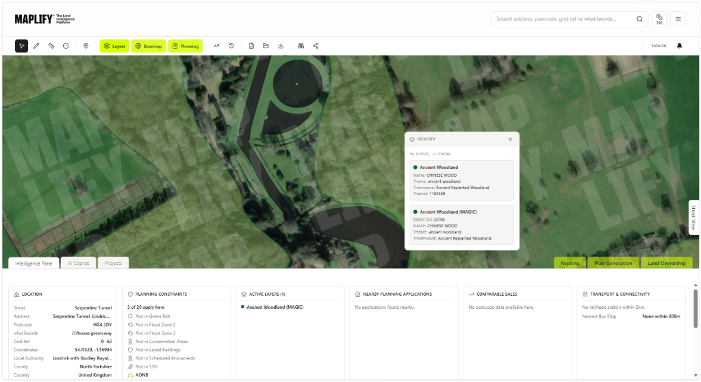
Ancient Woodland Layer in the Maplify Map
Planning and Development Implications
NPPF paragraph 180(c) states that development resulting in the loss or deterioration of irreplaceable habitats, including ancient woodland and veteran trees, should be refused unless there are wholly exceptional reasons and a suitable compensation strategy exists. Economic benefit or housing need alone is not treated as sufficient justification to override this policy.
Where a site sits within or adjacent to the recommended buffer zone, an ecological impact assessment addressing root protection, hydrology, air quality and disturbance is typically required before an application can be validated, and layout amendments are common to keep development clear of the buffer.
What to Do When a Site Is Affected
- 1Confirm the exact woodland boundary and classification (ASNW or PAWS) with Natural England's inventory.
- 2Commission an ecological impact assessment if any part of the site falls within the recommended buffer zone.
- 3Revise the site layout to maximise the distance between built development and the woodland edge.
- 4Document any "wholly exceptional reasons" and compensation strategy clearly if harm cannot be avoided.
- 5Check the SSSI, Green Belt and Public Rights of Way layers for the same site for the fuller ecological and access picture.
This is general guidance, not professional or legal advice — confirm specifics with the relevant authority or a qualified professional.
Official Data Source
Data Freshness
Important Limitations
- The inventory is periodically revised — very recently identified ancient woodland may not yet be mapped.
- Buffer zone distances are general guidance; the appropriate distance for a specific development should be confirmed with the local planning authority or an ecologist.
- "Wholly exceptional reasons" for development affecting ancient woodland are rare and require case-specific professional and legal advice.
- This map does not replace an ecological survey for a site adjacent to or containing woodland.
Common Use Cases
Property Developers
Screen sites for buffer zone constraints before committing to acquisition.
Planning Consultants
Advise on the likelihood of refusal and the case for any exceptional-circumstances argument.
Architects
Design layouts that maximise separation from the woodland boundary from the outset.
Environmental Consultants
Scope ecological impact assessments and mitigation strategies for affected sites.
Surveyors
Factor ancient woodland proximity into valuation and feasibility reports.
Landowners
Understand realistic development potential before commissioning design work.
Related Layers
Ancient woodland checks are often run alongside these related layers.
Related Guides
Frequently Asked Questions
What counts as ancient woodland?
Woodland that has existed continuously since at least 1600 AD in England. It is classed as irreplaceable habitat because its ecological complexity cannot be recreated within a reasonable timeframe once lost.
Can I develop on or near ancient woodland?
NPPF paragraph 180(c) states development resulting in loss or deterioration of ancient woodland should be refused unless there are wholly exceptional reasons and a suitable compensation strategy — economic benefit or housing need alone is not sufficient.
What buffer zone applies around ancient woodland?
A minimum 15-metre buffer is generally recommended to protect against edge effects like root damage and pollution, rising to 50 metres or more for larger developments — check with the local planning authority for the specific requirement.
What is PAWS (Plantation on Ancient Woodland Site)?
PAWS is ancient woodland where the original native trees were replaced with plantation species, often conifers. Ancient woodland soil and ecological features can still survive underneath, so PAWS retains some protection.
How do I check for ancient woodland on my land?
Search the site on Maplify and enable the Ancient Woodland layer, which combines the Natural England inventory with buffer zone guidance.
Are veteran trees protected in the same way as ancient woodland?
Veteran trees are recognised as irreplaceable habitat in the same NPPF paragraph as ancient woodland, even where they stand alone outside a mapped woodland boundary, and should be treated with equivalent caution.
Check Ancient Woodland on Maplify
Open the map, generate a site report or save your search to come back to it later.
Reviewed by the Maplify data & editorial team
Maplify displays official-source data for desktop screening and due diligence. We document where each dataset comes from, how it is processed, when it is checked and where its limitations matter.