

Postcode Lookup
Check Flood Risk by Postcode
Type a UK postcode into Maplify to get an initial read on flood risk. See Environment Agency flood zones, surface water probability and historic flooding for that area, then zoom to the exact property for a more precise site-level check.
Last checked by Maplify: September 2026
Why Check Flood Risk by Postcode?
A postcode search is the fastest way to get an initial flood risk picture for an area — useful when comparing several properties before booking viewings, or when you just need a quick answer without knowing the exact address yet. Flood risk materially affects insurance premiums, mortgage lending decisions and, for Flood Zone 2 or 3 sites, planning requirements — so it's worth checking early rather than after an offer is accepted.
How to Check Flood Risk by Postcode
- 1Open Maplify's map viewer.
- 2Type the full postcode (e.g. SW1A 1AA) into the search bar and press enter.
- 3The map centres on that postcode area.
- 4Enable Flood Zone 2, Flood Zone 3 and Surface Water Flood Risk from the layers panel.
- 5Review the shaded areas covering the postcode.
- 6Zoom in and switch to the full address or property boundary for a precise, single-property reading.
Worked Example
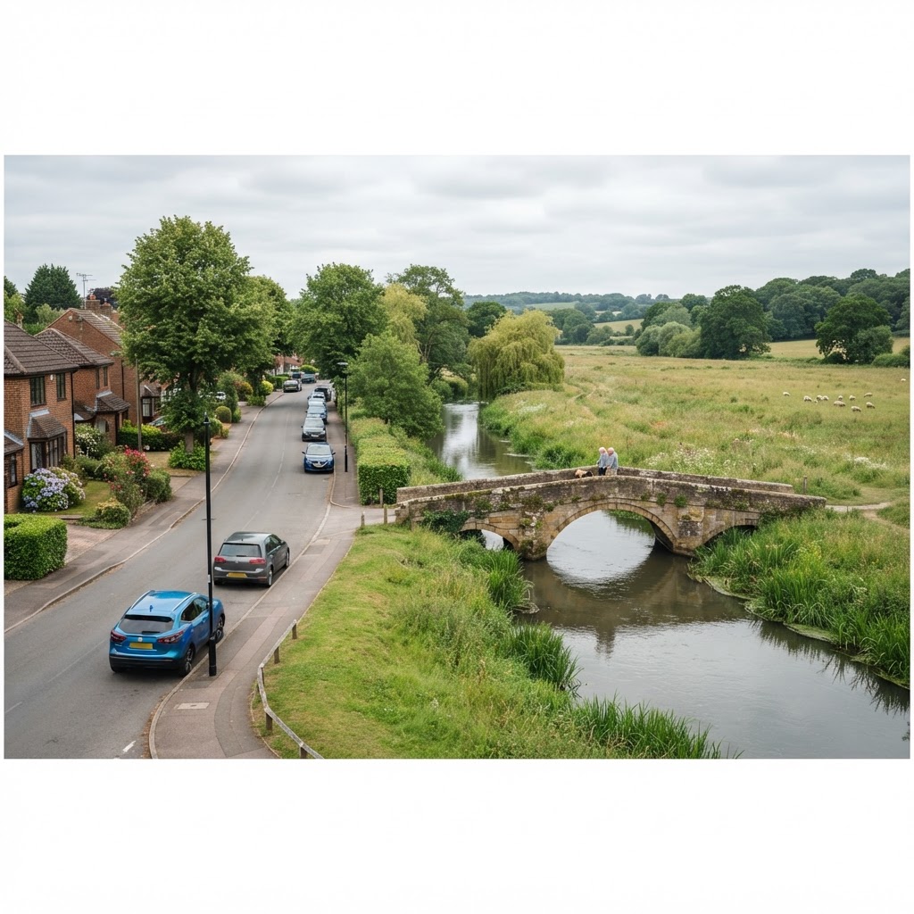
Searching the postcode for a street near a river shows a mixed picture across that small area:
- Properties on the river-facing side of the street fall within Flood Zone 3.
- Properties set back on higher ground sit in Flood Zone 1, outside the mapped flood zones.
- A band of medium surface water risk runs along the rear gardens on both sides of the street.
- This spread shows why, once a postcode flags any risk, checking the specific address matters before making decisions.
Data Source, Coverage and Updates
Important Limitations
- A postcode can cover multiple properties with differing flood risk — always confirm the specific address for anything decision-critical.
- Postcode centroids are an approximate centre point, not an exact property location.
- This is a screening check, not a substitute for a professional Flood Risk Assessment where one is required for planning.
- Insurance quotes should be obtained directly from insurers rather than assumed from map data alone.
Combine This Layer With
Once you've narrowed down a postcode, these related checks go further.
Frequently Asked Questions
How do I check flood risk by postcode?
Type a full UK postcode into the search bar on the Maplify map, then enable the flood zone and surface water layers. The map will centre on that postcode area so you can see which flood categories apply.
How accurate is a postcode-level flood check?
A postcode covers a small group of properties, not a single address, so results give a strong initial indication but can vary slightly within that postcode. For a purchase decision, zoom in to the specific property boundary for a precise reading.
Can I check flood risk by postcode on Maplify?
Yes. Create or sign in to a Maplify account, search the postcode, and open the flood layers for the area. Your available search credits are shown in Mapview before you run searches.
What flood risk factors does a postcode check cover?
Flood Zone 2 and 3, surface water flooding at three probability bands, historic flood records and flood defence coverage are all available for the postcode area you search.
Can a postcode check affect getting a mortgage or insurance?
Lenders and insurers will run their own checks, but knowing the flood risk category for a postcode in advance helps you budget for insurance costs or raise questions before making an offer.
What if my postcode covers a large or mixed-risk area?
Rural postcodes can cover a wider area with varying risk. Search the full address or zoom into the map to confirm which part of the postcode area applies to your specific property.
Search a Postcode on Maplify
Search a postcode, then inspect the exact property against Environment Agency flood data.