

Source: Historic England National Heritage List
Registered Parks & Gardens Map UK
Search any UK location to check for a Registered Park or Garden, and understand what its historic designed landscape status means for development nearby.
Updated: as Historic England amends the National Heritage List · Last checked by Maplify: August 2026
What This Layer Shows
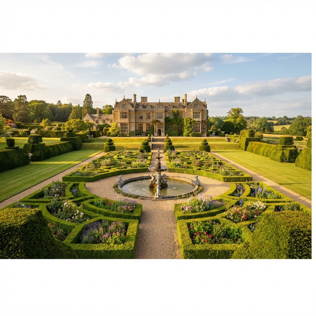
This layer maps entries on the Register of Historic Parks and Gardens, which lists around 1,700 sites of special historic interest in England — designed landscapes such as country estates, public parks, cemeteries and botanical gardens. Sites are graded I, II* or II, mirroring the listed building grading system.
Registration recognises a landscape's historic layout, planting scheme, structures and designed views, often developed over centuries by notable landscape architects, and is distinct from — though frequently found alongside — listed buildings on the same estate.
Why It Matters
While registration carries no automatic legal control of its own, unlike listing or scheduling, it is a significant material consideration that local planning authorities are required to weigh in any decision affecting the site or its setting. This means a proposal can be refused purely on the grounds of harm to a registered landscape, even without a separate statutory designation being breached.
Developers, architects and planning consultants check this layer particularly for sites near historic estates, since the "setting" test can extend well beyond the registered boundary itself, affecting land that appears otherwise unconstrained.
How to Interpret the Map
Grade I
Landscapes of exceptional historic interest — the highest grade.
Grade II*
Particularly important landscapes of more than special interest.
Grade II
Landscapes of national importance and special interest.
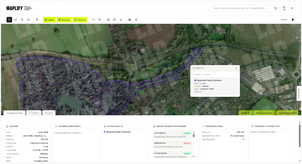
Registered Parks & Gardens Layer in the Maplify Map
Planning and Development Implications
Development within or affecting the setting of a Registered Park or Garden requires an assessment of harm to its historic character, layout and views, similar in principle to how a listed building's setting is assessed. This can include impact on key vistas, tree belts, boundary walls and the overall composition of the designed landscape.
Because harm to a registered landscape is a material — rather than statutory — consideration, its weight in a decision can vary between authorities, but higher-graded sites and clear physical or visual harm are treated very seriously by planning inspectors on appeal.
What to Do When a Site Is Affected
- 1Confirm the exact registered boundary and grade with Historic England's National Heritage List.
- 2Commission a heritage or landscape statement assessing impact on key views and the designed landscape composition.
- 3Check for listed buildings within the same estate, since these frequently overlap with registered parks and gardens.
- 4Engage the local planning authority's conservation officer early for any proposal near the registered boundary.
- 5Revise layout or landscaping proposals to protect key sightlines if harm is identified.
This is general guidance, not professional or legal advice — confirm specifics with the relevant authority or a qualified professional.
Official Data Source
Data Freshness
Important Limitations
- Registered boundaries are for screening — confirm the exact boundary and grade with Historic England.
- "Setting" impact is a planning judgement and not something the map itself can determine.
- A very recently registered site may not yet appear if Historic England has not published updated data.
- This map does not replace a heritage or landscape statement for significant proposals.
Common Use Cases
Property Developers
Assess setting-related heritage risk before committing to a site near a historic estate.
Planning Consultants
Advise on the weight likely to be given to harm in a planning decision.
Architects
Design layouts and landscaping that respect key views and the designed landscape.
Surveyors
Factor registered status into valuation and feasibility reports.
Landowners
Understand realistic development potential on or near a registered landscape.
Environmental Consultants
Coordinate landscape assessments alongside ecological and heritage surveys.
Related Layers
Registered Park & Garden checks are commonly run alongside these related layers.
Related Guides
Frequently Asked Questions
How do I check if a site is a Registered Park or Garden?
Search the site on Maplify and enable the Registered Parks & Gardens layer. If the site falls within a shaded boundary, it is registered and its grade will show in the popup.
Does registration carry legal planning controls?
Registration itself carries no automatic legal controls, unlike listing or scheduling, but it is a significant material consideration that local planning authorities must weigh in any decision affecting the site or its setting.
How are Registered Parks and Gardens graded?
Sites are graded I, II* or II, mirroring the listed building grading system, reflecting their relative historic and design significance.
Can development outside the registered boundary still be affected?
Yes. Development affecting key views, vistas or the wider landscape setting of a registered site can be refused even where it sits outside the mapped boundary.
How many Registered Parks and Gardens are there in England?
The Register of Historic Parks and Gardens lists around 1,700 sites of special historic interest in England, including country estates, public parks and cemeteries.
Do these designations overlap with listed buildings?
Frequently — many registered parks and gardens surround a listed country house or estate, so checking both layers together gives a fuller heritage picture.
Check Registered Parks & Gardens on Maplify
Open the map, generate a site report or save your search to come back to it later.
References and Methodology
Reviewed by the Maplify data & editorial team
Maplify displays official-source data for desktop screening and due diligence. We document where each dataset comes from, how it is processed, when it is checked and where its limitations matter.