

Source: Local Plans & Neighbourhood Plans
Housing Allocations Map UK
Search any UK area to find sites allocated for housing or employment in an adopted Local or Neighbourhood Plan.
Updated: as Local and Neighbourhood Plans are adopted · Last checked by Maplify: August 2026
What This Layer Shows
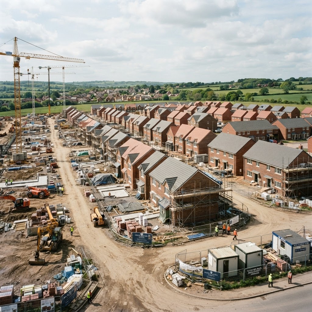
This layer maps sites specifically allocated for housing, employment or mixed use through an adopted Local Plan, and additional sites allocated through a Neighbourhood Plan where one is in place. Each allocation typically comes with an indicative housing or floorspace capacity, a reference to the policy document it derives from, and any specific site requirements set by the plan.
Allocated sites have already been through a formal assessment process — the Strategic Housing Land Availability Assessment (SHLAA) or equivalent — testing suitability, availability and achievability, before being carried forward into the adopted plan.
Why It Matters
Allocation is one of the strongest positive signals a site can carry in the English planning system: an application on an allocated site for its allocated use is far more likely to succeed than a speculative application on unallocated land, since the principle of development has already been tested and adopted through the plan-making process, including public examination.
For developers and land buyers, checking allocation status is a core part of site sourcing, since it materially de-risks the planning route compared with promoting an unallocated site through a speculative or "call for sites" process.
How to Interpret the Map
Housing allocation
Site identified for housing-led development in the adopted Local Plan, with an indicative capacity.
Employment allocation
Site identified for employment or commercial use.
Neighbourhood Plan allocation
Additional site identified through a community-led Neighbourhood Plan.
Planning and Development Implications
An application on an allocated site for its allocated use benefits from a strong policy presumption in favour, since the principle of development has already been established through the plan-making process. Design, access, layout, drainage and other technical matters must still be addressed and can still result in refusal or the need for amendment, but the fundamental question of whether development should happen at all is largely settled.
Where a site is proposed for a use other than its allocation, or at a materially higher density or different form than envisaged, the application is assessed more like a speculative proposal and carries correspondingly greater planning risk.
What to Do When a Site Is Affected
- 1Confirm the exact allocation reference, indicative capacity and any site-specific requirements with the local planning authority.
- 2Check whether the plan the allocation derives from is still current or has been superseded by a newer plan.
- 3Review any Neighbourhood Plan policies that may add further design or use requirements.
- 4Prepare a planning application that reflects the allocated use and broadly matches the indicative capacity.
- 5Check the Brownfield Land and Green Belt layers for the same site for the fuller planning policy picture.
This is general guidance, not professional or legal advice — confirm specifics with the relevant authority or a qualified professional.
Official Data Source
Data Freshness
Important Limitations
- Allocation data is for screening — always confirm current status and any conditions with the local planning authority.
- A very recently adopted or amended plan may not yet be reflected if the local authority has not published updated data.
- Indicative capacity figures can change once a full planning application is prepared.
- This map does not replace a technical feasibility or planning application for an allocated site.
Common Use Cases
Property Developers
Source de-risked sites with an established policy presumption in favour of development.
Planning Consultants
Advise on the strength of the policy case and any allocation-specific requirements.
Landowners
Understand whether existing land already carries a formal development allocation.
Surveyors
Factor allocation status into valuation and feasibility reports.
Architects
Design schemes that align with the allocation's indicative capacity and requirements.
Solicitors
Confirm allocation status during land promotion and option agreement due diligence.
Related Layers
Housing allocation checks are commonly run alongside these related layers.
Related Guides
Frequently Asked Questions
How do I check if a site is allocated for housing?
Search the area on Maplify and enable the Housing Allocations layer. Allocated sites show their indicative capacity and the adopted plan they come from.
Does allocation guarantee planning permission?
No, but an application on an allocated site for its allocated use is far more likely to succeed than a speculative application on unallocated land — design, access and technical matters must still be addressed and approved.
What is the difference between a Local Plan and a Neighbourhood Plan allocation?
Local Plan allocations are made by the local planning authority across the whole borough or district. Neighbourhood Plans are community-led and can allocate additional sites or set local design policies alongside the borough-wide Local Plan, provided they are in general conformity with it.
Can an allocated site still be refused planning permission?
Yes. Allocation establishes the principle of development in policy terms, but a specific application can still be refused on design, access, environmental or technical grounds.
How often are Local Plans and their allocations updated?
Local Plans are typically reviewed every five years or so, though timescales vary — always check whether the plan a site is allocated under is still current or has been superseded.
Are employment allocations shown on this layer too?
Yes. The layer includes sites specifically allocated for employment or mixed use alongside pure housing allocations, since both are set through the same adopted plan process.
Find Allocated Sites on Maplify
Open the map, generate a site report or save your search to come back to it later.
References and Methodology
Reviewed by the Maplify data & editorial team
Maplify displays official-source data for desktop screening and due diligence. We document where each dataset comes from, how it is processed, when it is checked and where its limitations matter.