

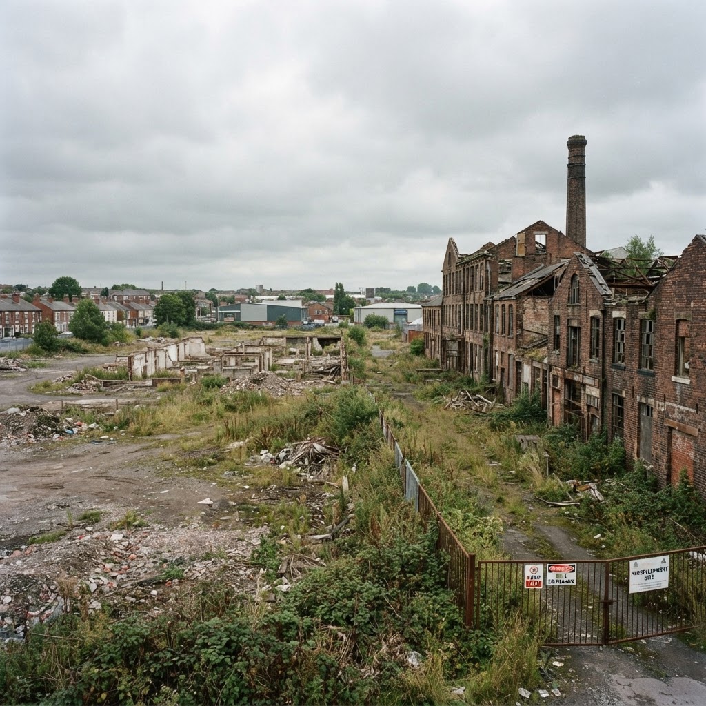
Source: Planning.data.gov.uk
Brownfield Land Map UK
Search any UK area to find registered brownfield sites suitable for housing, and check what has already been assessed by the local authority.
Updated: as local authorities review their register · Last checked by Maplify: August 2026
What This Layer Shows
This layer maps entries on each local planning authority's statutory Brownfield Land Register — previously developed land considered suitable for housing. Every local authority in England is required to maintain a public register, split into Part 1 (all suitable sites) and Part 2 (sites that have gone through additional assessment and can benefit from permission in principle for housing-led development).
Sites vary widely in scale, from small infill plots to large former industrial estates, and each entry typically records the site boundary, estimated housing capacity, and whether it sits on Part 1 or Part 2 of the register.
Why It Matters
The brownfield register is a genuinely useful site-sourcing tool, since these sites have already been assessed by the local authority as suitable, available and achievable for housing — cutting out a significant amount of early-stage due diligence for developers and land buyers. Part 2 sites go further still, carrying permission in principle for the housing-led use, which can streamline and de-risk the planning process considerably.
At the same time, previously developed land frequently carries a legacy of industrial contamination, so the register is best read alongside the Contaminated Land layer rather than as a standalone signal that a site is straightforward to develop.
How to Interpret the Map
Part 1 register site
Identified as brownfield land suitable for housing — no permission in principle attached.
Part 2 register site
Additional assessment complete — benefits from permission in principle for housing-led development.
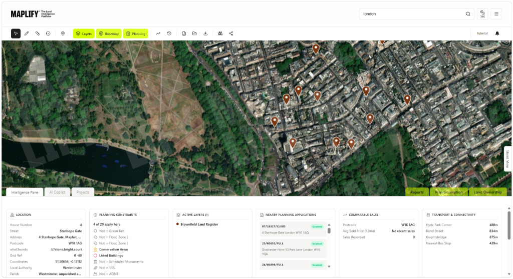
Brownfield Land Layer in the Maplify Map
Planning and Development Implications
Inclusion on the register, particularly Part 2, streamlines the early stage of the planning process by establishing the principle of housing-led development without a full planning application. A technical details consent application — addressing design, access, layout and other site-specific matters — is still required before development can begin, and this can still be refused if the technical details are unacceptable.
Brownfield status does not override other constraints: contamination, flood risk, heritage designations and Green Belt policy (where applicable) all still apply and must be addressed through the normal assessment process.
What to Do When a Site Is Affected
- 1Confirm whether the site is on Part 1 or Part 2 of the register with the local planning authority.
- 2Check the Contaminated Land layer for the same site, since brownfield land frequently carries legacy contamination.
- 3Review the register entry's reported housing capacity against your own feasibility assessment.
- 4For Part 2 sites, prepare a technical details consent application addressing design, access and layout.
- 5Check flood risk, heritage and Green Belt layers, since brownfield status does not clear these constraints.
This is general guidance, not professional or legal advice — confirm specifics with the relevant authority or a qualified professional.
Official Data Source
Data Freshness
Important Limitations
- Register entries are for screening — always confirm current status and any conditions with the local planning authority.
- A recently added, removed or amended entry may not yet appear if the local authority has not published updated data.
- Reported housing capacity is indicative and may change once a full technical details application is prepared.
- This map does not replace a site-specific contamination, flood risk or heritage assessment.
Common Use Cases
Property Developers
Source pre-assessed sites with an established principle of housing-led development.
Planning Consultants
Advise on the technical details consent route for Part 2 register sites.
Landowners
Understand whether existing land already has development potential recognised by the council.
Surveyors
Factor register status into valuation and feasibility reports.
Environmental Consultants
Scope contamination assessments alongside brownfield redevelopment proposals.
Architects
Design schemes that align with the reported capacity and site constraints.
Related Layers
Brownfield land checks are commonly run alongside these related layers.
Related Guides
Frequently Asked Questions
How do I find brownfield land near me?
Search an area on Maplify and enable the Brownfield Land layer to see registered sites and their reported housing capacity.
Does being on the brownfield register mean a site has planning permission?
No. Part 1 register sites are simply identified as brownfield land suitable for housing. Part 2 sites benefit from permission in principle for the housing-led development, but a full technical details consent application is still required before building can start.
What counts as brownfield land?
Previously developed land — land that has been built on before, excluding agricultural or forestry land and land that has reverted to nature through long-term disuse. It commonly includes former industrial, commercial or institutional sites.
Is brownfield land free of planning constraints?
No. Brownfield sites frequently carry other constraints, most commonly legacy ground contamination, and can still be affected by flood risk, heritage designations or Green Belt status — the register does not clear these.
How often is the brownfield register updated?
Local planning authorities are required to review and update their register at least once a year, though many update more frequently as sites are added, developed or removed.
Can brownfield land be in the Green Belt?
Yes. Previously developed land within the Green Belt is treated differently to open countryside for some forms of redevelopment under NPPF, though Green Belt policy still applies — always check both layers together.
Find Brownfield Land on Maplify
Open the map, generate a site report or save your search to come back to it later.
References and Methodology
Reviewed by the Maplify data & editorial team
Maplify displays official-source data for desktop screening and due diligence. We document where each dataset comes from, how it is processed, when it is checked and where its limitations matter.