

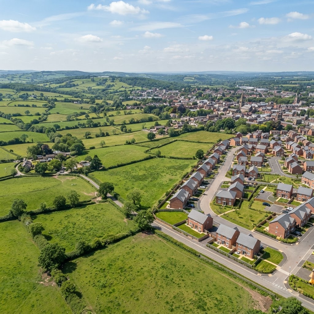
22 Layers · Planning Data Gov UK & Natural England
Check planning designations on an interactive map
Check Green Belt, Article 4 Directions, brownfield land, agricultural land classification, housing allocations and local plan policy for any UK site in one search — 22 official designation layers on a single map.
What the Map Shows
Landscape and Growth Constraints
Green Belt, Areas of Outstanding Natural Beauty and National Parks all carry a strong presumption against inappropriate development, requiring "very special circumstances" or exceptional justification.
Permitted Development and Land Allocations
Article 4 Directions remove specific permitted development rights locally, while the Brownfield Land Register and site allocations flag land with a policy steer towards development.
Agricultural and Local Policy Context
Agricultural Land Classification grades, neighbourhood plan areas and local plan boundaries provide the wider policy context for how a site's use is likely to be judged.
How to Check Planning Designations
- 1Open the Planning Designations map on Maplify.
- 2Search the site by postcode or address.
- 3Enable the designation layers relevant to your question — Green Belt, Article 4, brownfield, or ALC.
- 4Click each boundary to check its exact classification.
- 5Cross-reference with the local authority's adopted Local Plan for policy detail.
Worked Example
A site on the edge of a town is checked for planning designations before a feasibility study:
- The site is not in the Green Belt, removing the strictest constraint from consideration.
- It falls within a Site Allocation from the adopted Local Plan, indicating the council has already identified it for housing.
- A small area is registered on the Brownfield Land Register, strengthening the case for redevelopment.
- No Article 4 Direction applies, so standard permitted development rights remain in place for any interim works.
Data Source, Coverage and Updates
Important Limitations
- Designation boundaries are indicative for screening — confirm exact status and policy wording with the local planning authority.
- Being outside every mapped constraint does not guarantee planning permission will be granted.
- Local plan policies change over time; always check the current adopted plan for a site.
- This map does not replace professional planning advice for a specific application.
Combine This Layer With
Planning designation checks are often run alongside these related searches.
Frequently Asked Questions
What planning designations does the map cover?
Green Belt, Areas of Outstanding Natural Beauty, National Parks, Agricultural Land Classification, Article 4 Directions, Brownfield Land Register, site allocations, neighbourhood plan areas and local plan boundaries, among 22 layers in total.
How do I check planning constraints for a site?
Search the site on Maplify and enable the planning designation layers relevant to your check — Green Belt and Article 4 for permitted development questions, or brownfield and site allocations for development potential.
What is an Article 4 Direction?
It removes specific permitted development rights in a defined area, meaning works that would normally not need planning permission — like some extensions or change of use — require a full application instead.
Is brownfield land automatically approved for housing?
No, but previously developed land on the Brownfield Land Register benefits from a planning policy presumption in favour of redevelopment for housing, which can make the planning process more favourable.
What is Best and Most Versatile agricultural land?
Grades 1, 2 and 3a on the Agricultural Land Classification are considered Best and Most Versatile and are protected under NPPF paragraph 174 — development on this land needs stronger justification.
Check Planning Designations on Maplify
Search any UK site to see all 22 planning designation layers in one view.