
Editorial review
Reviewed by the Maplify Editorial Team. Editorial policy
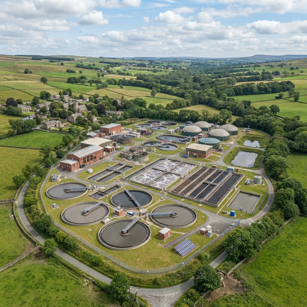
Environment Agency, published geospatial feeds and OpenStreetMap
Compare publicly available wastewater locations, treated-effluent discharge points and storm overflows before scoping drainage, pollution or planning work.
Editorial review
Reviewed by the Maplify Editorial Team. Editorial policy
Verification
Compare publicly available wastewater locations, treated-effluent discharge points and storm overflows before scoping drainage, pollution or planning work.
Treated-effluent discharge point
Published treated-effluent discharge location. A point is not proof of a sewage treatment plant operating here.
Point markerWastewater treatment works (OSM)
Community-mapped wastewater works; facilities may be missing or outdated.
Point markerStorm overflow (CSO)
Reported combined sewer overflow location; this marker does not mean sewage is discharging right now.
Point markerHistoric consented discharge
A 2019 mapped consent location; check the current Environment Agency public register for legal status.
Point markerCombine the public storm-overflow/CSO overlay with treated-effluent discharge sites and OpenStreetMap wastewater-treatment works. These are different records: a consent or discharge point is not automatically a treatment plant or a live sewage spill.
Company-area boundaries help identify the likely responsible sewerage undertaker, but cannot show every connection or service capacity. OpenStreetMap facilities are approximate and can be missing.
Sewerage capacity, odour, flood risk and discharge impacts all matter in early site appraisal. Published point data helps identify where to seek further operator and Environment Agency evidence.
A storm overflow location only identifies a potential release point; current discharge status and annual duration must be sourced from the corresponding monitoring programme.
For a development proposal, request a sewer connection and capacity assessment from the sewerage undertaker, and consider odour or other amenity impacts where an operating wastewater works is nearby.
Water consultants
Identify likely outfalls and published overflow records to follow up with regulatory evidence.
Developers
Spot wastewater-related constraints before commissioning capacity and drainage reports.
This layer is commonly checked alongside these related layers.
No. A CSO marker is a location, not a real-time discharge observation. Check the relevant company live feed or published monitoring data.
No. Public regulator points and community-mapped sites are incomplete and not substitutes for the operator asset register.
Open the map, generate a site report or save your search to come back to it later.
Professional disclaimer
Maplify is a screening and due-diligence tool. This layer does not constitute professional advice, a planning decision, or a legal determination of any kind. Always verify critical matters with the relevant local planning authority, the data provider, or a qualified professional before relying on this information for a transaction, planning application, or development decision.