
Editorial review
Reviewed by the Maplify Editorial Team. Editorial policy
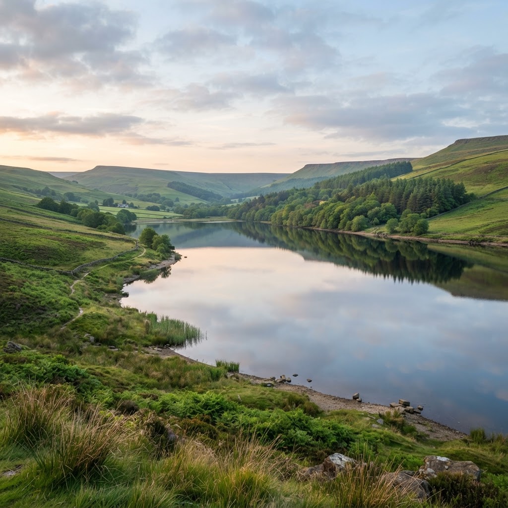
OpenStreetMap; Environment Agency reservoir flood mapping (separate overlay)
Compare reservoir outlines with separate Environment Agency flood-risk evidence when assessing water infrastructure and downstream sites.
Editorial review
Reviewed by the Maplify Editorial Team. Editorial policy
Verification
Compare reservoir outlines with separate Environment Agency flood-risk evidence when assessing water infrastructure and downstream sites.
Mapped reservoir extent (OSM)
Reservoir polygons from community mapping; some are used for irrigation, industry or recreation rather than drinking water.
Shaded areaReservoir flooding — separate overlay
Separate flood-scenario layer, not the footprint of a reservoir or an indication that it is unsafe.
Shaded areaMaplify displays reservoirs tagged in OpenStreetMap, including landuse=reservoir or natural=water plus water=reservoir. They can serve drinking-water, irrigation, industrial, amenity or other purposes.
The separate Reservoir Flood Maps overlay concerns flood extent under reservoir-failure scenarios; it is a different dataset and does not mean the reservoir is unsafe.
Reservoirs affect water resources, access, ecology, property amenity and some development screening decisions. Flood extent information can help identify where further risk evidence is needed.
Reservoir location alone gives no information about dam condition, operator, storage volume, current level, water quality or operational use.
If a site lies within published reservoir flood-extents, consult the current regulator guidance and commission competent flood-risk advice for the development context.
Environmental consultants
Scope nearby water bodies and related habitats.
Developers
Screen reservoir proximity and review separate downstream flood mapping.
This layer is commonly checked alongside these related layers.
No. OSM reservoir tags describe water bodies, not necessarily their ownership or supply purpose.
Reservoir locations and reservoir flooding are separate overlays so their different meanings remain clear.
Open the map, generate a site report or save your search to come back to it later.
Professional disclaimer
Maplify is a screening and due-diligence tool. This layer does not constitute professional advice, a planning decision, or a legal determination of any kind. Always verify critical matters with the relevant local planning authority, the data provider, or a qualified professional before relying on this information for a transaction, planning application, or development decision.