

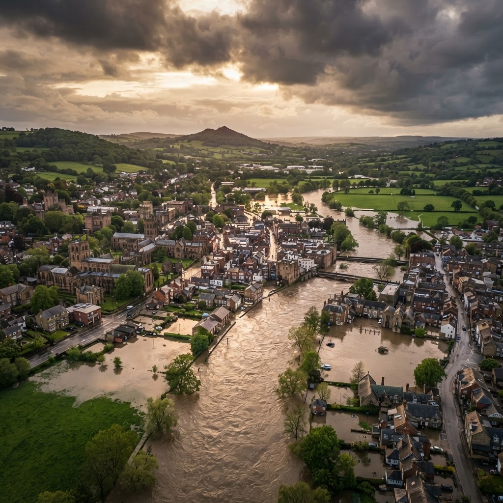
Flood Risk Screening · £24.99
Instant Flood Risk Report for Any UK Site
Search a postcode, draw your site boundary, and complete sign-up and payment right on the map to instantly download a branded PDF checking every Environment Agency flood layer against your site.
Trusted for due diligence by developers, solicitors, self-builders and land buyers

Find your site
Search a postcode, then click the map to draw your site boundary.
How to Order Your Flood Risk Report
- 1Search a UK postcode to jump straight to your site, then click on the map to draw its boundary (up to 20 acres) and click Finish Boundary.
- 2Enter a site name, address and reference in the card over the map, then sign up — this only takes a moment and lets us generate and save your report.
- 3Pay £24.99 securely via Stripe, right there in the same card, and download your branded PDF flood risk report immediately.
Every Flood Layer Checked
Red / Amber / Green Scoring
Instant PDF Download
What's Included in Your Flood Risk Report
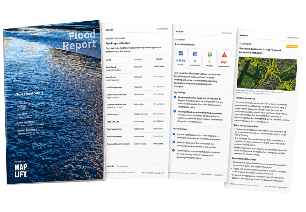
Your flood risk report checks the site you draw against every layer in Maplify's fixed flood registry — including EA Flood Zones 2 and 3, flood storage areas, surface water risk at the 1 in 30 and 1 in 100 levels, flood defences, flood alert and warning areas, main rivers, and recorded historic flood extents. Each applicable layer gets its own page with a map, a red/amber/green risk score, a plain-English explanation of what it means for your site, and recommended next steps.
See a Sample Report
This is an actual, unedited flood risk report generated by this tool for a real site near the River Ouse in York — the cover, layer pages, maps and narrative are exactly what you'll receive for your own site.
View Sample PDFFlood Risk Search by Postcode
Instead of manually panning and zooming to find your site, search any UK postcode directly above the map and it will jump straight to that location. This makes it fast to run a flood risk search for a specific address, street or development site anywhere in the UK before drawing the exact boundary you want checked.
Flood Risk Reports for Planning Applications and Property Searches
Sites in or near EA Flood Zone 2 or 3 usually need a site-specific Flood Risk Assessment submitted alongside a planning application, and lenders or conveyancers will often flag flood exposure during a property purchase. This report gives you an instant, documented starting point — covering fluvial flood zones, surface water risk, flood defences, warning areas, main rivers and recorded historic flooding — so you know where you stand before commissioning a full assessment or proceeding with a purchase.
A screening tool, not a substitute for professional advice
Traditional Flood Search vs Maplify
| Task | Traditional Method | With Maplify |
|---|---|---|
| Checking flood zones, surface water and defences | Search multiple separate Environment Agency map layers by hand | All 10 flood layers checked automatically against your exact boundary |
| Finding your site | Manually pan and zoom to locate an address | Search any UK postcode and jump straight there |
| Turnaround time | Days, if commissioning a consultant report | Instant PDF, available to download the moment payment clears |
| Cost | Often £150+ for a basic flood search | One-off £24.99 per site |
Who Uses This Flood Risk Report
Property Developers & Self-Builders
Screen a plot for flood constraints before committing to a purchase or spending on a full Flood Risk Assessment.
Solicitors & Conveyancers
Add an independent flood screening check alongside standard property searches during due diligence.
Land Buyers & Investors
Quickly rule out sites with material flood exposure before making an offer.
Planning Consultants & Architects
Get a documented starting point for the flood risk section of a planning application or feasibility study.
Every Flood Layer Checked, and Why It Matters
Important Limitations
- This report checks a fixed set of flood-related datasets for spatial intersection with your drawn boundary — it does not constitute a formal Flood Risk Assessment.
- Drawn boundaries are capped at 20 acres; larger sites should be split into smaller sections.
- Data is sourced from third-party Environment Agency datasets which Maplify does not control and cannot guarantee are complete, current or error-free.
- A layer marked as not applicable reflects the result of this automated check only, not a formal search result.
Related Flood Risk Tools & Guides
Frequently Asked Questions
How do I order a flood risk report?
Search a UK postcode to find your site, click on the map to draw its boundary, click Finish Boundary, then fill in the details card that appears over the map — sign up when prompted, then pay £24.99 to instantly unlock your PDF flood risk report.
Can I search by postcode instead of drawing on the map manually?
Yes — enter any UK postcode above the map and it will jump straight to that location, so you only need to draw the boundary itself.
Is there a maximum site size?
Yes, drawn boundaries are capped at 20 acres. If your site is larger, you can split it into smaller sections and order a report for each.
What does the flood risk report cover?
It checks every layer in Maplify's fixed flood registry against your drawn boundary, including EA Flood Zones 2 and 3, flood storage areas, surface water risk, flood defences, alert and warning areas, main rivers and recorded historic flooding — each rated with a red/amber/green risk score.
Can I see a sample report before I pay?
Yes — the sample report on this page is an actual, unedited report generated by this tool, so you can see exactly what your PDF will look like.
When can I download my report?
Your report is generated after sign-up and can be downloaded instantly once payment is confirmed — there is no waiting or manual processing.
How much does it cost?
A flood risk report costs £24.99 per site and is a one-off payment — there is no subscription required.
Is this the same as a Flood Risk Assessment?
No. This is an early-stage screening report, not a formal Flood Risk Assessment. Always confirm critical matters with the Environment Agency, a qualified flood risk consultant, or the local planning authority.
Can I use this report to support a planning application?
It's a useful early screening document to identify flood constraints before you commission a formal, site-specific Flood Risk Assessment — which is usually what's required to accompany a planning application on a site within Flood Zone 2 or 3.
Does it cover surface water flooding as well as river and coastal flooding?
Yes — alongside EA Flood Zones 2 and 3, the report checks both high (1 in 30) and medium (1 in 100) surface water flood risk, which is often missed by fluvial-only flood searches.
Ready to Check Your Site's Flood Risk?
Search your postcode, draw your boundary, and get your instant PDF report for £24.99.
Reviewed by the Maplify data & editorial team
Maplify displays official-source data for desktop screening and due diligence. We document where each dataset comes from, how it is processed, when it is checked and where its limitations matter.