
Editorial review
Reviewed by the Maplify Editorial Team. Editorial policy
Property Boundaries
Maplify helps you search and view Land Registry boundary data alongside planning and environmental constraints. Use it to understand a site's boundary context, neighbouring titles and key risks before buying, designing or appraising land.
Editorial review
Reviewed by the Maplify Editorial Team. Editorial policy
Primary source
Verification
Last checked September 2026. Methodology · Corrections
Explore indicative INSPIRE freehold polygons. These do not name owners or establish exact legal boundaries.
Try the free boundary search →Use the official service to identify the registered title and obtain documents. Online copies currently cost £7 each.
Search HM Land Registry →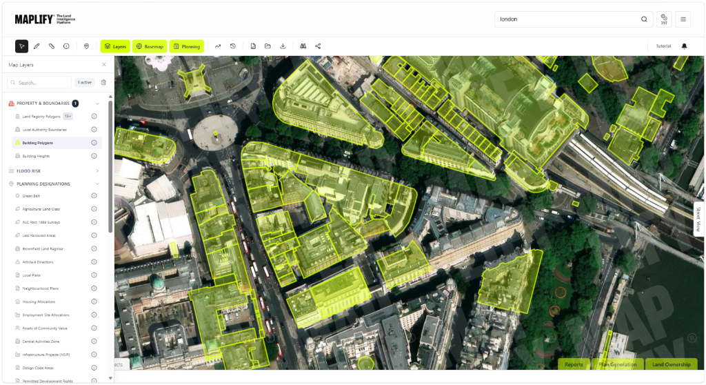
Search by Location
Click to Query
Title Information
Export Data
The HM Land Registry INSPIRE Index Polygons dataset shows the indicative position and extent of registered freehold land in England and Wales. It is a subset of the Index Polygons database, not a record of every registered leasehold extent. Each INSPIRE ID is distinct from a title number. Check the original HM Land Registry dataset documentation.
Each registered freehold or leasehold title has a title number, which is different from an INSPIRE polygon identifier. Confirm the registered title via the official Land Registry service before ordering documents.
Each title number links to two documents essential for property ownership verification:
The public HM Land Registry service currently charges £7 for an online title register or plan, and £11 for an official copy; check fees at HM Land Registry's online service. Maplify displays indicative INSPIRE polygons; downloaded title documents are not certified proof of ownership.
HM Land Registry operates under the general boundaries rule established by Section 60 of the Land Registration Act 2002. This means title plans show the approximate position of boundaries, not the exact legal line. Key implications of general boundaries:
Need a precise boundary?
HM Land Registry states that the legal extent of a title cannot be determined from the INSPIRE polygon. Do not rely on its measurements for conveyancing, building work or boundary litigation.
INSPIRE polygons are well suited to desktop research and early-stage screening:
Maplify's INSPIRE viewer clearly labels data as approximate and provides links to order official title documents for definitive boundary information.
Property developers use Land Registry title data throughout development processes:
View Land Registry boundaries overlaid with planning constraints on Maplify for comprehensive development site assessment.
Yes. Maplify displays indicative freehold INSPIRE polygons. The INSPIRE ID does not itself identify the legal title or owner.
No. Land Registry operates under the general boundaries rule. Title plans show approximate boundary positions, not the exact legal line. A professional survey is required for precise boundary determination.
Yes. Maplify allows you to view Land Registry boundaries alongside flood risk, Green Belt, heritage, environmental and other constraint layers.
No. Maplify is for screening, not resolving boundary disputes. Obtain appropriate title documents and legal or surveying advice.
INSPIRE maps do not name owners; obtain the correct title register from HM Land Registry. Online title registers currently cost £7.
View indicative freehold boundary mapping. The free plan provides 5 searches per month; title ownership is verified separately.
Open Map Viewer