

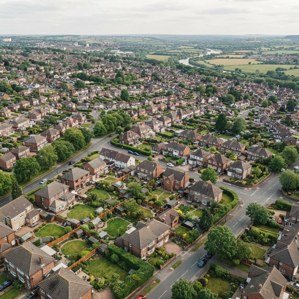
Source: HM Land Registry
Property Boundaries Map UK
Free UK Land Registry boundary maps, cadastral parcels, title number searches and administrative boundaries for England and Wales.
What This Layer Shows
This layer maps HM Land Registry INSPIRE Index Polygons — official cadastral parcels showing registered property extents in England and Wales — each linked to a unique title number, alongside ONS administrative boundaries including local authority districts, parishes, wards, parliamentary constituencies and census geography.
Boundaries are "general boundaries" under Land Registry rules — indicative of the approximate legal extent, not an exact fixed line, and are updated monthly.
Why It Matters
Confirming a property's registered boundary is a core part of due diligence before buying land, assembling a development site, or resolving a boundary query with a neighbour. Buyers, developers and solicitors check this layer to verify that a plot's extent matches what's described in the title deeds before proceeding.
Because Land Registry boundaries are general rather than precisely fixed, this layer is best used for initial screening — a determined boundary application or a chartered surveyor's measurement is needed for anything legally disputed.
How to Interpret the Map
Land Registry INSPIRE Index Polygons
Official cadastral parcel polygons for registered land in England and Wales. Each polygon links to a unique title number. Visible at zoom 15+. (Source: HM Land Registry)
Local Authority Districts
UK local authority district boundaries for planning jurisdiction and local services. (Source: ONS)
Parish Boundaries
Civil parish and town council boundaries covering England. (Source: ONS)
Planning and Development Implications
Development site assembly, valuation and planning applications all depend on an accurate understanding of a plot's registered extent — confirming this early avoids costly redesign if the buildable area turns out to be smaller than assumed. Administrative boundaries (local authority, parish, ward) determine which planning authority and local policies apply to a site.
Where a boundary is disputed or unclear, a formal Land Registry determined boundary application or an independent chartered surveyor's measurement is the appropriate next step, rather than relying on the general boundary shown here.
What to Do When a Site Is Affected
- 1Search the property boundary by postcode, address or title number on Maplify.
- 2Cross-check the mapped boundary against the title deeds and title plan.
- 3Confirm the local authority, parish and ward for planning jurisdiction purposes.
- 4Commission a chartered surveyor or a Land Registry determined boundary application for any dispute.
- 5Check the wider planning constraint layers for the same site once the boundary is confirmed.
This is general guidance, not professional or legal advice — confirm specifics with the relevant authority or a qualified professional.
Official Data Source
Data Freshness
Important Limitations
- Land Registry boundaries are "general boundaries" — indicative, not a precise legal boundary.
- This map does not replace a determined boundary application or a chartered surveyor's measurement for a dispute.
- Very recently registered plots may not yet appear if Land Registry has not published updated data.
- Administrative boundaries can be revised periodically by ONS and local authorities.
Common Use Cases
Property Buyers
Verify boundaries before buying and check plot sizes match title deeds.
Property Developers
Identify and measure land parcels for site assemblage and viability assessment.
Solicitors
Verify property extents and check for boundary encroachments during conveyancing.
Surveyors
Cross-reference general boundaries against site measurements.
Related Layers
Property boundary checks are commonly combined with these related searches.
Related Guides
Frequently Asked Questions
What are INSPIRE Index Polygons?
The Land Registry boundary map shows INSPIRE Index Polygons — official cadastral parcels showing registered property extents. Each polygon links to a unique title number and is updated monthly.
Are Land Registry boundaries legally definitive?
No. Boundaries shown are "general boundaries" — indicative of the approximate legal boundary, not an exact fixed line. Precise boundary disputes require a specific determined boundary application.
Can I search by title number?
Yes — search specific Land Registry title numbers on Maplify to find the exact registered property location and boundary.
How do I check administrative boundaries for a property?
Enable the Local Authority Districts, Parish, Ward and Constituency layers alongside the property boundary to see the full administrative context.
Is this free to use?
Yes. Property boundary and administrative boundary searches are free on Maplify without a paid subscription.
Search Property Boundaries on Maplify
Access Land Registry boundaries, title numbers and administrative boundaries instantly.
References and Methodology
Reviewed by the Maplify data & editorial team
Maplify displays official-source data for desktop screening and due diligence. We document where each dataset comes from, how it is processed, when it is checked and where its limitations matter.