

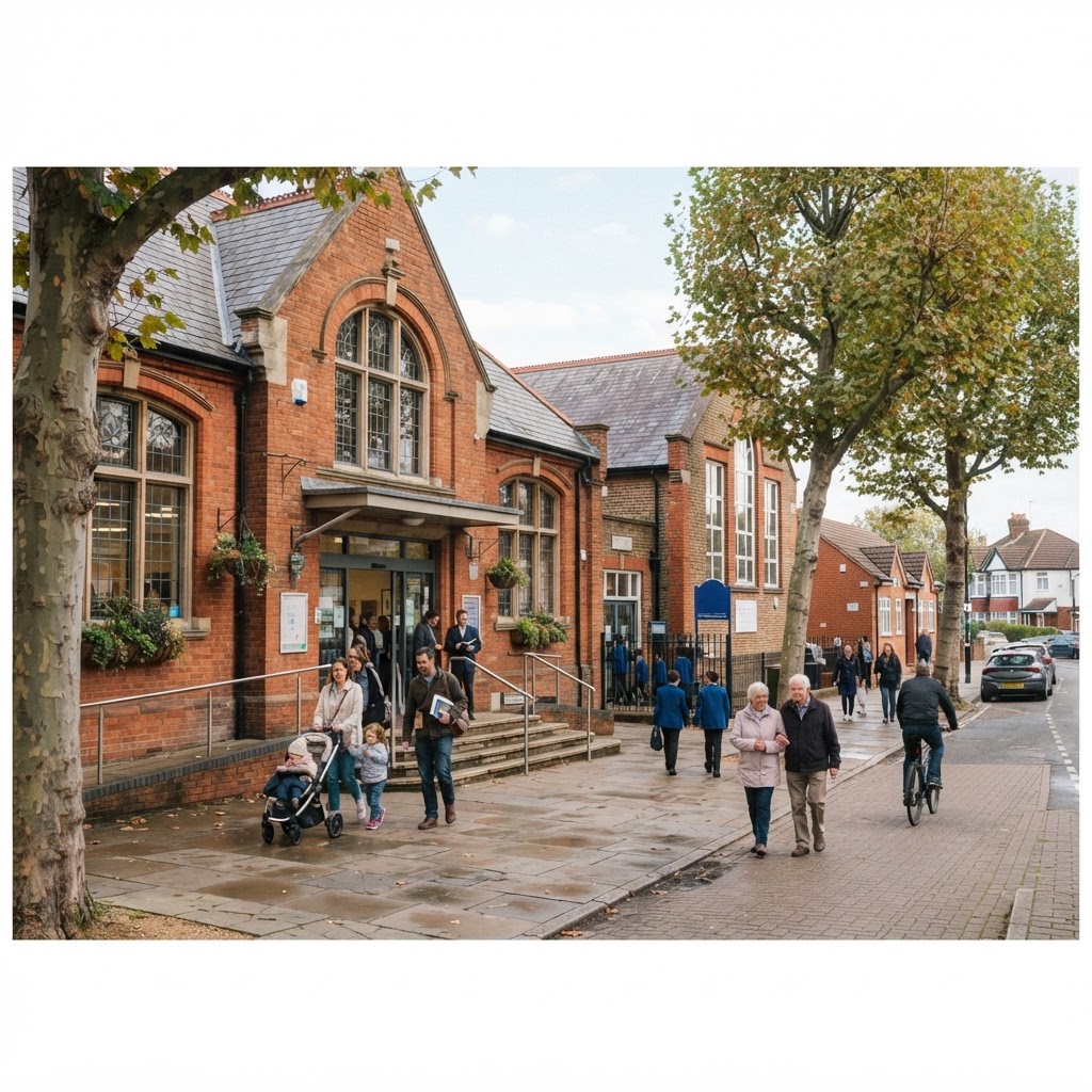
Source: OpenStreetMap
Public Services & Amenities Map UK
Search any UK location to see nearby schools, hospitals, GP surgeries and emergency services alongside your planning and site data.
Updated: continuously from OpenStreetMap · Last checked by Maplify: August 2026
What This Layer Shows
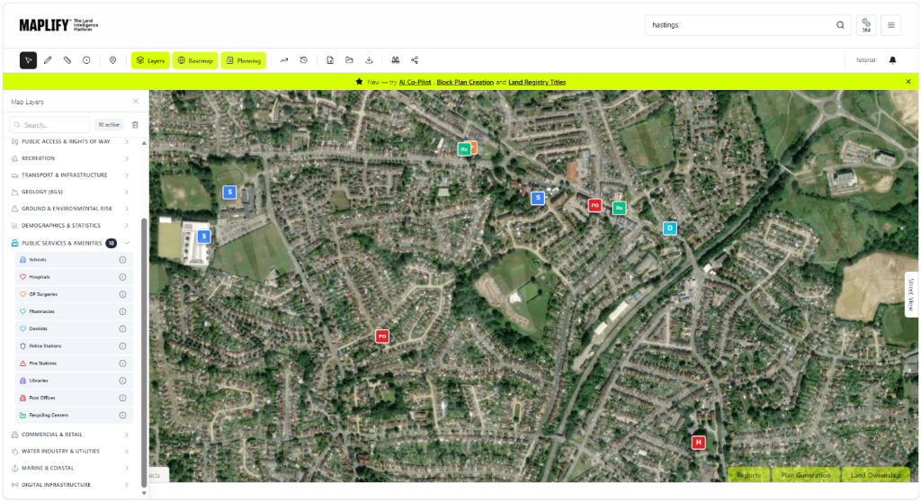
This layer maps public service facilities around any site: schools, hospitals, GP surgeries, pharmacies, dentists, police stations, fire stations, libraries, post offices and household waste recycling centres. Each facility is plotted as a point with its name and category, sourced from OpenStreetMap and loaded live as you browse the map.
Together these facilities give a quick read on how well-served an area is by essential public services, one of the most commonly cited factors in residential site sustainability and buyer appeal.
Why It Matters
Access to schools, healthcare and emergency services is a routine material consideration in planning applications for housing, and many Local Plans set sustainability criteria referencing walking or travel distance to these facilities. Developers, planning consultants and buyers all check this layer to understand what already serves a site before committing to it.
Capacity at nearby schools and GP surgeries can also become a live planning issue for larger residential schemes, where a local authority may seek developer contributions towards new or expanded facilities if existing provision is under pressure.
How to Interpret the Map
Schools
Primary and secondary school locations.
Hospitals, GP Surgeries, Pharmacies & Dentists
Healthcare facilities relevant to residential accessibility criteria.
Police & Fire Stations
Emergency service locations.
Libraries, Post Offices & Recycling Centres
Everyday community and civic amenities.
Public Services & Amenities Layer in the Maplify Map
Planning and Development Implications
Local Plans commonly reference proximity to schools, healthcare and emergency services within their sustainability and accessibility criteria for new housing, making this layer a useful early check when assessing a site's suitability. Where a proposal is large enough to place pressure on existing school places or GP capacity, the local authority may require developer contributions through a Section 106 agreement or the Community Infrastructure Levy.
This layer shows facility locations only — confirm current capacity, catchment areas and any required contributions directly with the relevant local authority and service providers.
What to Do Next
- 1Review which schools, healthcare and emergency facilities already serve the site's immediate area.
- 2Check catchment areas and current capacity directly with the local authority and NHS trust where relevant.
- 3Cross-check against the relevant Local Plan's sustainability and accessibility criteria for the proposed use.
- 4Factor potential Section 106 or Community Infrastructure Levy contributions into scheme viability for larger proposals.
- 5Check the Commercial & Retail layer for the same site for the fuller amenity picture.
This is general guidance, not professional or legal advice — confirm specifics with the relevant authority or a qualified professional.
Official Data Source
Data Freshness
Important Limitations
- OpenStreetMap is crowd-sourced — very recent openings, closures or relocations may not yet be reflected.
- Coverage density depends on local contribution levels and can be sparser in rural areas.
- This layer does not show school catchment boundaries, current capacity, or NHS registration areas.
- This map does not replace direct confirmation with the local authority or service provider for planning purposes.
Common Use Cases
Property Developers
Assess local service provision as part of site feasibility and sustainability criteria.
Planning Consultants
Support accessibility arguments and scope potential developer contributions.
Property Buyers
Check proximity to schools and healthcare before making an offer.
Surveyors
Factor local amenity provision into valuation reports.
Landowners
Understand what already surrounds a site before marketing it for development.
Related Layers
Public service checks are often run alongside these related layers.
Related Guides
Frequently Asked Questions
What public services does this layer show?
Schools, hospitals, GP surgeries, pharmacies, dentists, police stations, fire stations, libraries, post offices and household waste recycling centres, sourced from OpenStreetMap and loaded live for the visible map area.
Why do developers check nearby public services?
Access to schools, healthcare and emergency services is a common material consideration in residential planning applications and Local Plan sustainability criteria, and it directly affects buyer appeal.
Can I use this to check school catchment areas?
This layer shows school locations only, not catchment boundaries — check with the relevant local authority for the current catchment area serving a specific address.
How current is the public services data?
Data is sourced live from OpenStreetMap, a continuously updated crowd-sourced dataset, so most established facilities are captured, though very recent openings or closures may lag behind.
Does this layer include private healthcare providers?
Coverage depends on what has been mapped in OpenStreetMap and can include some private facilities, but the dataset is not filtered by NHS or private status.
Is public services data available UK-wide?
Coverage follows OpenStreetMap contribution levels, which are generally strong across UK towns and cities, though rural areas may show fewer mapped facilities.
Check Public Services & Amenities on Maplify
Open the map, generate a site report or save your search to come back to it later.
References and Methodology
Reviewed by the Maplify data & editorial team
Maplify displays official-source data for desktop screening and due diligence. We document where each dataset comes from, how it is processed, when it is checked and where its limitations matter.