
Source: Environment Agency / Local Authorities
Contaminated Land & Ground Risk Map UK
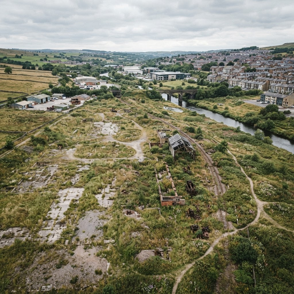
Search a site and screen Historic Landfill, Radon and Coal Mining risk together before purchase, planning or development.
What This Layer Shows
This page is a combined ground-risk screening workflow rather than a claim that one complete national Part 2A contaminated-land register exists. Maplify opens the Environment Agency Historic Landfill layer together with Radon and Coal Mining risk so a site can be checked against three common ground-risk indicators in one view.
Historic landfill can indicate landfill gas, leachate and made-ground concerns; radon mapping identifies areas where ground radon potential may require further checks or protective measures; and coal-mining risk highlights locations where historic mining can affect ground stability or trigger additional due diligence. Former industrial uses and locally determined contaminated land may require separate local-authority records and a professional environmental search.
Why It Matters
Purchasing contaminated land transfers liability for remediation to the new owner under Part 2A of the Environmental Protection Act, making this one of the more financially significant checks for a former industrial or landfill site. Buyers and developers check this layer to identify contamination risk before committing to a purchase.
For development sites, contamination status shapes the required site investigation, remediation strategy and overall project cost — sometimes running into hundreds of thousands of pounds for complex sites.
How to Interpret the Map
Historic landfill
Recorded former waste-disposal site — landfill gas, leachate and made-ground risks may require investigation.
Radon potential
Ground-radon screening from British Geological Survey data; higher potential can affect testing and protection requirements.
Coal mining risk
Coal-mining development-risk areas where historic workings or related features can require a specialist mining report or ground investigation.
Planning and Development Implications
Professional assessment follows structured phases from desk study through to remediation, summarised below.
Phase 1 Desk Study
£2,000 - £5,000
Historical map review, site walkover, environmental data search and preliminary risk assessment.
Phase 2 Site Investigation
£10,000 - £50,000
Trial pits and boreholes, soil and groundwater sampling, chemical analysis and quantitative risk assessment.
Phase 3 Remediation
£50,000+
Contaminated soil removal, groundwater treatment, gas protection and validation reporting.
Planning applications on land with a history of contamination typically require at least a Phase 1 Desk Study, escalating to Phase 2 and 3 where risk is confirmed.
What to Do When a Site Is Affected
- 1Commission a Phase 1 Desk Study before purchasing land with a history of industrial or landfill use.
- 2Escalate to a Phase 2 Site Investigation if the desk study identifies plausible contamination pathways.
- 3Budget for remediation costs where contamination is confirmed, which can reach £50,000 or more.
- 4Confirm Part 2A liability position with a solicitor before completing a purchase.
- 5Review Historic Landfill, Radon and Coal Mining together, then follow through to the dedicated Radon and Coal Mining pages where a flag is present.
This is general guidance, not professional or legal advice — confirm specifics with the relevant authority or a qualified professional.
Official Data Source
Data Freshness
Important Limitations
- There is no single complete national open polygon register covering every site determined as contaminated under Part 2A; local-authority records may contain information not represented here.
- Historic landfill records are historical datasets and can be incomplete, especially for older disposal activity.
- Radon and coal-mining layers are separate ground-risk indicators, not proof that a site is legally contaminated.
- This map is a screening tool — it does not replace an environmental search, Phase 1 Desk Study or site investigation where appropriate.
Common Use Cases
Property Buyers
Screen for contamination risk before purchasing land with an industrial history.
Property Developers
Scope remediation budgets and Phase 1–3 investigation requirements.
Environmental Consultants
Prepare desk studies and site investigation strategies.
Solicitors
Advise on Part 2A liability during conveyancing due diligence.
Related Layers
Contamination checks are commonly run alongside these related layers.
Frequently Asked Questions
How do I screen a site for contaminated-land risk?
Search the site on Maplify and use the Ground Risk layers together: Historic Landfill, Radon and Coal Mining. These are screening indicators rather than a complete national register of land determined as contaminated under Part 2A.
What is a Phase 1 Desk Study?
A Phase 1 Desk Study reviews historical maps, conducts a site walkover and searches environmental data to produce a preliminary contamination risk assessment, typically costing £2,000–£5,000.
Who is liable for contaminated land remediation?
Part 2A establishes a liability hierarchy: original polluters (Class A) are liable first; if none can be found, liability falls to current owners and occupiers (Class B).
Does buying contaminated land transfer liability to me?
Yes, potentially. Purchasing contaminated land can transfer Part 2A liability to the new owner, which is why environmental searches and a Phase 1 desk study are recommended before buying land with a history of industrial use.
How much does contaminated land remediation cost?
Costs vary widely — Phase 2 site investigation typically costs £10,000–£50,000, and Phase 3 remediation can exceed £50,000 depending on contamination complexity.
References and Methodology
Reviewed by the Maplify data & editorial team
Maplify displays official-source data for desktop screening and due diligence. We document where each dataset comes from, how it is processed, when it is checked and where its limitations matter.