

Source: The Coal Authority
Coal Mining Risk Map UK
Search any UK property to check for past mining activity, mine entries and shallow workings before you buy, plan or develop.
Updated: monthly for most layers, annually for surface coal resources · Last checked by Maplify: August 2026
What This Layer Shows
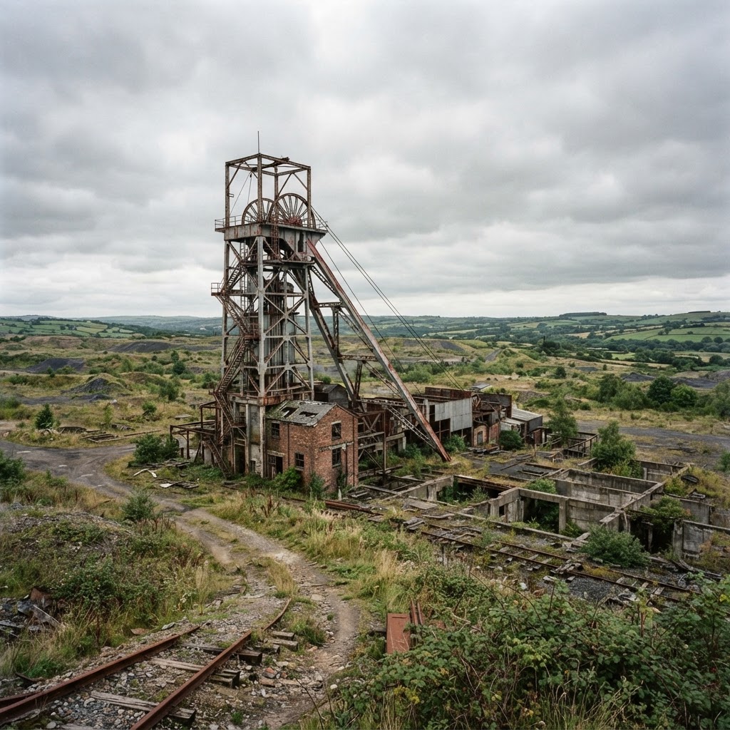
This layer maps Coal Authority Development High Risk Areas — locations where records indicate mining features that could pose a risk to surface stability — together with recorded mine entries, historic shallow workings and past subsidence claims. Around 7% of England and Wales falls within a Development High Risk Area, concentrated in historic coalfield regions including Yorkshire, the Midlands, the North East and South Wales.
The dataset also identifies Coal Mining Reporting Areas, where the standard CON29M search is typically required for conveyancing, alongside the location of shafts, adits and bell pits that remain relevant to ground stability assessment near a specific site.
Alongside Development High Risk Areas, Maplify also maps the Coal Authority's Surface Coal Resource layer, which flags areas with workable surface coal reserves that can affect planning decisions even outside the main risk zones. View both coal mining layers together on the map for the fullest picture of a site's mining history and resource status.
Why It Matters
Coal mining risk directly affects both conveyancing and planning: mortgage lenders routinely require a CON29M report for properties in flagged areas, and planning applications within a Development High Risk Area typically require a Coal Mining Risk Assessment prepared by a competent person. Buyers, developers and surveyors check this layer early to anticipate the additional cost and time these reports add to a transaction or application.
Ground stability issues from historic shallow mining can also affect buildings insurance, sometimes requiring specific mining subsidence cover, making this one of the more financially material checks for property in former coalfield areas.
How to Interpret the Map
Development High Risk Area
Mining features recorded that could pose a risk to surface stability — a Coal Mining Risk Assessment is typically required for planning.
Mine entries
Recorded shaft and adit locations relevant to ground stability near a specific site.
Coal Mining Reporting Area
A CON29M search is typically required for conveyancing transactions here.
Planning and Development Implications
Planning applications within a Development High Risk Area typically require a Coal Mining Risk Assessment (CMRA) — a report prepared by a competent person assessing mining hazards on the site and proposing remediation where needed, commonly costing £1,500–£5,000 or more depending on site complexity. This is separate from, and in addition to, the CON29M search used for conveyancing.
Where shallow historic workings or mine entries are close to a proposed building footprint, remediation such as grouting or engineered foundations may be required before development can proceed, adding cost and technical complexity to the scheme.
What to Do When a Site Is Affected
- 1Order a CON29M report if the site is in a Coal Mining Reporting Area and a transaction is proceeding.
- 2Commission a Coal Mining Risk Assessment from a competent person for planning applications in a Development High Risk Area.
- 3Check the exact location of any recorded mine entries relative to the proposed building footprint.
- 4Confirm buildings insurance covers mining subsidence for properties in affected areas.
- 5Check the wider Geology & Ground Risk layers for the same site for the fuller ground stability picture.
This is general guidance, not professional or legal advice — confirm specifics with the relevant authority or a qualified professional.
Official Data Source
Data Freshness
Important Limitations
- This map is a screening tool — it does not replace the official CON29M Coal Mining Report required for conveyancing.
- Not every historic mining feature is fully recorded; absence of a flag is not a guarantee of no risk.
- A Coal Mining Risk Assessment for planning purposes must be prepared by a competent person, not derived from this map alone.
- Confirm insurance requirements directly with your insurer for properties in mining-affected areas.
Common Use Cases
Property Developers
Screen sites for CMRA and remediation requirements before committing to acquisition.
Solicitors
Confirm whether a CON29M search is required during conveyancing due diligence.
Surveyors
Factor mining risk into valuation and insurance advice.
Planning Consultants
Advise on the CMRA process and likely remediation conditions.
Architects
Design foundations that account for shallow mining risk.
Landowners
Understand ground stability risk before commissioning development or land management works.
Related Layers
Coal mining checks are commonly run alongside these related layers.
Related Guides
Frequently Asked Questions
How do I check coal mining risk for a property?
Search the property on Maplify and enable the Development High Risk Areas layer. If the property falls within a flagged area, a CON29M coal mining report will typically be required for the transaction.
What is a CON29M report?
It is the standard coal mining search used in conveyancing, revealing mine entries within 20 metres, historic shallow workings and any subsidence claims history. It costs roughly £50–£100 and is usually valid for six months.
Do mortgage lenders require a coal mining search?
Yes, most mortgage lenders require a CON29M report for properties in areas the Coal Authority has flagged, and may apply stricter lending criteria if risk is identified.
What is a Coal Mining Risk Assessment?
A CMRA is a report prepared by a competent person assessing mining hazards on a site and proposing remediation where needed. It is commonly required for planning applications in Development High Risk Areas and costs roughly £1,500–£5,000+.
Does coal mining risk affect insurance?
It can. Buildings insurance in mining-affected areas may need to specifically include mining subsidence cover — check with your insurer before completing a purchase.
How much of England and Wales is affected by coal mining risk?
Around 7% of England and Wales sits within a Coal Authority Development High Risk Area, concentrated in historic coalfield regions such as Yorkshire, the Midlands, the North East and South Wales.
Check Coal Mining Risk on Maplify
Open the map, generate a site report or save your search to come back to it later.
References and Methodology
Reviewed by the Maplify data & editorial team
Maplify displays official-source data for desktop screening and due diligence. We document where each dataset comes from, how it is processed, when it is checked and where its limitations matter.