
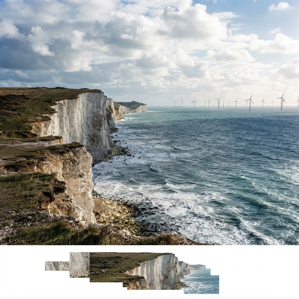
Source: Marine Management Organisation
Marine & Coastal Map UK
Explore offshore wind farms, marine spatial plans, shipping routes, subsea cables and marine conservation zones around the UK coast on one interactive map.
What This Layer Shows
This layer maps the UK's marine spatial data: over 14GW of operational offshore wind capacity and 40GW+ in the development pipeline (shown across operational, under-construction, consented and leased stages), Marine Management Organisation marine plan areas, shipping routes and Traffic Separation Schemes, subsea telecommunications and power cable routes, and Marine Conservation Zones.
Together these give a full picture of activity and constraint across the UK marine area and coastal waters.
Why It Matters
Marine spatial planning affects any activity in or near UK waters, from offshore construction and cable-laying to fishing, dredging and coastal development. Developers, marine surveyors and environmental consultants check this layer to identify overlapping licensed areas, conservation designations and navigation constraints before proposing seabed works.
Subsea cables in particular carry significant liability risk if damaged, making it essential to check cable routes before any anchoring, dredging or construction activity near the coast or offshore.
How to Interpret the Map
Offshore wind farm (by stage)
Operational, under-construction, consented or leased development area, with export cable corridors.
Marine Conservation Zone
Protected habitat and species area — activity may require Natural England or MMO consultation.
Subsea cable
Telecommunications or power cable route — anchoring or works nearby carry strict restrictions.
Planning and Development Implications
A Marine Licence from the Marine Management Organisation is required for deposits, removals or construction in the UK marine area, with major projects also requiring Environmental Impact Assessment. Offshore wind farms over 100MW are Nationally Significant Infrastructure Projects requiring a Development Consent Order from the Planning Inspectorate, following a public examination process.
Works near a Marine Conservation Zone or subsea cable typically require additional consultation and technical justification before a licence can be granted.
What to Do When a Site Is Affected
- 1Confirm current development status of nearby offshore wind farms with the MMO or Crown Estate.
- 2Check exact subsea cable positions with cable owners before any seabed activity.
- 3Apply for a Marine Licence from the MMO for any deposit, removal or construction activity.
- 4Assess Marine Conservation Zone impact where a proposal is nearby or overlapping.
- 5Check the Rivers, Lakes and Water Map and Flood Risk Maps for the fuller coastal water picture.
This is general guidance, not professional or legal advice — confirm specifics with the relevant authority or a qualified professional.
Official Data Source
Data Freshness
Important Limitations
- Development status (operational, consented, leased) can change between data refreshes — verify current status with the MMO or Crown Estate.
- This map does not replace the Marine Licence application process or Environmental Impact Assessment.
- Subsea cable routes are shown for awareness; always verify exact positions with cable owners before any seabed activity.
- Marine Conservation Zone boundaries should be confirmed with Natural England or the relevant Inshore Fisheries and Conservation Authority.
Common Use Cases
Marine Developers
Assess licensing and consultation requirements before proposing seabed works.
Environmental Consultants
Scope Marine Conservation Zone impact assessments.
Surveyors
Check subsea cable and navigation constraints before marine survey work.
Coastal Landowners
Understand nearby marine activity that could affect coastal property.
Related Layers
Marine and coastal checks are often run alongside these related searches.
Frequently Asked Questions
What marine data does the map cover?
Offshore wind farms and lease zones, Marine Management Organisation marine plan areas, shipping routes, subsea telecommunications and power cables, and Marine Conservation Zones.
Do I need a licence to carry out works in UK waters?
Yes. A Marine Licence from the Marine Management Organisation is required for deposits, removals or construction in the UK marine area, and major projects also require Environmental Impact Assessment.
Are offshore wind farms shown as operational or planned?
The map distinguishes operational, under-construction, consented and leased development stages.
Can I check for subsea cables before planning marine activity?
Yes — subsea telecommunications and power cable routes are shown, important because anchoring or works near cables carries strict restrictions and significant liability if a cable is damaged.
Do offshore wind farms over 100MW need special consent?
Yes. Offshore wind farms over 100MW are Nationally Significant Infrastructure Projects requiring a Development Consent Order from the Planning Inspectorate.
References and Methodology
Reviewed by the Maplify data & editorial team
Maplify displays official-source data for desktop screening and due diligence. We document where each dataset comes from, how it is processed, when it is checked and where its limitations matter.