
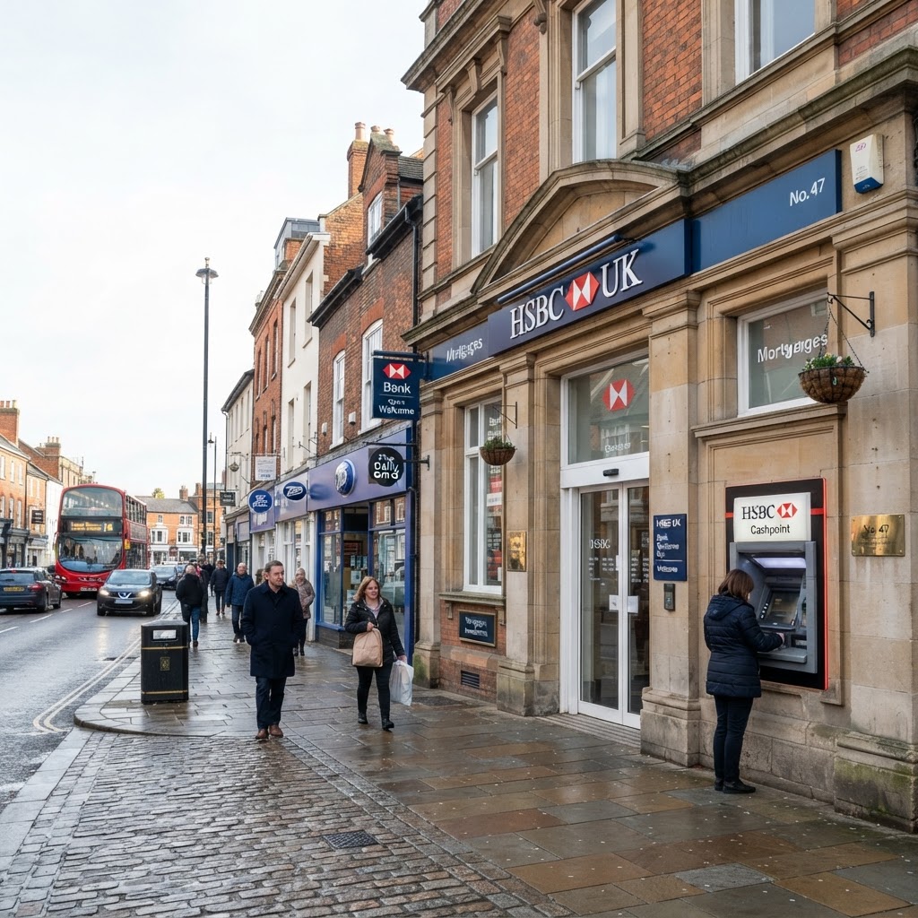
Source: OpenStreetMap
Banks & ATMs Map UK
Search any UK location to see nearby bank branches and cash machines alongside your planning and site data.
Practical layer guide · Local services & amenities
Check and interpret Banks & ATMs
What to check
Locate bank branches and cash machines for high-street accessibility checks.
Before relying on the result
Cash access and opening hours can change independently of mapping updates.
What This Layer Shows
This layer maps bank branches and ATMs around any site, sourced from OpenStreetMap and loaded live as you browse the map. Each location is plotted as a point with its name where available.
It gives a quick read on banking access in an area, one of several everyday amenity factors considered alongside retail and commercial provision.
Why It Matters
Access to banking facilities is a factor referenced in some Local Plan sustainability criteria for new housing and is relevant context for high street and mixed-use retail proposals, particularly given the recent trend of bank branch closures across UK town centres.
How to Interpret the Map
Bank marker
Bank branch location as recorded in OpenStreetMap.
ATM marker
Standalone cash machine location as recorded in OpenStreetMap.
Planning and Development Implications
Banking provision can feature in town centre and high street vitality assessments, and its loss or retention is sometimes a material consideration in change-of-use applications affecting former bank premises. This layer is a screening aid rather than a substitute for a dedicated town centre assessment where one is required.
What to Do Next
- 1Review which banks and ATMs already serve the site's immediate area.
- 2Consider banking provision as part of a wider town centre or retail vitality assessment where relevant.
- 3Check the wider Commercial & Retail layer for the fuller amenity picture.
This is general guidance, not professional or legal advice — confirm specifics with the relevant authority or a qualified professional.
Official Data Source
Data Freshness
Important Limitations
- OpenStreetMap is crowd-sourced — branch closures and openings may not yet be reflected.
- Coverage density depends on local contribution levels and can be sparser in rural areas.
- This layer does not indicate opening hours or whether a branch offers full banking services.
Common Use Cases
Property Developers
Assess everyday amenity provision as part of site feasibility.
Planning Consultants
Support town centre and retail vitality assessments.
Property Buyers
Check banking access before making an offer.
Related Layers
Banking checks are often run alongside these related layers.
Frequently Asked Questions
What does the Banks & ATMs layer show?
Bank branch and ATM/cash machine locations, sourced from OpenStreetMap and loaded live for the visible map area.
Why do developers check nearby banking facilities?
Access to banking is a factor in residential and commercial sustainability criteria, and existing provision is relevant context for retail and mixed-use proposals.
How current is the banks and ATMs data?
Data is sourced live from OpenStreetMap, a continuously updated crowd-sourced dataset, so most established branches are captured, though branch closures have accelerated in recent years and very recent changes may lag behind.
Check Banks & ATMs on Maplify
Open the map, generate a site report or save your search to come back to it later.
References and Methodology
Reviewed by the Maplify data & editorial team
Maplify displays official-source data for desktop screening and due diligence. We document where each dataset comes from, how it is processed, when it is checked and where its limitations matter.