
FREE UK POSTCODE MAP · NO ACCOUNT FOR THE PREVIEW
Free planning constraints checker by postcode
Find a postcode, see its location on an interactive map and preview selected published planning designations. Create a free Maplify account to investigate the actual site across more planning, heritage, flood and environmental layers.
Check your postcode
Free first look · UK postcode search
Postcode location, local authority and — in England when the source responds — Green Belt and conservation area records at the postcode centre.
Interactive map preview
See where a postcode sits on the map
Start with a UK-wide map, then enter any full UK postcode above to centre the map and see a selected public-data preview.
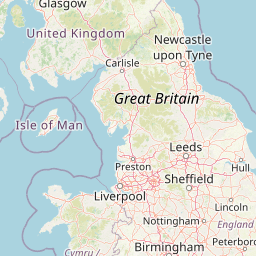
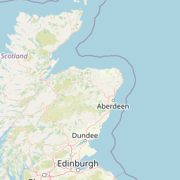
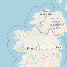

Your free preview
Locate the postcode
View a real street-level map centred on the postcode.
See the council area
Identify the administrative district returned for your postcode.
Preview published constraints
Check two public planning-data categories in England when available.
Go beyond the postcode
What else should you check before buying or developing land?
A planning constraints search is useful because restrictions rarely occur in isolation. A site may be affected by more than one policy, environmental designation or legal issue. Start with the free preview, then use your Maplify account to select the exact site and investigate the following layers and records where published.
Flood zones & surface water
Explore published flood mapping and see where further risk checks may be needed.
Unlock with an accountArticle 4 directions & planning policy
Review local restrictions and the relevant policy context.
Unlock with an accountListed buildings & heritage
Investigate protected buildings, scheduled monuments and heritage settings.
Unlock with an accountTrees, habitats & environmental designations
Screen for TPOs, protected sites and relevant environmental layers.
Unlock with an accountLand parcels, access & ownership
Explore available parcel information and sources for legal title checks.
Unlock with an accountSite-level map & report tools
Select the actual site, investigate available layers and prepare your next steps.
Unlock with an accountNo instant planning verdict: Maplify helps you explore published evidence. It cannot grant planning permission, certify title boundaries or replace formal council searches. Some tools and reports may use search credits or paid plans.
How it works
From a postcode to a site investigation
1. Enter a postcode
Use a full UK postcode to place a marker on the public map. You can see the district and postcode centre without creating an account.
2. Review your preview
For locations in England, we request selected public designation records for the reference point. If the data service cannot respond, we say so.
3. Create an account to go deeper
Open Maplify with your postcode carried over, inspect the actual site and explore additional available planning, heritage and environmental layers.
A useful first check
What are planning constraints on land?
Planning constraints are recorded designations, statutory protections and relevant policy considerations that can affect what you are allowed to build, alter or use land for. Some restrictions are site-wide; others affect particular buildings, trees, floodplain areas or parts of a parcel.
Finding a designation is the beginning of a planning assessment, not an automatic refusal. Conversely, a map with no visible constraints is not evidence that a proposal will be approved.
Read the full planning constraints map guidePlanning policy and land use
Start with the local planning authority, adopted development plan, any site allocation and other relevant national policy. Green Belt is a policy designation; a local plan or planning history may also matter.
Heritage and local restrictions
Conservation areas, listed buildings, scheduled monuments and Article 4 directions can affect proposed works. Local records may contain additional information not present in a national map.
Flooding, trees and ecology
Investigate river and sea flood zones, surface water risk, tree preservation orders, ancient woodland, protected habitats and other environmental designations. Different publishers maintain different datasets.
Land charges and legal matters
A map preview does not constitute a local land charges search or establish ownership. Land Registry documents, local authority records, rights of access and legal advice may be needed.
Ready for your next step?
Unlock the full planning picture for your site.
Your public preview is a starting point. Create a Maplify account to inspect more layers and available site information, save your work and use the tools included with your access.
Frequently asked questions
Planning constraints by postcode: common questions
Straight answers about what a free postcode check can and cannot tell you.
Sources, coverage and limitations
Postcode location and administrative district are obtained from postcodes.io. For English postcodes, the free preview makes a point query against the Planning Data API for Green Belt and conservation areas. Data coverage, update dates and geographical precision vary. A postcode centroid may fall outside an affected property even where a constraint touches part of the actual parcel. This preview is informational and does not certify that an area is free of constraints.
For formal investigations, consult the HM Land Registry local land charges service, the relevant council and appropriate professionals. For flood risk, use the official Environment Agency long-term flood risk service in England.