
Source: OpenStreetMap
Emergency Services Map UK
Search any UK location to see nearby police and fire stations alongside your planning and site data.
What This Layer Shows
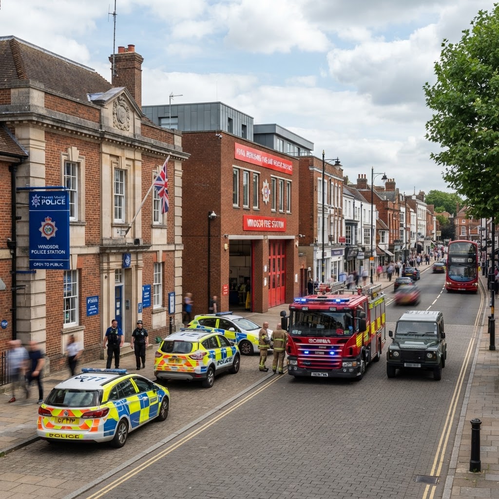
This layer maps emergency service facilities around any site: police stations and fire stations. Each facility is plotted as a point with its name, sourced from OpenStreetMap and loaded live as you browse the map.
It gives a quick read on emergency service coverage in an area, a factor sometimes considered for larger developments or schemes with vulnerable occupiers.
Why It Matters
While emergency service proximity is not usually a primary planning consideration for standard residential schemes, it can be relevant for larger developments, remote or rural sites, and uses involving vulnerable occupiers such as care homes or schools, where access and response coverage may be raised by consultees.
Developers and planning consultants sometimes check this layer alongside wider infrastructure to build a complete picture of an area before committing to a site.
How to Interpret the Map
Police Stations
Police station locations as recorded in OpenStreetMap.
Fire Stations
Fire and rescue station locations as recorded in OpenStreetMap.
Planning and Development Implications
Emergency service coverage is not a routine determining factor for most residential or commercial planning applications, but it can be raised as a consultee consideration for large-scale developments or specialist uses such as care facilities. This layer supports an initial screening view of what already exists nearby.
This layer shows facility locations only — confirm response coverage and operational matters directly with the relevant police force or fire and rescue service.
What to Do Next
- 1Review which police and fire stations already serve the site's immediate area.
- 2For larger schemes or vulnerable-occupier uses, consult the relevant emergency service as part of pre-application engagement.
- 3Check the wider Public Services & Amenities layer for the fuller picture.
This is general guidance, not professional or legal advice — confirm specifics with the relevant authority or a qualified professional.
Official Data Source
Data Freshness
Important Limitations
- OpenStreetMap is crowd-sourced — very recent closures or relocations may not yet be reflected.
- Coverage density depends on local contribution levels and can be sparser in rural areas.
- This layer does not show response time coverage or operational service areas.
Common Use Cases
Property Developers
Screen large sites for wider infrastructure and service context.
Planning Consultants
Support pre-application engagement for specialist or large-scale uses.
Care & Education Providers
Consider emergency service proximity for vulnerable-occupier schemes.
Related Layers
Emergency services checks are often run alongside these related layers.
Frequently Asked Questions
What does the Emergency Services layer show?
Police station and fire station locations, sourced from OpenStreetMap and loaded live for the visible map area.
Why check emergency service locations near a site?
Response times and service coverage can be a relevant consideration for large developments, remote sites, or schemes involving vulnerable occupiers such as care homes.
Does this layer show response times?
No, only facility locations. Response time coverage is a matter for the relevant police force or fire and rescue service, not shown by this layer.
How current is the emergency services data?
Data is sourced live from OpenStreetMap, a continuously updated crowd-sourced dataset, so established stations are captured well, though very recent closures or relocations may lag behind.
References and Methodology
Reviewed by the Maplify data & editorial team
Maplify displays official-source data for desktop screening and due diligence. We document where each dataset comes from, how it is processed, when it is checked and where its limitations matter.