
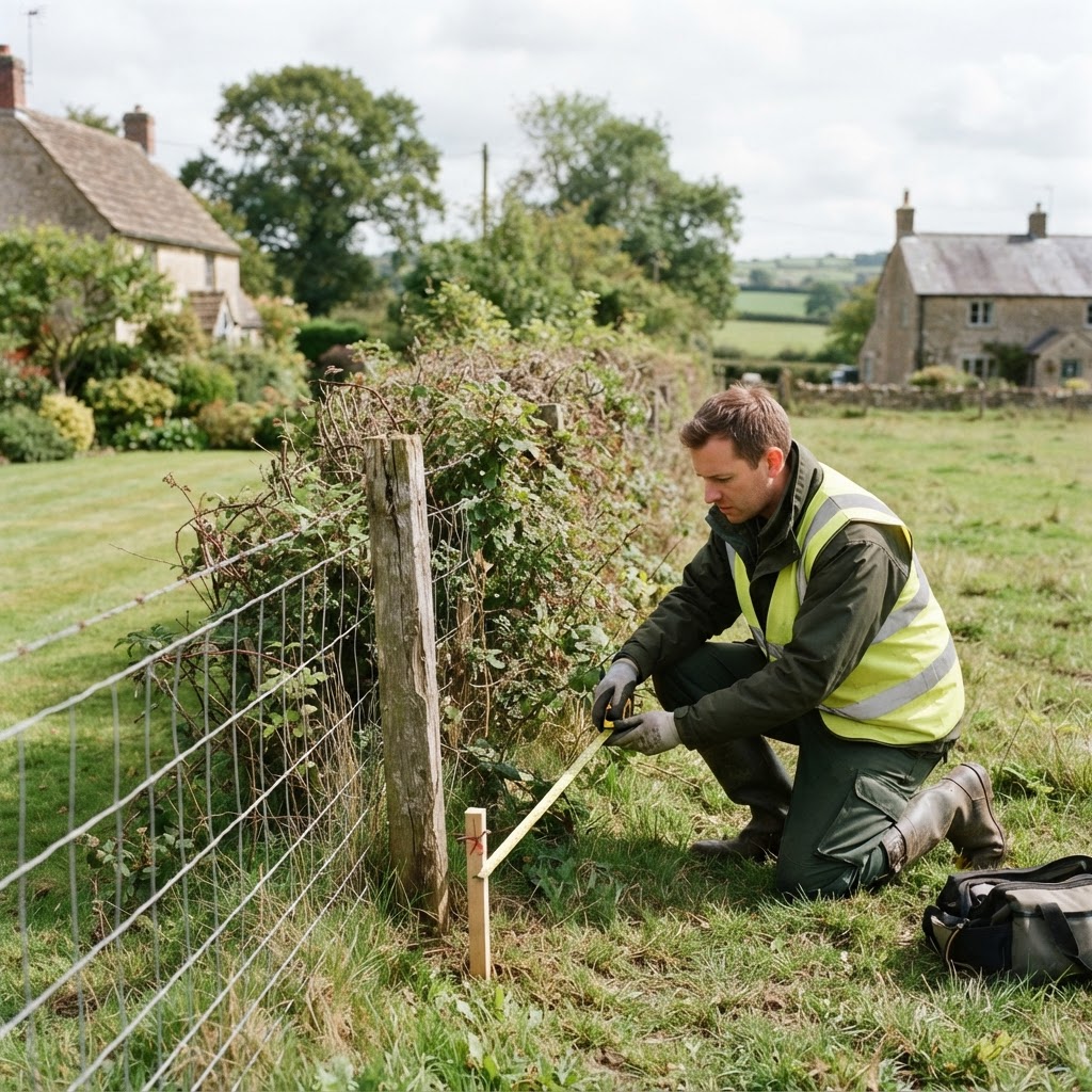
Use Case: Land & Boundary Verification
Verify a Land Boundary Before a Dispute Starts
Compare a Land Registry title boundary against the physical site, adjoining ownership and historic imagery — all from one map.
What This Workflow Covers
Boundary questions come up constantly in property transactions, disputes and development projects: does the registered title match the fence line, who owns the strip of land in question, and has the boundary always been in this position. Maplify brings together the Land Registry title boundary, adjoining ownership records and historic aerial imagery on one map, so these questions can be answered from your desk before escalating to a formal survey.
This workflow is a first step, not a final legal answer — but it often resolves the question entirely, or clarifies exactly what evidence a formal boundary determination would need to address.
Traditional Method vs Maplify
| Task | Traditional Method | With Maplify |
|---|---|---|
| View the registered title boundary | Order a title plan from HM Land Registry and interpret it manually against an OS map | Title boundary shown directly on the interactive map |
| Check adjoining ownership | Order a separate title document for each adjoining parcel | Adjoining ownership visible on the same map view |
| Review historic boundary position | Request historic aerial photography from a specialist archive | Historic imagery tool built into the platform |
| Measure a disputed boundary line | Commission a site survey for basic measurements | Built-in measure tool for a fast approximate check |
| Time to first-pass boundary check | Days, waiting on ordered documents | Minutes, self-serve |
Why It Matters
Boundary disputes are notoriously expensive to resolve once they escalate to legal action — often costing far more than the value of the land in question. Understanding the situation early, with clear evidence, gives homeowners and professionals the chance to resolve a disagreement informally with a neighbour, or to know when a formal RICS boundary survey is genuinely justified.
For solicitors and surveyors, having this evidence assembled quickly also speeds up advising a client on the merits of pursuing — or not pursuing — a boundary claim.
Worked Example
A homeowner believes a neighbour's new fence has been built over their registered boundary line.
- They search their address on Maplify and overlay the Land Registry title boundary.
- The title boundary appears to sit around a metre inside the new fence line.
- Historic imagery shows the previous fence, removed six months ago, was positioned along the original boundary.
- The homeowner uses this evidence to raise the issue informally with their neighbour before involving solicitors.
How to Get Started
- 1Search the property address on the map.
- 2Overlay the Land Registry title boundary against the site.
- 3Check adjoining ownership records if a neighbouring parcel is involved.
- 4Use historic imagery to review how the boundary has changed over time.
- 5Take the evidence to a solicitor or RICS surveyor if a formal resolution is needed.
This is general guidance, not professional or legal advice — confirm specifics with the relevant authority or a qualified professional.
What's Included
Important Limitations
- Land Registry boundaries follow the general boundaries rule and are indicative, not a legally definitive boundary line.
- Maplify does not replace a RICS boundary survey or a formal Land Registry determination for a legally binding outcome.
- Historic imagery availability and resolution vary by location and date.
Who Uses This Workflow
Homeowners
Check a boundary before or during a dispute with a neighbour.
Solicitors
Assemble evidence to advise a client on a boundary matter.
Surveyors
Cross-check registered boundaries against a measured survey.
Developers
Confirm a site's exact extent before finalising an acquisition.
Related Use Cases
Explore other ways professionals use Maplify for property research.
Frequently Asked Questions
How do I check my property's legal boundary?
Search your address on Maplify to see the HM Land Registry title boundary overlaid on the map, then compare it against aerial imagery or a physical site visit to spot any discrepancy.
Are Land Registry boundaries exact?
No. HM Land Registry boundaries follow the "general boundaries rule" — they show the approximate position of a boundary, not its exact legal line, unless a boundary has been formally determined.
How can Maplify help with a boundary dispute?
Maplify lets you compare the registered title boundary against adjoining titles, aerial imagery and historic imagery, giving you an evidence base to discuss with a neighbour, solicitor or surveyor before a dispute escalates.
Can I check who owns the land next to mine?
Yes. Where available, Maplify shows the registered proprietor of adjoining titles, including company ownership records, which is useful context for boundary discussions or potential land assembly.
Does Maplify replace a boundary survey?
No. For a legally binding boundary determination, a RICS chartered surveyor and a formal Land Registry application are required. Maplify helps you understand the situation and decide whether that step is necessary.
Can I use historic imagery to support a boundary claim?
Yes. Maplify's historic imagery tool lets you view aerial photography of a site over time, useful evidence for showing how a boundary feature such as a hedge or fence has changed.
Check Your Boundary Today
Compare a Land Registry title boundary against the physical site in minutes.