
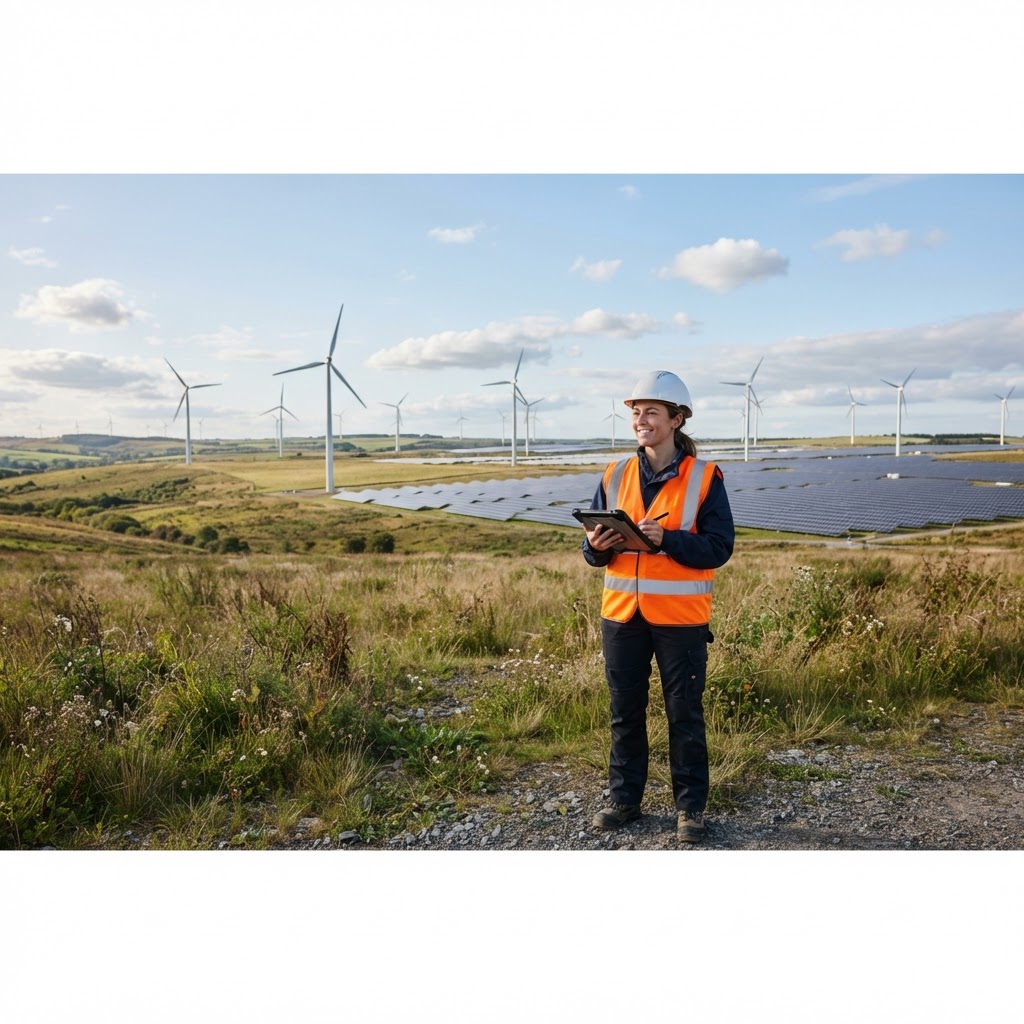
For Renewable Energy Developers
Site Screening for Solar, Wind & Battery Storage
Screen candidate land for renewable energy projects — landscape designations, ecology constraints, agricultural land grade and infrastructure, all on one map.
What Maplify Offers Renewable Energy Developers
Solar, onshore wind and battery storage schemes each carry their own site-selection constraints — landscape sensitivity, ecology designations, agricultural land grade and grid proximity chief among them. Maplify brings these datasets together on one map so developers can screen a shortlist of candidate sites quickly, before committing budget to detailed technical studies.
Search or draw a boundary around a candidate parcel and instantly see Green Belt, AONB / National Landscapes, National Parks, SSSI, SAC/SPA/Ramsar sites, ancient woodland, agricultural land classification and heritage designations overlaid together.
Why It Matters
Renewable energy planning applications attract close scrutiny of landscape and ecological impact, and local planning policy frequently discourages development on the best agricultural land. Screening these factors before a site is shortlisted reduces the risk of a scheme being refused late in the process, after significant development costs have already been incurred.
For developers managing a pipeline of prospective sites across multiple regions, a consistent, fast screening process helps prioritise the sites most likely to secure planning consent.
Traditional Site Screening vs Maplify
| Task | Traditional Method | With Maplify |
|---|---|---|
| Check landscape designations | Cross-reference Natural England and local authority landscape character maps separately | Instant overlay on the interactive map |
| Check agricultural land classification | Request ALC data or commission a soil survey | ALC grade layer built into the map |
| Check ecology designations | Search multiple statutory and non-statutory ecology datasets | SSSI, SAC/SPA, ancient woodland shown together |
| Screen multiple candidate sites | Repeat manual research per site, often taking days each | Screen a shortlist in the same session |
How to Screen a Renewable Energy Site
- 1Draw or search the boundary of a candidate site.
- 2Switch on landscape, ecology and Green Belt layers to check designations.
- 3Check agricultural land classification to assess policy sensitivity.
- 4Review nearby infrastructure and access considerations.
- 5Export a feasibility report to share with your planning and environmental consultants.
This is general guidance, not professional or legal advice — confirm specifics with the relevant authority or a qualified professional.
What's Included
Important Limitations
- Maplify is a desktop screening tool — it does not replace formal ecology surveys, landscape and visual impact assessments or grid connection studies.
- Constraint data reflects currently published designations and should be verified with the relevant authority before submission.
- Grid capacity and connection costs are not shown and must be confirmed with the relevant network operator.
Common Use Cases
Solar Developers
Screen land for ground-mounted solar, avoiding high-grade agricultural land and landscape-sensitive areas.
Onshore Wind Developers
Check landscape and heritage sensitivity before progressing a site.
Battery Storage Developers
Assess Green Belt and flood risk constraints for BESS sites near substations.
Land Agents
Pre-screen client land for renewable energy development potential.
Related Use Cases
Maplify supports land and constraints screening across every sector.
Frequently Asked Questions
How do renewable energy developers use Maplify to find sites?
Developers screen candidate land parcels for solar farms, wind turbines and battery storage sites by checking landscape designations, ecology constraints, agricultural land classification and proximity to grid infrastructure — all on one interactive map.
Can Maplify show agricultural land classification for solar farm sites?
Yes. Agricultural Land Classification (ALC) grades are available as a layer, helping developers avoid Best and Most Versatile (BMV) land where policy discourages solar development.
Does Maplify show landscape and ecology designations relevant to renewable projects?
Yes. AONB / National Landscapes, National Parks, SSSI, SAC/SPA/Ramsar sites, ancient woodland and priority habitats are all included as layers, alongside Green Belt and heritage designations.
Can I check grid and transport infrastructure near a proposed site?
Yes. Transport and infrastructure layers help assess practical access and proximity considerations during early-stage site screening.
Is Maplify a substitute for an Environmental Impact Assessment?
No. Maplify is a desktop screening tool for early-stage site selection. Formal EIA, ecology surveys and grid connection studies are still required as a scheme progresses.